Arizona: Native trails and villages

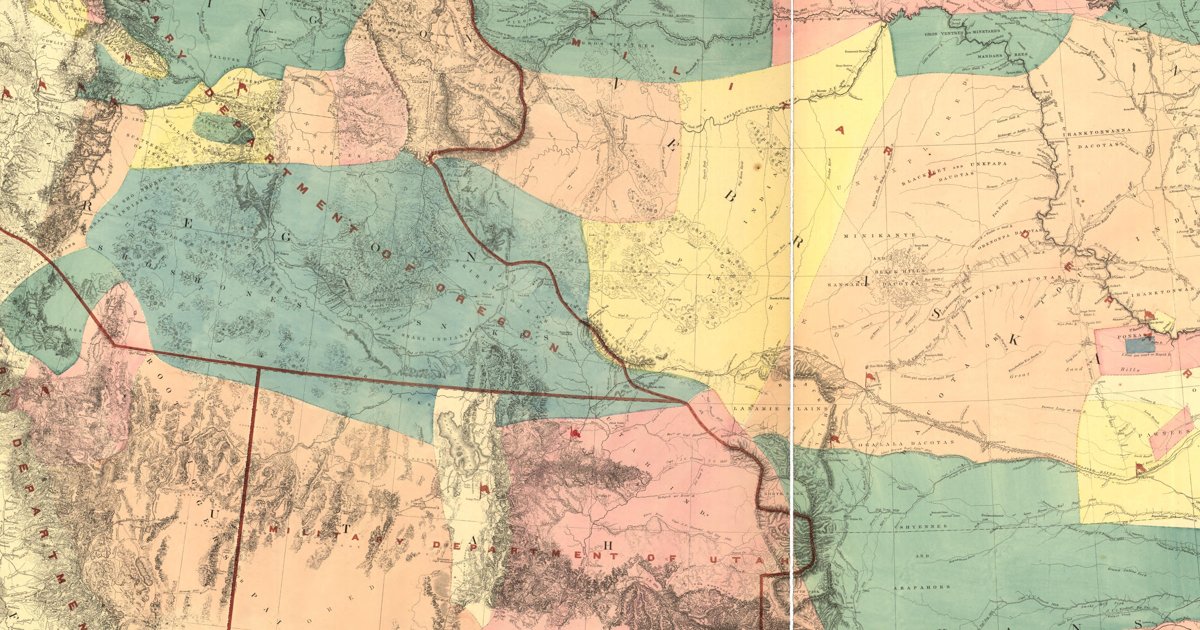
The Navajo, Apache, Pima and Papago countries, from Warren's 1857 War Department map of the West.

Open full-screen map

Advertisement

Historic maps for Arizona

Preview of The Navajo Country, 1916

The Navajo Country, 1916

Herbert E. Gregory, USGS, 1916 · about 7 km accuracy

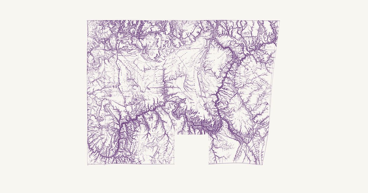
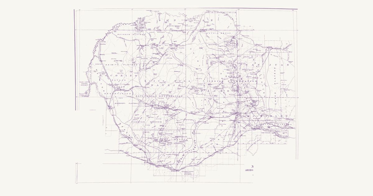
Herbert E. Gregory’s survey map of the Diné and Hopi country between the Colorado, the San Juan and the Puerco: the trails between springs, trading posts and missions, the reservation lines, and the routes of the explorers before 1909.

Source: Internet Archive · Rights: public domain

Open in the map

Preview of Ives’s Colorado River and the Hopi mesas, 1858

Ives’s Colorado River and the Hopi mesas, 1858

Lieut. Joseph C. Ives; drawn by F. W. von Egloffstein, 1858 · about 12 km accuracy

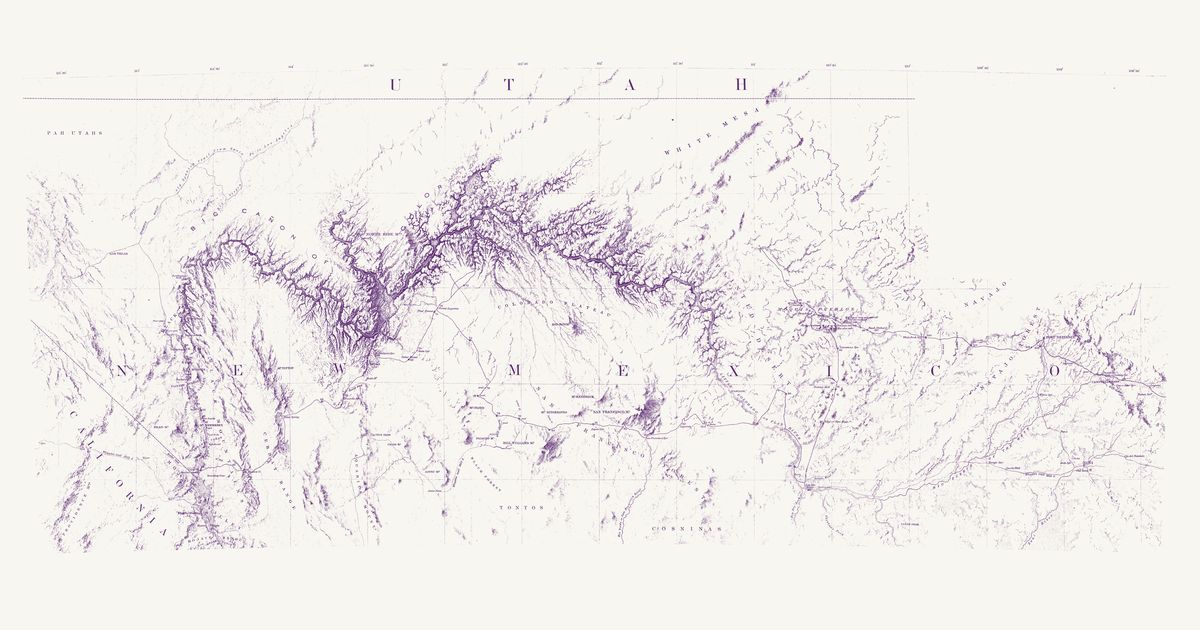
Lieutenant Joseph C. Ives’s map of his 1857–58 expedition up the Colorado River and east across the plateau to the Hopi mesas, Fort Defiance and Zuni, drawn by F. W. von Egloffstein. It names the Hopi villages one by one — Orayba (Oraibi), Shung-o-pah-wee (Shungopavi), Sha-pau-lah-wee (Shipaulovi), Moo-sha-neh (Mishongnovi), Hual-pee (Walpi), See-cho-mah-wee (Sichomovi) and the Tegua town (Hano) — with Zuni and the country of the Navajo, Hualapai, Havasupai (“Cosninas”), Southern Paiute (“Pah Utahs”) and Tonto, and marks two “Ind. trail” lines crossing its route east of the mesas, between Peach Orchard Spring and Pueblo Colorado Wash.

Source: Library of Congress · Rights: public domain

Open in the map

Preview of Grand Canyon, Paria to Diamond Creek, 1874

Grand Canyon, Paria to Diamond Creek, 1874

G. Thompson (Wheeler survey), 1874 · about 15 km accuracy

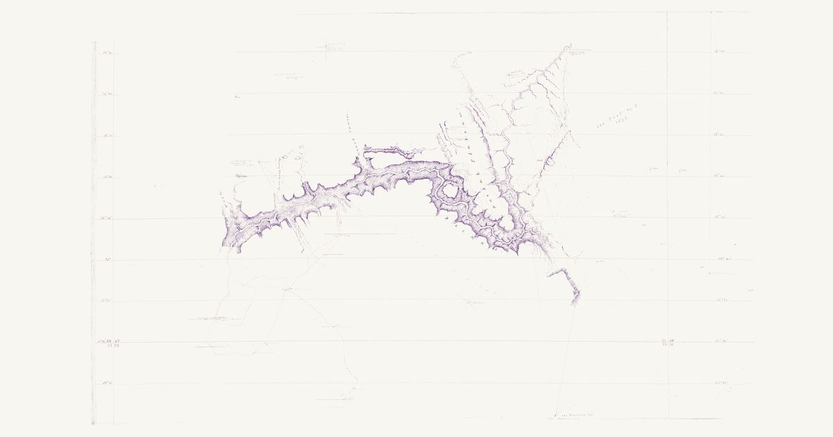
G. Thompson’s manuscript sketch for the Wheeler survey (the U.S. Geographical Surveys West of the 100th Meridian), compiled in 1874 “from surveys and sketches of the Office” at four miles to the inch: the Grand Cañon in hachures from the mouth of the Paria through Marble Cañon, past the mouth of the Little Colorado, around the “Island Plateau” (Powell Plateau) and the mouths of Kanab Cañon and Cataract Creek (Havasu Creek), to the To-ro-weap Valley and its cones, with the Kaibab Plateau and its East and West Terraces, Jacob’s Pool and Pipe Spring to the north, and red triangulation rays from Thompson’s 1872 stations to San Francisco Mountain, Red Butte and Navajo Mountain, and on his 1873 line to the Hopi town of Oraibi. Lieutenant Ives’s survey of 1858 is copied in blue (“evidently correct”): his camps 67–77 from the mouth of Diamond Creek by Hualpais Spring, the Cedar Forest, Snow Spring, the Pine Forest and the Forest Lagoons to the pools below Mount Floyd, with the “Indian trail” he drew up Diamond Creek in Hualapai country. Thompson adds in black an “Indian foot trail” carrying Ives’s route from his camp 72 down a side canyon of the south rim to the river, across from the Toroweap cone (Vulcan’s Throne), in Havasupai and Hualapai country. The title block and notes are not shown.

Source: Wikimedia Commons · Rights: public domain

Open in the map

Preview of Northern Arizona and southern Utah, 1873 (Wheeler)

Northern Arizona and southern Utah, 1873 (Wheeler)

George M. Wheeler (Weyss, Herman and Lang, del.), 1873 · about 11 km accuracy

Atlas Sheet No. 67 of Lieutenant George M. Wheeler’s U.S. Geographical Surveys West of the 100th Meridian, from his expeditions of 1871–73, with J. W. Powell’s Colorado River survey worked in and the country south of the river between 112° and 113° taken from Ives’s 1858 map: the Colorado’s canyons from the Paria to below Diamond Creek, the Kanab, Paria and Kaibab plateaus, the Mormon towns of the Virgin valley and Kanab, and the Mormon wagon road from Lee’s Ferry to Moen Ava. It draws three trails named for Native peoples: the “Sheavwitz Trail” from Ives’s route north along the plateau west of Cataract Creek (Havasu Creek, in Havasupai country) to “Sheavwitz Crossing” of the Colorado, named for the Shivwits band of Southern Paiute; the “Trail to Moquis Pueblos” from Moen Ava (Moenave) east toward the Hopi towns; and “Navajo’s Trail” from Navajo Spring south-east below White Mesa toward the Navajo country. The plateau around Red Butte, south of the canyon, is not shown.

Source: Library of Congress · Rights: public domain

Open in the map

Preview of Gallatin's tribes of North America, 1836

Gallatin's tribes of North America, 1836

Hon. Albert Gallatin; published by the American Antiquarian Society, Pendleton's Lithography, 1836 · about 100 km accuracy

Albert Gallatin's founding map of American ethnology, published by the American Antiquarian Society with his Synopsis of the Indian Tribes: the homelands of the continent's nations tinted by language family — Algonkin-Lenape, Iroquois, Cherokee, Muskogee, Choctaw-Chickasaw, Sioux, Blackfeet, Pawnee, Athapasca, Eskimaux — as of about 1600 along the Atlantic and about 1800 westward. A continental baseline: every state shows its nations here.

Source: Library of Congress, Geography and Map Division · Rights: public domain

Open in the map

Preview of New Mexico, 1851 (Parke and Kern)

New Mexico, 1851 (Parke and Kern)

John G. Parke and Richard H. Kern, 1851 · about 45 km accuracy

The first survey map of the new Territory of New Mexico: the pueblos, the Navajo, Apache, Ute and Comanche country, the trails between the springs and the Rio Grande towns, and the routes of the 1846–51 expeditions.

Source: Wikimedia Commons · Rights: public domain

Open in the map

Preview of Territory of New Mexico, 1867

Territory of New Mexico, 1867

U.S. Topographical Engineers, 1867 · about 23 km accuracy

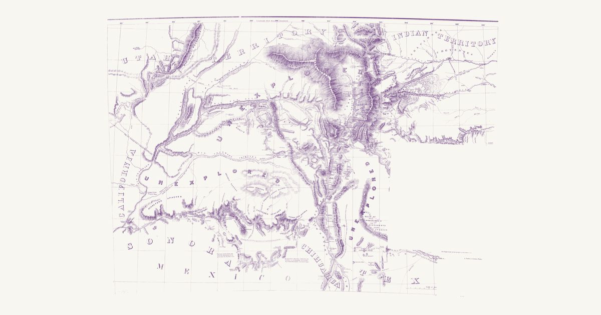
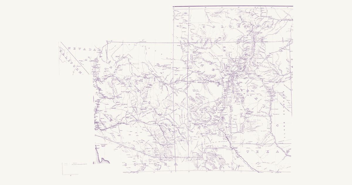
The War Department’s map of the old Territory of New Mexico (today’s New Mexico and Arizona): the Indian trails, springs and water holes, the pueblos, the Navajo, Apache and Ute country, and the routes of the survey and military expeditions of the 1840s and 1850s.

Source: Library of Congress · Rights: public domain

Open in the map

Preview of Nevada and Arizona nations, 1871

Nevada and Arizona nations, 1871

George M. Wheeler and Louis Nell, 1871 · about 10 km accuracy

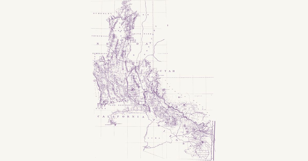
Lieutenant George M. Wheeler’s preliminary map of his 1871 survey south of the Central Pacific Railroad, drawn by Louis Nell for the War Department, in the copy the Office of Indian Affairs kept, on which the nations are written in red and their countries bounded in colour. In Nevada the Shoshones (Newe) run down the middle from the Humboldt to Belmont and the Goshutes lie on the Utah line; the Pah Utes (Numu, Northern Paiute) hold the west, with the “Cal. and Nev. Pah Utes” along the Sierra; “Small Detached Bands” fill a country bounded in pink from Belmont south through Death Valley; and the Pah Utahs (Southern Paiute) run from Pahranagat to the Spring Mountains and Las Vegas. Across the Utah line are the “Utes or Utahs” and the Pah Vans (Pahvant Ute), and on the lower Colorado the Chemehuevis and the Mohaves. In Arizona the map names the Hualapais; the “Mohaves & straggling Apache Mohaves”; the “Apache Mohaves sometimes called Yavapais Apaches” around Prescott; the Tonto Apaches; the “Tontos and Coyeteros”; the “Coyeteros or White Mtn. Apaches”; the “Home of the Pinal Apaches”; the Arivapa Apaches; “Cachese’s Apache Bands” (Cochise’s Chiricahua); the Bonito Apaches and the Mescaleros on the New Mexico line; the “Ranging Ground of Pinals, Arivapas and probably Cachese Bands” in the San Pedro and Santa Catalina country; the “Cosinas Bands” (Havasupai) and the Moquis (Hopi), with a “Neutral Hunting Ground” on the plateau below the San Francisco Mountains. In our words: the nations of the Great Basin and the Colorado Plateau as the Indian Office mapped them in 1871. The printed map, on a figured one-degree graticule, shows the counties, mining districts, towns, army posts and roads; its dashed trails are the survey’s own routes, not Native ones.

Source: National Archives · Rights: public domain

Open in the map
Preview of Warren's map of the West, 1857

Warren's map of the West, 1857

Lieut. G. K. Warren, Topographical Engineers, U.S. War Department, 1857 · about 50 km accuracy

Lieutenant G. K. Warren's master map of the West, compiled in the Office of Pacific Railroad Surveys from every reliable exploration to date: the named country of each nation — Dacotas, Sheyennes, Comanches, Shoshonees, Utahs, Navajoes, Apaches, Blackfeet, Crows, Nez Perces, Pawnees and many more — with villages, forts, and the explorers' and emigrant routes that followed Native trails.

Source: Library of Congress, Geography and Map Division · Rights: public domain

Open in the map
Preview of Whipple’s 35th-parallel survey, 1853–54

Whipple’s 35th-parallel survey, 1853–54

Lieut. A. W. Whipple, Topl. Engrs., assisted by Lieut. J. C. Ives and A. H. Campbell, 1855 · about 25 km accuracy

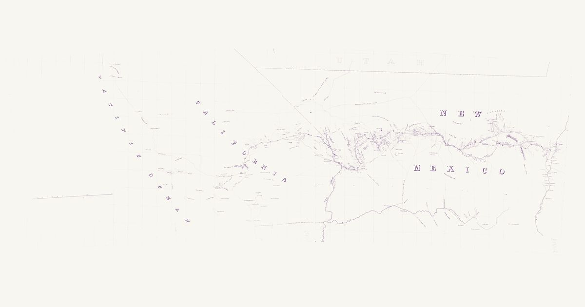
Lieutenant Amiel W. Whipple’s reconnaissance for a railroad near the 35th parallel, 1853–54, from the Rio Grande at Albuquerque to Los Angeles (Map No. 2 of his report). It marks the Spanish Trail by the Vegas springs, a trail through the country it labels “Yampais (Ya-ba-pais)”, the Hopi (“Moquis”) and Navajo country, Zuni, Old Zuni and the Rio Grande pueblos, and the route down the Mojave River and over Cajon Pass.

Source: Library of Congress · Rights: public domain

Open in the map
What the 1857 map shows

Lieutenant G. K. Warren compiled the War Department’s master map of the West from every exploration to date. Each nation’s country is named and tinted, with villages, forts, and the exploration and emigrant routes — most of them following trails travelled for centuries. Use the scan layer: the color tints carry the meaning.

Reading the overlay

At 1:3,000,000 the territory boundaries are Warren’s synthesis, not surveyed lines — read them as whose country, accurate to a few tens of kilometres.

Talk about Arizona

Discussion board for AZ

Start a thread All discussions

Know Arizona? Join free to add field notes, fix where a place sits on the map, and help find more maps.Join free

Sources from readers

Know a county history, a survey record or an article that bears on this? Add a source — it’s credited to you.

Advertisement