New York: Native trails and villages

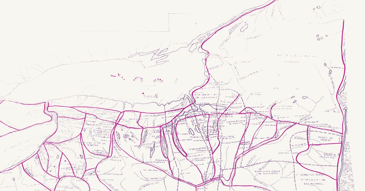
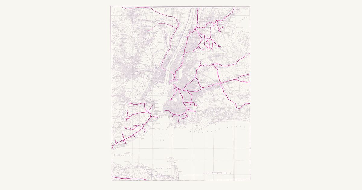
Morgan & Parker's 1851 map of the Haudenosaunee homeland, redrawn in 1962, laid over today's roads: the Central Trail from the Mohawk to the Genesee, the lake shores, and the villages of the Six Nations.

Open full-screen map

Advertisement

Historic maps for New York

Preview of Gallatin's tribes of North America, 1836

Gallatin's tribes of North America, 1836

Hon. Albert Gallatin; published by the American Antiquarian Society, Pendleton's Lithography, 1836 · about 100 km accuracy

Albert Gallatin's founding map of American ethnology, published by the American Antiquarian Society with his Synopsis of the Indian Tribes: the homelands of the continent's nations tinted by language family — Algonkin-Lenape, Iroquois, Cherokee, Muskogee, Choctaw-Chickasaw, Sioux, Blackfeet, Pawnee, Athapasca, Eskimaux — as of about 1600 along the Atlantic and about 1800 westward. A continental baseline: every state shows its nations here.

Source: Library of Congress, Geography and Map Division · Rights: public domain

Open in the map

Preview of New Hampshire, 1761 (Blanchard and Langdon)

New Hampshire, 1761 (Blanchard and Langdon)

Joseph Blanchard and Samuel Langdon, 1761 · about 20 km accuracy

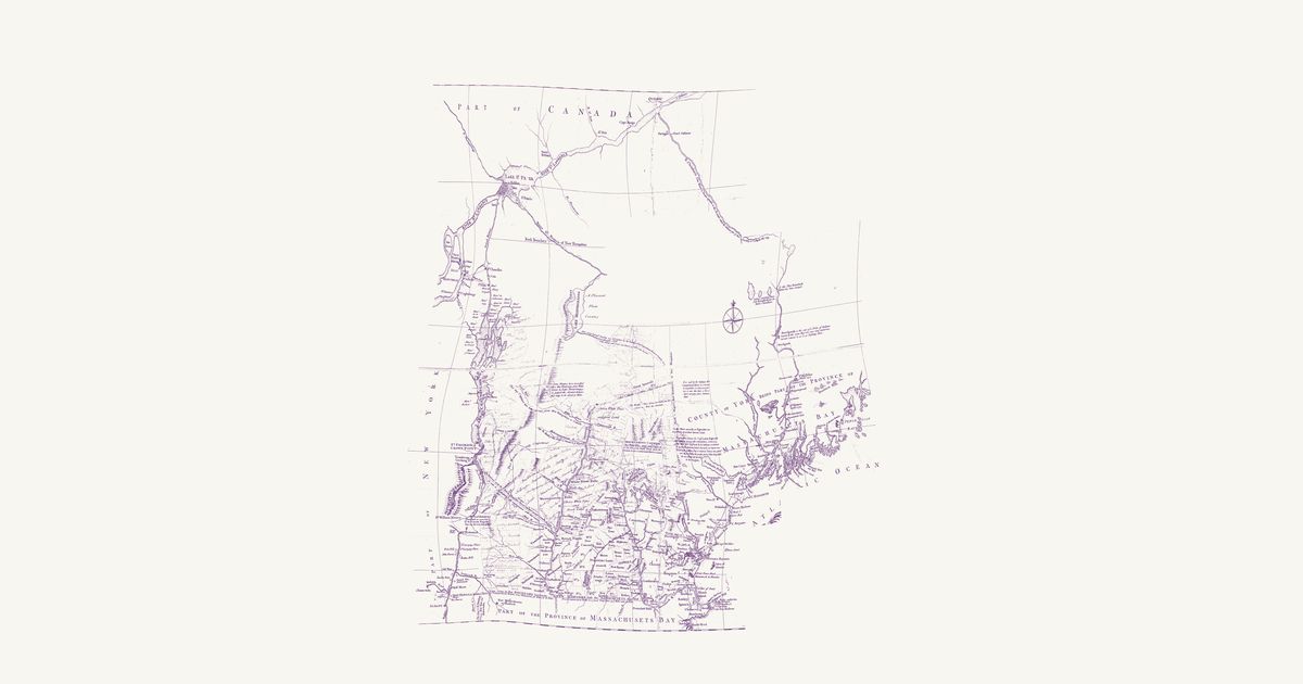
Joseph Blanchard and Samuel Langdon’s map of New Hampshire, dedicated at Portsmouth in October 1761 and engraved in London by Thomas Jefferys: the province and the country around it in the last French war, from Albany and Lake Champlain to Penobscot Bay and north to Quebec and the St. Lawrence. Its notes record the Wabanaki (Abenaki) ways north to Canada as the colonists of the wars knew them: the “Indian carrying Place from Kennebeck into the River Chaudiere”, drawn as a double-pricked line through three ponds; the Chaudière, “drawn agreable to the Accounts which the Indians give of their Travelling to Canada this way”; the river and lakes by which “Lieut. Starks was led Captive by the Indians from Connecticut River to Canada 1752”; and the ways captives were taken up the Black River, and up Wells River and down the French River toward Lake Champlain. It marks St. Francis (Odanak) by Lake St. Peter, notes Norridgewock on the Kennebec as the seat of a Wabanaki people, and records what “is said by the Indians” of a short carrying place between the heads of the Connecticut and the Androscoggin. This copy carries contemporary ink additions — the New Hampshire Grants townships west of the Connecticut and some northern rivers — left as they are; the upper Chaudière, drawn from report too freely to place, is not shown.

Source: Library of Congress · Rights: public domain

Open in the map

Preview of New Jersey Indian Path, 1747

New Jersey Indian Path, 1747

Bill in Chancery of New-Jersey, 1747 · about 30 km accuracy

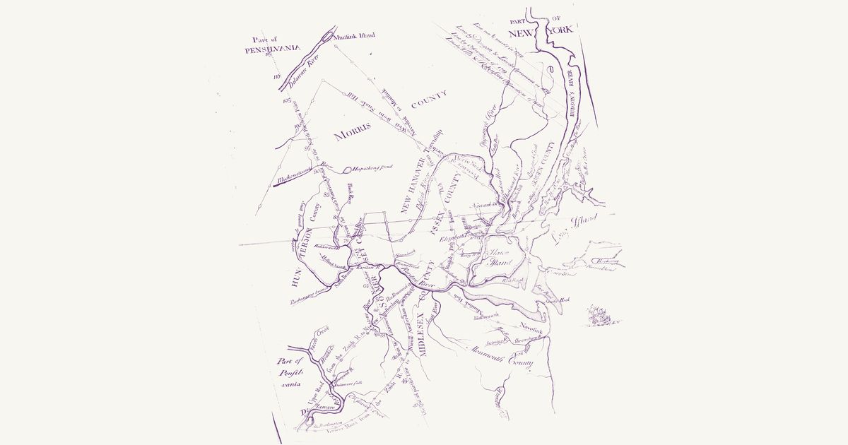
The second map of the 1747 Bill in Chancery of New-Jersey: the Indian Path from the Raritan to the Minisink country on the upper Delaware, the Minisink and Navesink paths, the roads and the old partition lines of East and West Jersey.

Source: New York Public Library · Rights: public domain

Open in the map

Preview of Butler’s march to Onaquaga, 1778

Butler’s march to Onaquaga, 1778

William Gray, 1778 · about 16 km accuracy

Captain William Gray’s draught of Colonel William Butler’s 1778 march from Schoharie to the Haudenosaunee and Delaware towns of Unadilla, Conihunto and Onaquaga on the upper Susquehanna, which the expedition burned: the waggon roads double-dotted and the Indian paths single-dotted.

Source: Internet Archive · Rights: public domain

Open in the map

Preview of Guy Johnson's map of the Six Nations, 1771

Guy Johnson's map of the Six Nations, 1771

Guy Johnson, 1851 · about 30 km accuracy

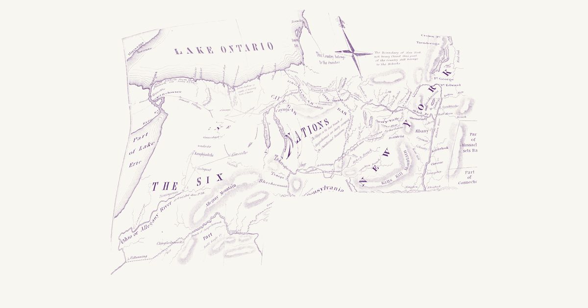
Guy Johnson's 1771 map of the country of the Six Nations for Governor Tryon, engraved in 1851: Indian villages and chief towns, the Indian paths between them, and the 1768 Fort Stanwix boundary line, from Niagara to Albany and south to the Susquehanna and the Allegheny.

Source: New York Public Library · Rights: public domain

Open in the map

Preview of Iroquois trails and villages, 1851

Iroquois trails and villages, 1851

Lewis H. Morgan and Ely S. Parker, 1851 · redrawn 1962 · about 9 km accuracy

Lewis Henry Morgan and Ely S. Parker's 1851 map of the Haudenosaunee homeland, showing the principal trails, villages, lakes and rivers with their Iroquois names, in Eber L. Russell's 1962 redraw with villages, trails and springs added from fifty years of research. Rubber-sheeted to modern lakes and river junctions.

Source: Norman B. Leventhal Map & Education Center, Boston Public Library · Rights: public domain

Open in the map

Preview of Northwestern New York paths, c. 1765

Northwestern New York paths, c. 1765

Unknown, 1768 · about 16 km accuracy

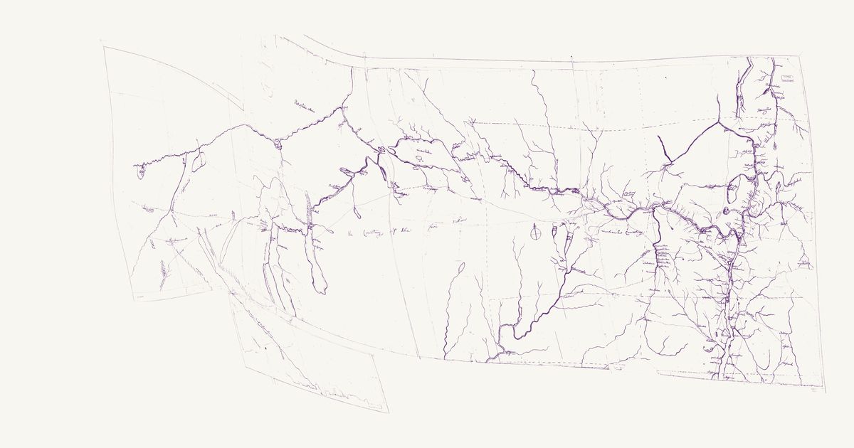
An anonymous manuscript map of the Mohawk valley and the country of the Five Nations to the Genesee, drawn between 1750 and 1768: Indian paths in dotted lines with the miles between towns and the number of houses in each.

Source: Library of Congress · Rights: public domain

Open in the map

Preview of Province of New York, 1779 (Sauthier)

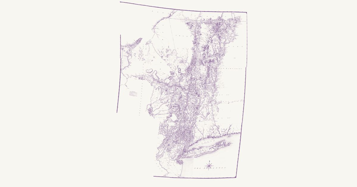
Province of New York, 1779 (Sauthier)

Claude Joseph Sauthier, 1779 · about 29 km accuracy

Claude Joseph Sauthier’s great survey map of New York on the eve of the Revolution: the patents and townships, the Oneida, Onondaga and Mohawk country with its castles and carrying places, and the paths from the Mohawk to Oswego and the St. Lawrence.

Source: Leventhal Map & Education Center · Rights: public domain

Open in the map

Preview of Pennsylvania, 1792 (Howell)

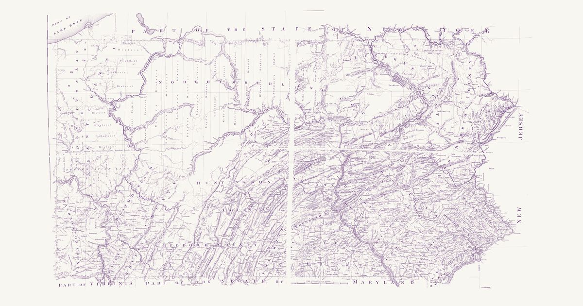
Pennsylvania, 1792 (Howell)

Reading Howell, 1792 · about 5 km accuracy

Reading Howell’s map of the state, published at Philadelphia in 1792 and shown here in the facsimile printed for the Pennsylvania Archives in 1896: Pennsylvania from Lake Erie and the Ohio line to the Delaware, with its counties and townships, the Depreciation and Donation lands of the northwest, the district lines of the late surveys, the roads, mills, forges and towns of the new state, and the edges of New York, New Jersey, Delaware, Maryland, Ohio and Virginia. Howell compiled it from the Land Office surveys and the state’s own surveys of its boundaries and rivers. Its Explanation keys “An Indian Path” (a fine dotted line) and “An Indian town” (a small tent): Kuskusky, a Moravian town on the Beaver, Logs Town, Conemaugh, Frankstown and Obeals (Cornplanter’s town) on the Allegheny, and paths of the Lenape (Delaware), Shawnee, Seneca and other Haudenosaunee nations across the north and west — the Snow Shoe path from the West Branch to the Bald Eagle’s Nest, the “Portage 23 Miles” between the Canoe Places of the Allegheny and the Sinnemahoning, the Kittanning path toward Frankstown, the Sheshequin path over Burnet’s Hills, and shorter paths to the Lick on the Elk Lick Branch and to the Salt Spring. Not shown: the copyright notice, the title, the dedication, the Explanation, the mounting strip and cloth seam between the four pieces of the sheet, and the margins.

Source: Library of Congress · Rights: public domain

Open in the map

Preview of Susquehanna frontier, c. 1778

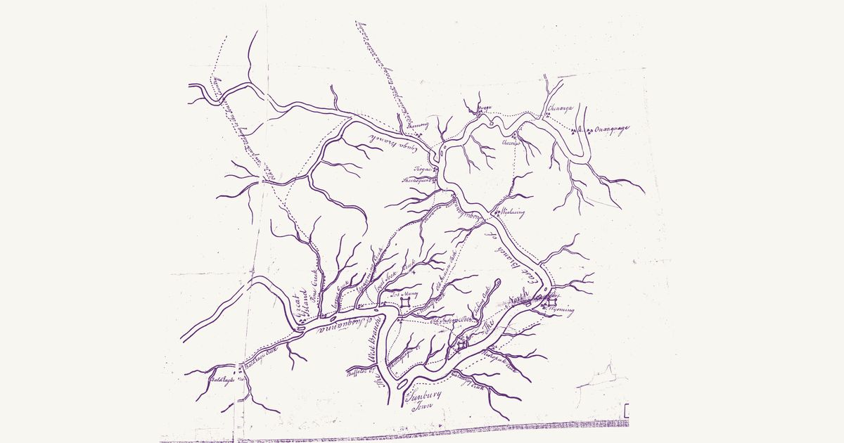
Susquehanna frontier, c. 1778

Unknown, 1778 · about 14 km accuracy

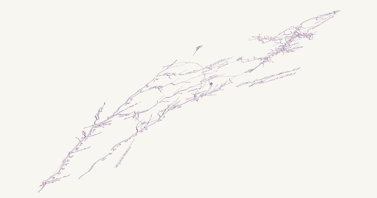
An anonymous pen-and-ink manuscript of about 1778, titled on its back “Plan of part of western front”: the Susquehanna valley north of Sunbury on the eve of the 1779 campaign. It draws the West Branch from Bald Eagles Nest and the Great Island down to the forks at Sunbury Town, and the North-East Branch up past Wyoming, Wyalusing and Tioga into New York to Owega, Chenanga and Onanquage, with the Cayuga (Chemung) Branch west of Tioga. Small triangles mark the towns of the upper Susquehanna — of the Haudenosaunee (Seneca and Cayuga among them), the Lenape (Delaware) and the Munsee — at Skemong, Tioga, Sheshequene, Wyalusing, Wyoming, Owega, Choconut, Chenanga and Onanquage, at Bald Eagles Nest and the Great Island, and at the mouths of Pine, Lycoming, Loyal Sock, Muncy, Tawanda and Nescopeck Creeks; dotted paths join them. Two are lettered “Old Indian Path” — up Muncy Creek toward Wyalusing, and from the town at the mouth of Muncy Creek over Fishing Creek toward Wyoming — and two “Old Indian Path leading to the Senica Country”, north from Skemong and north-west from Pine Creek. The forts of 1778 at Muncy, Wyoming and Fort Jenkins are drawn too. A sketch of Lakes Erie and Ontario, the Niagara and the Senica River, drawn too freely to place, is not shown.

Source: Library of Congress · Rights: public domain

Open in the map
Preview of Pennsylvania and New York, 1749

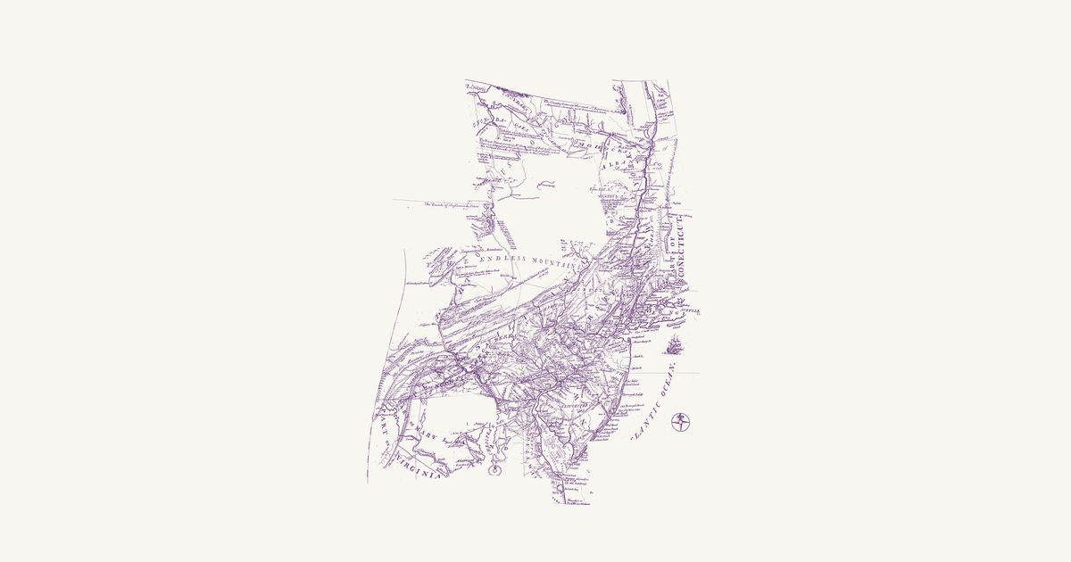
Pennsylvania and New York, 1749

Lewis Evans, 1752 · about 21 km accuracy

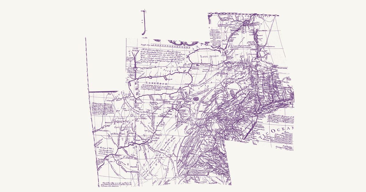
Lewis Evans’s map of Pennsylvania, New Jersey, New York and the three Delaware counties, first published at Philadelphia in 1749 — this is the second edition of July 1752. North and west of the settlements it letters the Six Nations’ country across the upper Susquehanna and the lands of the Mohawk, Oneida, Onondaga and Tuscarora along the Mohawk River and Wood Creek, with “Onondaga where the Gen.l Council of the Confederate Republic of the Six Nations meets”, and it marks the Indian towns of the Susquehanna and Juniata country, home then to Lenape, Shawnee and Haudenosaunee people — Shamokin, Wyoming, Owego, Osewingo, French Margaret’s town and Black Log. Its paths there are dotted and named: the “Path to Wióming”, “A Path to Shamokin scarce passable for 3 steep Mountains”, “The new Path” and the “Tuscarora Path” from Black Log, with the carrying places from the Mohawk to Wood Creek and from the Hudson to Wood Creek. Another dotted line is the route Evans rode with John Bartram and Conrad Weiser to Onondaga and Oswego in 1743, and a third the bound of the lands the Six Nations released at Philadelphia on 22 August 1749, from the Kittatinny Mountains north to that line. The long notes on the weather, the mountains and the longitude, the key and the table of distances are not shown.

Source: Library of Congress · Rights: public domain

Open in the map
Preview of Middle British Colonies, 1755

Middle British Colonies, 1755

Lewis Evans, 1755 · about 61 km accuracy

Lewis Evans’s 1755 map of the middle colonies and the Six Nations’ country: the Indian towns of the Ohio and the Susquehanna, the war paths and trading paths with their mileages, the portages, and his notes on the land, from Lake Ontario to the Kentucky country.

Source: Library of Congress · Rights: public domain

Open in the map
What the 1851 map shows

Lewis Henry Morgan and Ely S. Parker, a Seneca, compiled the map for Morgan’s League of the Iroquois (1851) from French maps of 1720 and earlier and from Parker’s knowledge. It draws the principal trails as dotted lines, the villages, and the lakes and rivers with their Haudenosaunee names. Eber L. Russell of Perrysburg redrew it in 1962 at twice the scale, adding villages, trails and springs from fifty years of his own research.

The spine of the network is the Central Trail (the “Iroquois Trail”), which ran from the Hudson at Albany up the Mohawk to the carrying place at Rome, then west through Oneida Castle, Canastota, Chittenango and Onondaga to Cayuga, Geneva, Canandaigua and the Genesee. Its line survives as NY-5, the Seneca Turnpike and, at a distance, the Thruway. Branches ran north to Oneida Lake and Oswego, south down the Chenango and Susquehanna, and west along the lake shores.

Reading the overlay

The 1962 drawing is loose. Its scale wanders across the sheet and some village symbols sit 10–15 km from the historic sites, so the overlay is rubber-sheeted to lakes and river junctions and is accurate to about 5 km. Use the slider to fade between the sheet and today’s map, switch to the original scan to read Russell’s lettering, and search a historic name to jump to it.

By county

  • Cayuga County — Auburn on the Owasco outlet, the Cayuga villages along the lake, and the crossing of the Cayuga outlet on the Central Trail.
  • Herkimer County — The Mohawk at Herkimer and Little Falls; West Canada Creek; the valley trail on both banks.
  • Madison County — Oneida Castle, Canastota, Chittenango and Cazenovia on the Central Trail; the Oneida heartland.
  • Montgomery County — The Schoharie mouth at Fort Hunter, the Mohawk castles, Canajoharie and Amsterdam on the valley trail.
  • Oneida County — Rome, the carrying place between the Mohawk and Wood Creek; Utica; the trail from Oneida Castle to the Mohawk.
  • Onondaga County — Onondaga, the central council fire of the Confederacy; Onondaga Lake; the Central Trail and the branch north to Three Rivers.
  • Ontario County — Kanadesaga (Geneva), the Seneca capital of the 1700s, and Canandaigua on the Central Trail west of the lakes.
  • Seneca County — Between the lakes: Seneca Falls, Waterloo (Skoiyase) and the Montezuma marsh, where the Central Trail crossed.

Trails

  • The Central Trail: Onondaga to Rome — The eastern half of the Iroquois Trail, from the Onondaga council fire through Manlius, Chittenango, Canastota and Oneida Castle to the carrying place at Rome.
  • The Genesee valley — The trail down the Genesee from the falls at Rochester through Avon, Geneseo and Mount Morris to Nunda, Caneadea and the Allegheny.
  • The Central Trail: Onondaga to Canandaigua — The western half of the Iroquois Trail across the Finger Lakes: Marcellus, Skaneateles, Auburn, the Cayuga crossing, Seneca Falls, Geneva and Canandaigua.
  • The Mohawk valley — The trail from the carrying place at Rome down the Mohawk to Utica, Herkimer, Little Falls, Canajoharie, Fort Hunter, Schenectady and the Hudson at Cohoes.
  • Oneida Lake and the Oswego River — The branch from the Central Trail north to Oneida Lake, Three Rivers and Oswego, and the shore trail along Lake Ontario to the Salmon River.
  • Susquehanna and Chenango — The trails south from Oneida country down the Chenango to Binghamton, and from Otsego Lake down the Susquehanna to Sidney and the Great Bend.

Talk about New York

Discussion board for NY

Start a thread All discussions

Know New York? Join free to add field notes, fix where a place sits on the map, and help find more maps.Join free

Sources from readers

Know a county history, a survey record or an article that bears on this? Add a source — it’s credited to you.

Advertisement