California: Native trails and villages

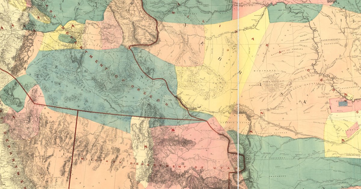
California's nations as recorded on Warren's 1857 War Department map; Kroeber's forty-map handbook of California's peoples is next on the roadmap.

Open full-screen map

Advertisement

Historic maps for California

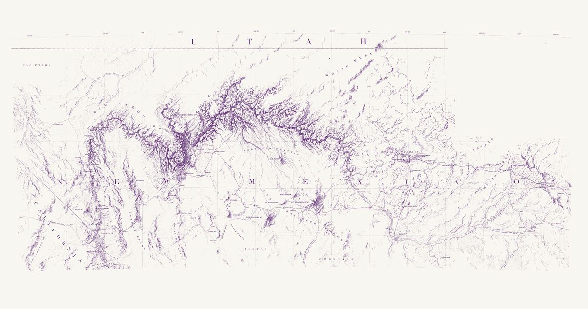
Preview of Ives’s Colorado River and the Hopi mesas, 1858

Ives’s Colorado River and the Hopi mesas, 1858

Lieut. Joseph C. Ives; drawn by F. W. von Egloffstein, 1858 · about 12 km accuracy

Lieutenant Joseph C. Ives’s map of his 1857–58 expedition up the Colorado River and east across the plateau to the Hopi mesas, Fort Defiance and Zuni, drawn by F. W. von Egloffstein. It names the Hopi villages one by one — Orayba (Oraibi), Shung-o-pah-wee (Shungopavi), Sha-pau-lah-wee (Shipaulovi), Moo-sha-neh (Mishongnovi), Hual-pee (Walpi), See-cho-mah-wee (Sichomovi) and the Tegua town (Hano) — with Zuni and the country of the Navajo, Hualapai, Havasupai (“Cosninas”), Southern Paiute (“Pah Utahs”) and Tonto, and marks two “Ind. trail” lines crossing its route east of the mesas, between Peach Orchard Spring and Pueblo Colorado Wash.

Source: Library of Congress · Rights: public domain

Open in the map

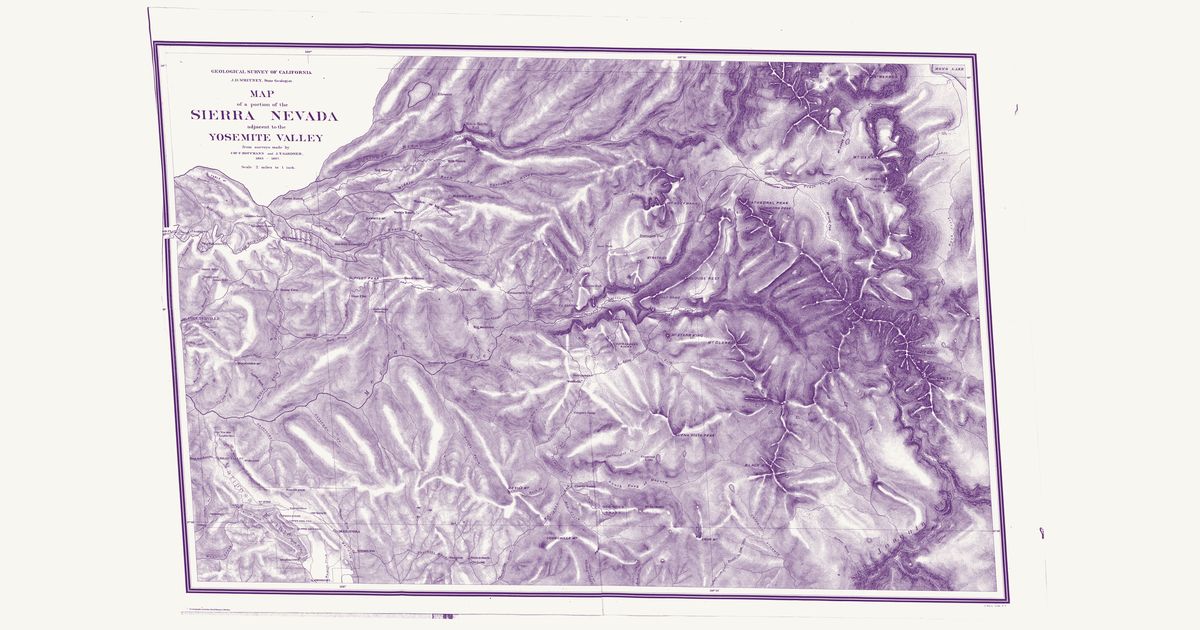
Preview of Sierra Nevada by Yosemite, 1868

Sierra Nevada by Yosemite, 1868

Charles F. Hoffmann and James T. Gardner (Geological Survey of California), 1868 · about 6 km accuracy

The Geological Survey of California’s map of the Sierra Nevada around Yosemite Valley, from Charles F. Hoffmann’s and James T. Gardner’s surveys of 1863–67: the “Trail to Mono” — the old Miwok and Mono Paiute trade route — from Yosemite Creek past Porcupine Flat, Lake Tenaya and Tuolumne Meadows over Mono Pass and down Bloody Cañon toward Mono Lake, with the trails and roads of the Merced and Tuolumne country.

Source: Wikimedia Commons · Rights: public domain

Open in the map

Preview of Trail from Mono Lake to Black’s, 1860s

Trail from Mono Lake to Black’s, 1860s

U.S. Army (unsigned), 1865 · about 15 km accuracy

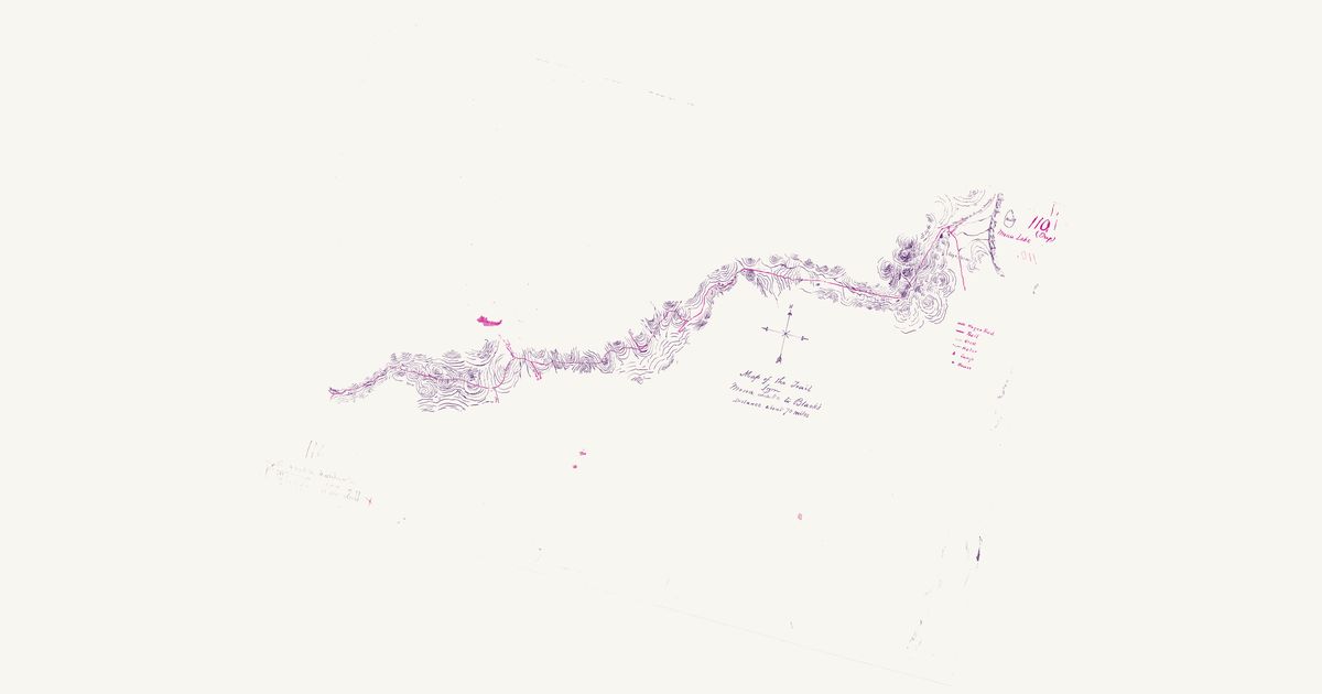
An Army manuscript “Map of the Trail from Mona Lake to Black’s — distance about 70 miles” (National Archives), drawn in the 1860s: the trail in red from the camp at Walker Lake below Bloody Cañon, over Mono Pass, down the Tuolumne past Tuolumne Meadows and Lake Tenaya, by Porcupine Flat and Tamarack and Crane flats — where the Yosemite and the Sonora and Big Oak Flat trails branch off — and down past the farms to Black’s on Bull Creek: the Mono Trail, the Miwok and Mono Paiute route across the Sierra.

Source: Wikimedia Commons · Rights: public domain

Open in the map

Preview of Gallatin's tribes of North America, 1836

Gallatin's tribes of North America, 1836

Hon. Albert Gallatin; published by the American Antiquarian Society, Pendleton's Lithography, 1836 · about 100 km accuracy

Albert Gallatin's founding map of American ethnology, published by the American Antiquarian Society with his Synopsis of the Indian Tribes: the homelands of the continent's nations tinted by language family — Algonkin-Lenape, Iroquois, Cherokee, Muskogee, Choctaw-Chickasaw, Sioux, Blackfeet, Pawnee, Athapasca, Eskimaux — as of about 1600 along the Atlantic and about 1800 westward. A continental baseline: every state shows its nations here.

Source: Library of Congress, Geography and Map Division · Rights: public domain

Open in the map

Preview of Territory of New Mexico, 1867

Territory of New Mexico, 1867

U.S. Topographical Engineers, 1867 · about 23 km accuracy

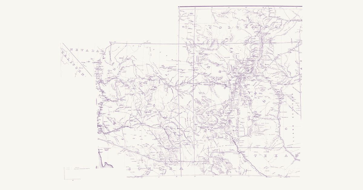
The War Department’s map of the old Territory of New Mexico (today’s New Mexico and Arizona): the Indian trails, springs and water holes, the pueblos, the Navajo, Apache and Ute country, and the routes of the survey and military expeditions of the 1840s and 1850s.

Source: Library of Congress · Rights: public domain

Open in the map

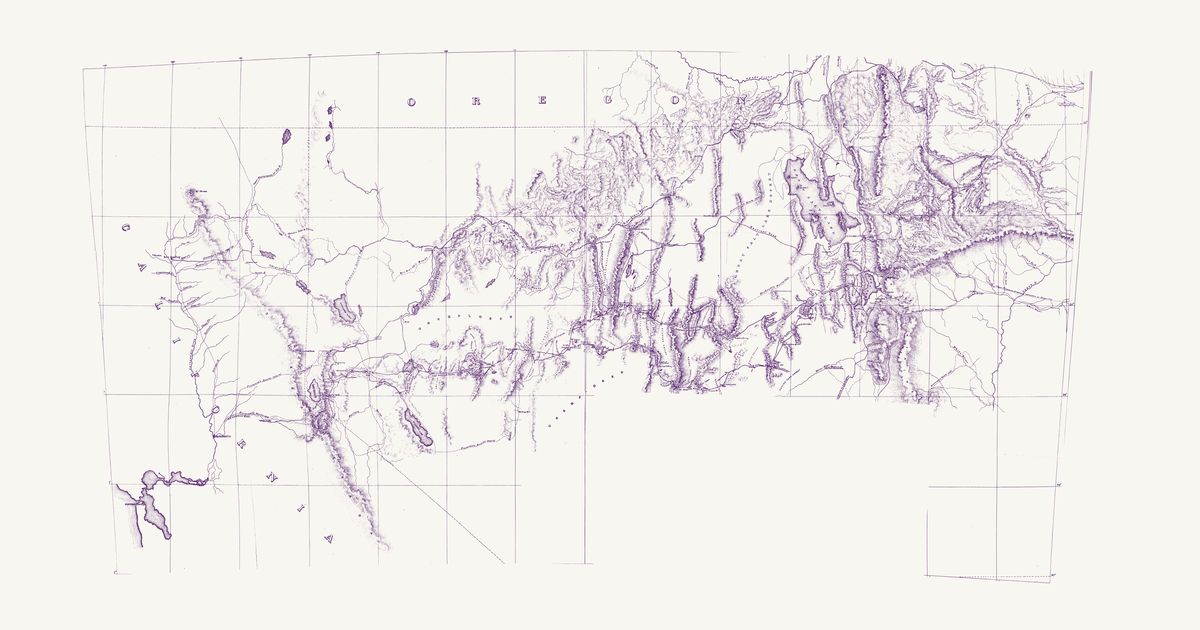
Preview of Central Nevada, about 1864

Central Nevada, about 1864

Office of the Chief of Engineers, U.S.A., 1864 · about 17 km accuracy

An undated manuscript map from the War Department’s Office of the Chief of Engineers, catalogued long ago as “Map of country around Carson Co., Utah Ty.” but drawn about 1864: it shows Ione and La Plata, county seats from 1864, and the trails of Breyfogle and Buel, who went out from Austin in 1864, but not Belmont, founded late in 1865; the sheet itself names no territory or state. On an unlabelled one-degree graticule it covers Nevada from Lake Tahoe (“Lake Bigler or Tahoe”) and the Sierra east to the 114th meridian and from the Oregon line south to the Amargosa: the Comstock and Carson Valley towns, Austin and the Reese River, Humboldt and Esmeralda mining camps, the Overland Mail stations, the emigrant and Hastings roads, and the prospectors’ trails of De Groot, Breyfogle and Buel. A fine dotted line marked “Old Indian Trail” runs north-east from a road at the edge of an alkali flat and drifting sand east of Walker Lake, past an “Indian Camp”, to the road into Ione — across the borderland between Northern Paiute (Numu) country around Walker Lake and Western Shoshone (Newe) country in Ione Valley; the map does not say whose trail it was. The sheet also names Shoshone Well, Shoshone Cañon, Indian Valley and Indian Spring, and keeps Western Shoshone and Goshute names that Simpson’s 1859 survey recorded in the east — the Un-go-we-ah Mountains, Ui-ya-bi Pass and Mo-ko-ga-ri Butte. One label in the south, marking graves, is masked and not shown.

Source: Wikimedia Commons · Rights: public domain

Open in the map

Preview of Nevada nations, 1866 (Holt)

Nevada nations, 1866 (Holt)

Warren Holt and Grafton T. Brown, 1866 · about 14 km accuracy

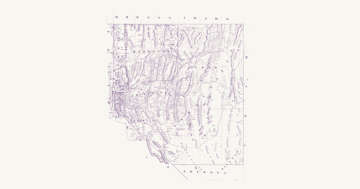
Warren Holt’s map of the State of Nevada, lithographed by Grafton T. Brown in San Francisco in 1866, in the copy the Office of Indian Affairs kept. A manuscript note on the sheet, signed by Franklin Campbell of the Indian service in Nevada, says that “the names and population of the different Indian tribes, the boundary lines of the districts over which they roam and of the Walker, Pyramid and Timber Reserves, are marked in red ink.” Written large in red across the printed counties are the Pi-Utes (Numu, Northern Paiute) from Walker Lake and the Carson Sink north into the Humboldt country, the Washoes around Lake Tahoe and the Truckee Meadows, the Pit River Indians and the Modocs in the north-west corner, the Bannacks along the Oregon and Idaho line (“Pop. 1500”), the Shoshones (Newe, Western Shoshone) in a broad band from the upper Humboldt south through the Reese River, Toiyabe and Diamond ranges, the Goships (Goshute) on the Utah line, and the Pai-Utes (Southern Paiute) in the south-east, with “Death Valley” in red across the south-west; population figures stand beside several names, and red dashed lines bound the districts, the Pyramid Lake and Walker River reservations, and a timber reserve on the Truckee. In our words: the Numu, Washoe, Newe, Goshute and Southern Paiute countries as the Indian Office saw them in 1866. The printed map, on a figured one-degree graticule, shows the counties as they stood in 1866, the Comstock and Reese River mining districts, the Overland Mail and emigrant roads, the prospectors’ and explorers’ trails, a printed “Toquima Indians” by the Toquima range, and a fine dotted “Old Indian Trail” east of Walker Lake toward Ione. Two labels marking graves are masked and not shown.

Source: National Archives · Rights: public domain

Open in the map
Preview of Nevada and Arizona nations, 1871

Nevada and Arizona nations, 1871

George M. Wheeler and Louis Nell, 1871 · about 10 km accuracy

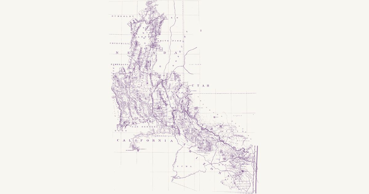
Lieutenant George M. Wheeler’s preliminary map of his 1871 survey south of the Central Pacific Railroad, drawn by Louis Nell for the War Department, in the copy the Office of Indian Affairs kept, on which the nations are written in red and their countries bounded in colour. In Nevada the Shoshones (Newe) run down the middle from the Humboldt to Belmont and the Goshutes lie on the Utah line; the Pah Utes (Numu, Northern Paiute) hold the west, with the “Cal. and Nev. Pah Utes” along the Sierra; “Small Detached Bands” fill a country bounded in pink from Belmont south through Death Valley; and the Pah Utahs (Southern Paiute) run from Pahranagat to the Spring Mountains and Las Vegas. Across the Utah line are the “Utes or Utahs” and the Pah Vans (Pahvant Ute), and on the lower Colorado the Chemehuevis and the Mohaves. In Arizona the map names the Hualapais; the “Mohaves & straggling Apache Mohaves”; the “Apache Mohaves sometimes called Yavapais Apaches” around Prescott; the Tonto Apaches; the “Tontos and Coyeteros”; the “Coyeteros or White Mtn. Apaches”; the “Home of the Pinal Apaches”; the Arivapa Apaches; “Cachese’s Apache Bands” (Cochise’s Chiricahua); the Bonito Apaches and the Mescaleros on the New Mexico line; the “Ranging Ground of Pinals, Arivapas and probably Cachese Bands” in the San Pedro and Santa Catalina country; the “Cosinas Bands” (Havasupai) and the Moquis (Hopi), with a “Neutral Hunting Ground” on the plateau below the San Francisco Mountains. In our words: the nations of the Great Basin and the Colorado Plateau as the Indian Office mapped them in 1871. The printed map, on a figured one-degree graticule, shows the counties, mining districts, towns, army posts and roads; its dashed trails are the survey’s own routes, not Native ones.

Source: National Archives · Rights: public domain

Open in the map
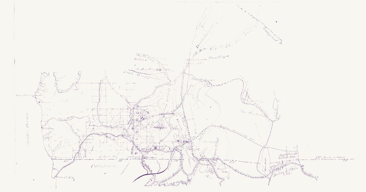
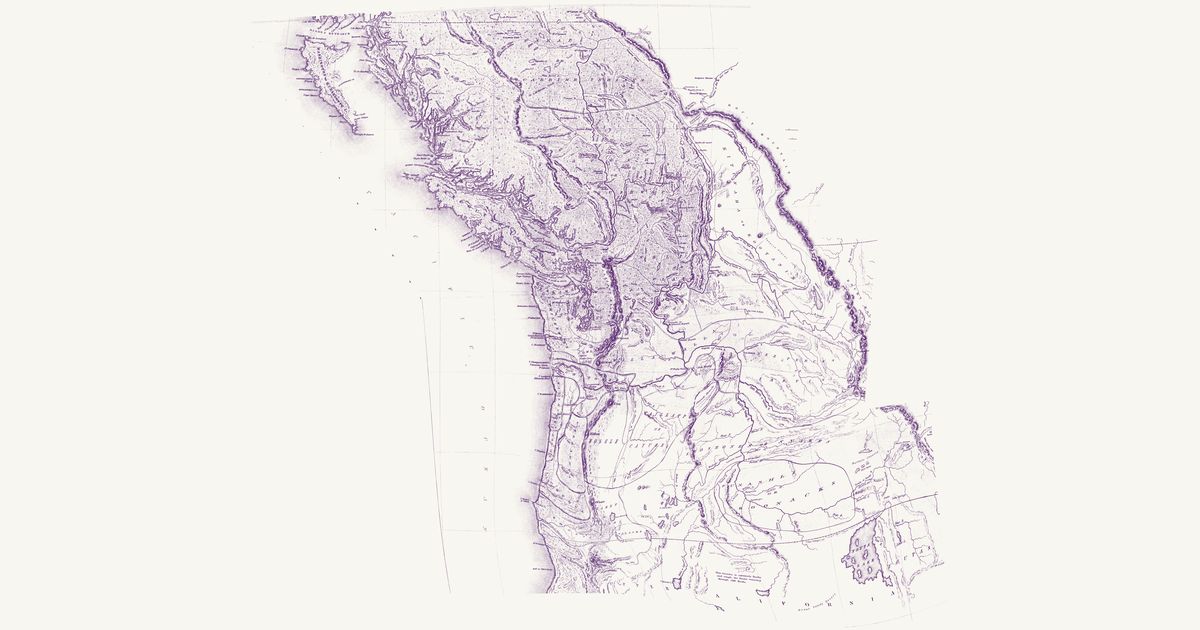
Preview of Klamath and Modoc country, 1862

Klamath and Modoc country, 1862

1st Oregon Cavalry, 1862 · about 23 km accuracy

A manuscript field map of south-western Oregon from the 1st Oregon Cavalry’s scout of the Klamath country in 1862: the Rogue valley, the Cascades and the Klamath Lakes east to Goose, Summer and Abert lakes, with Capt. Kelly’s and Lt. White’s camps of September–November 1862, the proposed site for a post at the Klamath Lakes, a proposed agency and reservation for the Klamath and Modoc, and the wagon roads and pack trails explored to the Dalles and Lassen’s Meadows. Its legend keys “Indian Trails in present use” in red: trails of the Klamath (Maqlaqs) and Modoc country — between the villages at Klamath Marsh, on the east shore of Upper Klamath Lake and at Link River, and on to Lost River and Tule (Rhett) and Clear (Wright) lakes — with others west over the Cascades toward the Rogue and Umpqua valleys and north up the Deschutes; the Northern Paiute (“Pah Ute”) country lies to the east. Red notes record killings along the emigrant roads from 1847 to the early 1860s. Lake Harney and the Owyhee country, sketched too freely to place, are not shown; nor are the table of distances and the legend.

Source: Wikimedia Commons · Rights: public domain

Open in the map
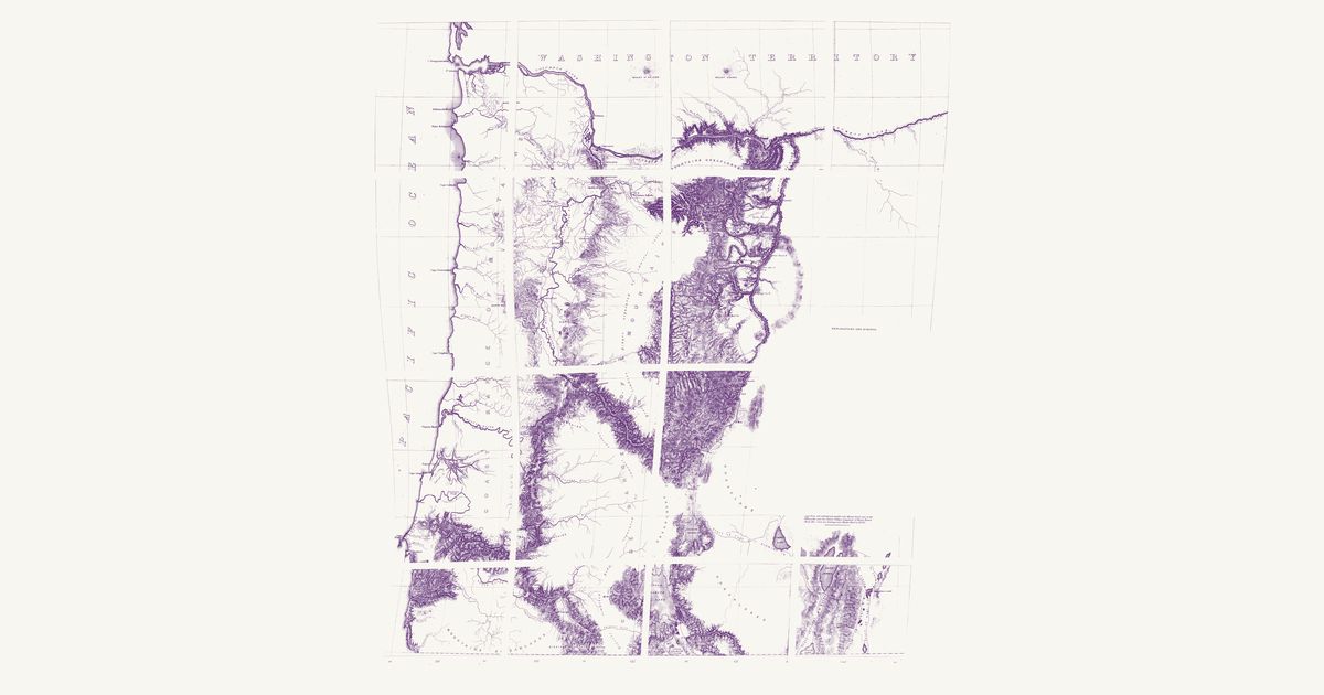
Preview of Williamson & Abbot’s Oregon routes, 1855

Williamson & Abbot’s Oregon routes, 1855

Lieut. R. S. Williamson and Lieut. H. L. Abbot, U.S. Topographical Engineers; drawn by John Young, 1859 · about 18 km accuracy

Map No. 2 of the Pacific Railroad Surveys: the routes Lieutenants Robert S. Williamson and Henry L. Abbot explored in 1855 from the northern boundary of California to the Columbia, along the Willamette valley and east of the Cascades by the Deschutes. East of Mount Hood it marks an “Indian Trail” across Tygh (“Tysch”) Prairie, on the way south from the Columbia at the Dalles, and it carries Native names along the way — Wil-la-wit Spring, Nu-ah-hum Peak — with the Klamath lakes and the Rogue, Umpqua and Coquille valleys.

Source: Library of Congress · Rights: public domain

Open in the map

Preview of Warren's map of the West, 1857

Warren's map of the West, 1857

Lieut. G. K. Warren, Topographical Engineers, U.S. War Department, 1857 · about 50 km accuracy

Lieutenant G. K. Warren's master map of the West, compiled in the Office of Pacific Railroad Surveys from every reliable exploration to date: the named country of each nation — Dacotas, Sheyennes, Comanches, Shoshonees, Utahs, Navajoes, Apaches, Blackfeet, Crows, Nez Perces, Pawnees and many more — with villages, forts, and the explorers' and emigrant routes that followed Native trails.

Source: Library of Congress, Geography and Map Division · Rights: public domain

Open in the map
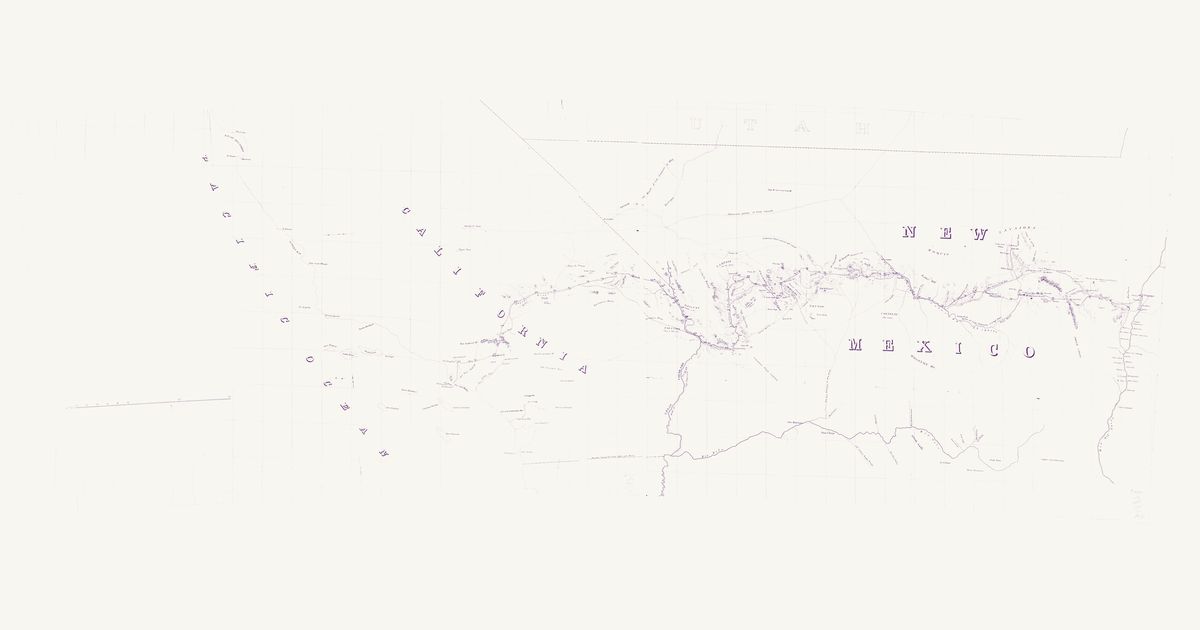
Preview of Whipple’s 35th-parallel survey, 1853–54

Whipple’s 35th-parallel survey, 1853–54

Lieut. A. W. Whipple, Topl. Engrs., assisted by Lieut. J. C. Ives and A. H. Campbell, 1855 · about 25 km accuracy

Lieutenant Amiel W. Whipple’s reconnaissance for a railroad near the 35th parallel, 1853–54, from the Rio Grande at Albuquerque to Los Angeles (Map No. 2 of his report). It marks the Spanish Trail by the Vegas springs, a trail through the country it labels “Yampais (Ya-ba-pais)”, the Hopi (“Moquis”) and Navajo country, Zuni, Old Zuni and the Rio Grande pueblos, and the route down the Mojave River and over Cajon Pass.

Source: Library of Congress · Rights: public domain

Open in the map
Preview of Oregon Country nations, 1841

Oregon Country nations, 1841

Charles Wilkes, 1841 · about 76 km accuracy

Charles Wilkes’s map of the Oregon Territory from the surveys of the United States Exploring Expedition in 1841, engraved in New York and published in 1844, with the nations coloured and bounded as the expedition’s philologist Horatio Hale divided them, each named over its country: the Takali or Carrier Indians (Dakelh), the Atnah or Soushwap (Secwepemc) and the Kitunaha (Ktunaxa) in the north; the Clalams (S’Klallam), Nisqually, Chickeeles (Chehalis), Cowlitz and Chinooks on Puget Sound and the lower Columbia; the Killamuks (Tillamook), Iacon (Yaquina and Alsea), Callapuya (Kalapuya), Umpqua and Molele (Molalla) on the coast and the Willamette; the Pischous (Wenatchi), Selish and Flatheads (Salish), Walla-Walla, Waillatpu or Cayuse and Saptin (Nez Perce) on the Columbia plateau; the Shaste (Shasta), Klamet or Lutuami (Klamath) and Palaiks (Achumawi) in the south; and the Shoshones or Snakes, Punashli or Bonacks (Bannock) and Youtas (Ute) in the Snake country. Rivers, mountains, missions and posts are drawn and named, with the dotted tracks of the 1841 parties. The inset of the Columbia, the British territory east of the Rocky Mountains with the title and a note, and the Missouri and Platte country beyond the mountains — drawn from Hudson’s Bay Company and Frémont’s information, with no nations named — are not shown.

Source: Library of Congress · Rights: public domain

Open in the map
Preview of Simpson’s wagon routes across the Great Basin, 1859

Simpson’s wagon routes across the Great Basin, 1859

Capt. J. H. Simpson, Topl. Engrs., U.S.A.; drawn by J. P. Mechlin, 1859 · about 20 km accuracy

Captain James H. Simpson’s map of the wagon routes he explored and opened across the Great Basin in 1858–59, west from Camp Floyd and Salt Lake City to Genoa in Carson Valley, with the earlier routes of Stansbury, Frémont, Gunnison and Beckwith. Across what is now central Nevada it gives valleys and ranges the Western Shoshone names Simpson’s party recorded — Pah-hun-nupe Valley, Won-a-ho-nupe Valley, the Too-muntz and Pah-re-ah ranges — and it shows Utah Lake, the Jordan valley and the Utah settlements of the time.

Source: Library of Congress · Rights: public domain

Open in the map
What the 1857 map shows

Lieutenant G. K. Warren compiled the War Department’s master map of the West from every exploration to date. Each nation’s country is named and tinted, with villages, forts, and the exploration and emigrant routes — most of them following trails travelled for centuries. Use the scan layer: the color tints carry the meaning.

Reading the overlay

At 1:3,000,000 the territory boundaries are Warren’s synthesis, not surveyed lines — read them as whose country, accurate to a few tens of kilometres.

Talk about California

Discussion board for CA

Start a thread All discussions

Know California? Join free to add field notes, fix where a place sits on the map, and help find more maps.Join free

Sources from readers

Know a county history, a survey record or an article that bears on this? Add a source — it’s credited to you.

Advertisement