Colorado: Native trails and villages

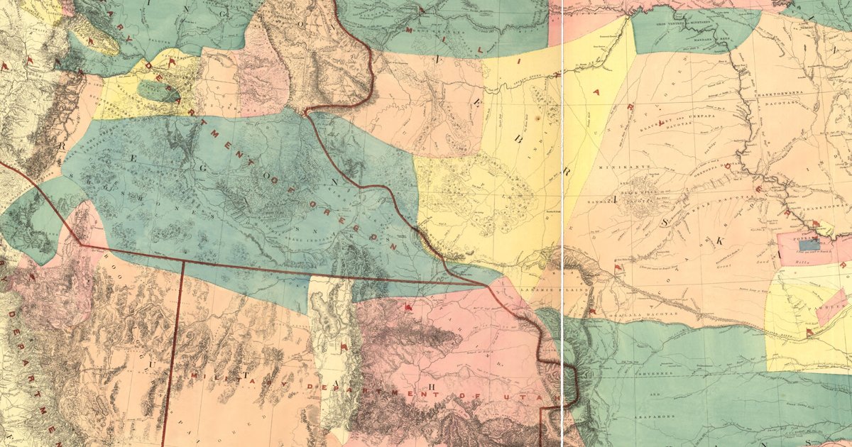
The Ute mountains and the Cheyenne and Arapaho plains, from Warren's 1857 War Department map of the West.

Open full-screen map

Advertisement

Historic maps for Colorado

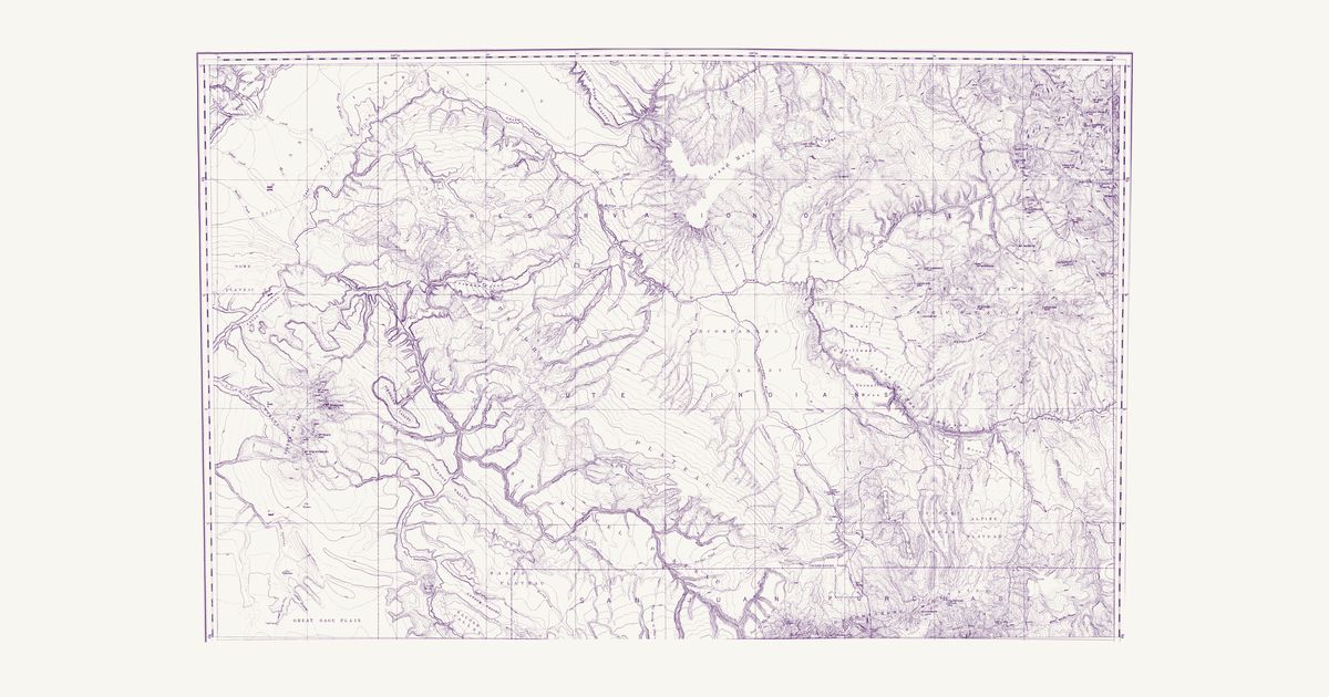
Preview of Northern central Colorado, 1877 (Hayden)

Northern central Colorado, 1877 (Hayden)

F. V. Hayden (G. R. Bechler, S. B. Ladd and H. Gannett, topographers), 1877 · about 3 km accuracy

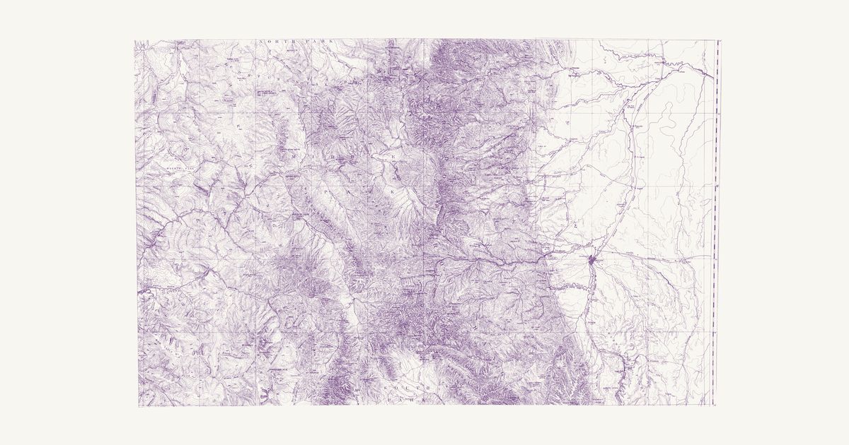
Sheet VI of F. V. Hayden’s Geological and Geographical Atlas of Colorado (U.S. Geological and Geographical Survey of the Territories, 1877), surveyed 1873–76: North Park, Middle Park and the Front Range from Longs Peak to the South Park, Denver, Boulder and the plains, with the Indian Trail up the North Platte in North Park toward Willow Creek Pass and contours every 200 feet.

Source: Wikimedia Commons · Rights: public domain

Open in the map

Preview of Western Colorado, 1877 (Hayden)

Western Colorado, 1877 (Hayden)

F. V. Hayden (Henry Gannett and A. D. Wilson, topographers), 1877 · about 3 km accuracy

Sheet VII of F. V. Hayden’s Geological and Geographical Atlas of Colorado (U.S. Geological and Geographical Survey of the Territories, 1877), surveyed 1874–76 by Henry Gannett and A. D. Wilson: the Ute Reservation from the Grand River and Grand Mesa to the Uncompahgre valley and the San Juan Mountains, with the Navajo Trail across the Uncompahgre Plateau, the Ute farms, the trails and roads of the Gunnison and Uncompahgre country and contours every 200 feet.

Source: Wikimedia Commons · Rights: public domain

Open in the map

Preview of Gallatin's tribes of North America, 1836

Gallatin's tribes of North America, 1836

Hon. Albert Gallatin; published by the American Antiquarian Society, Pendleton's Lithography, 1836 · about 100 km accuracy

Albert Gallatin's founding map of American ethnology, published by the American Antiquarian Society with his Synopsis of the Indian Tribes: the homelands of the continent's nations tinted by language family — Algonkin-Lenape, Iroquois, Cherokee, Muskogee, Choctaw-Chickasaw, Sioux, Blackfeet, Pawnee, Athapasca, Eskimaux — as of about 1600 along the Atlantic and about 1800 westward. A continental baseline: every state shows its nations here.

Source: Library of Congress, Geography and Map Division · Rights: public domain

Open in the map

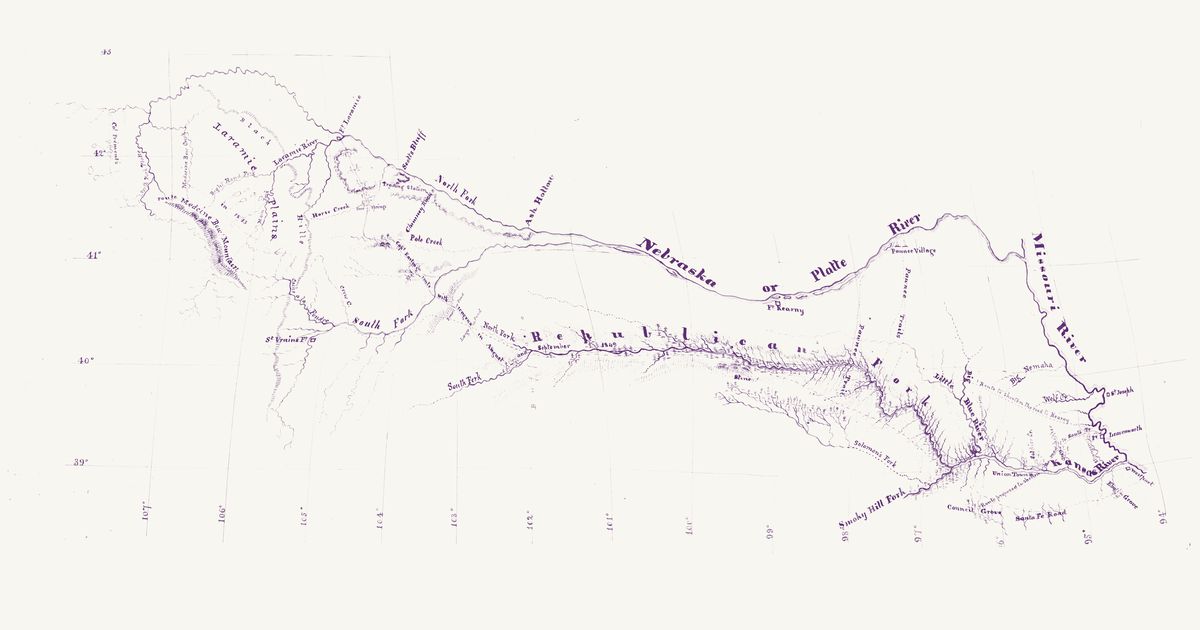
Preview of Fort Laramie to Leavenworth, 1849

Fort Laramie to Leavenworth, 1849

L. C. Easton, 1849 · about 34 km accuracy

Captain L. C. Easton’s manuscript map, made for the Army’s Quartermaster’s Department, of the route he took with wagons in August and September 1849 from Fort Laramie to Fort Leavenworth: south-east from the fort past Scott’s Bluff, Chimney Rock and Pole Creek to the South Fork of the Platte, across to the forks of the Republican, and down the Republican Fork to the Kansas, Union Town and Fort Leavenworth, drawn in red with the road to Fort Kearny, the road to Santa Fe by Westport and Council Grove, and the routes proposed to shorten them. Everything else, the map’s note says, is taken from Colonel Frémont’s maps — the Platte and its forks from the Missouri to Fort Laramie and St. Vrain’s Fort, the Laramie Plains and the Medicine Bow Mountains, and the Kansas, Republican, Solomon’s and Smoky Hill forks. “Pawnee Village” stands on the south bank of the Platte below Fort Kearny, and three dotted trails of the Pawnee (Chaticks si Chaticks) run south from the Platte toward their hunting grounds on the Republican: the two lettered “Pawnee Trails” from the village, which Frémont’s 1845 map does not have, and a “Pawnee Trail” from the Platte about 95 km below Fort Kearny across the Little Blue and the Republican Fork toward Solomon’s Fork — Frémont’s single 1845 trail, redrawn some 50 km east of his line.

Source: Wikimedia Commons · Rights: public domain

Open in the map
Preview of New Mexico, 1851 (Parke and Kern)

New Mexico, 1851 (Parke and Kern)

John G. Parke and Richard H. Kern, 1851 · about 45 km accuracy

The first survey map of the new Territory of New Mexico: the pueblos, the Navajo, Apache, Ute and Comanche country, the trails between the springs and the Rio Grande towns, and the routes of the 1846–51 expeditions.

Source: Wikimedia Commons · Rights: public domain

Open in the map
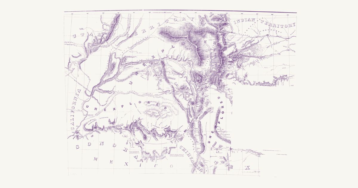
Preview of Territory of New Mexico, 1867

Territory of New Mexico, 1867

U.S. Topographical Engineers, 1867 · about 23 km accuracy

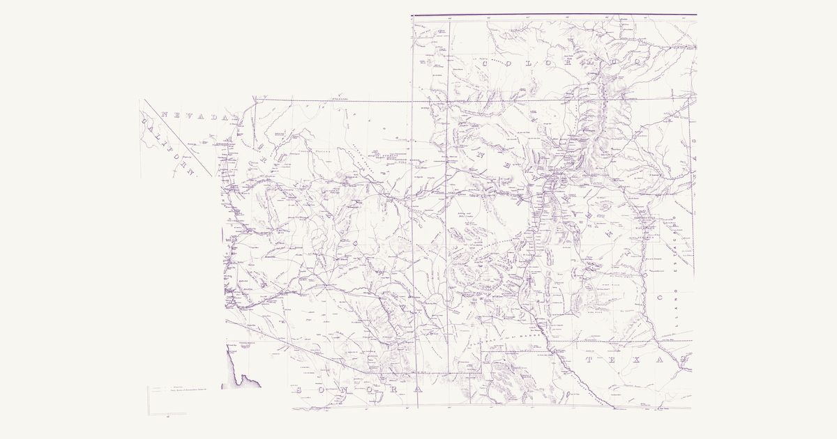
The War Department’s map of the old Territory of New Mexico (today’s New Mexico and Arizona): the Indian trails, springs and water holes, the pueblos, the Navajo, Apache and Ute country, and the routes of the survey and military expeditions of the 1840s and 1850s.

Source: Library of Congress · Rights: public domain

Open in the map

Preview of Warren's map of the West, 1857

Warren's map of the West, 1857

Lieut. G. K. Warren, Topographical Engineers, U.S. War Department, 1857 · about 50 km accuracy

Lieutenant G. K. Warren's master map of the West, compiled in the Office of Pacific Railroad Surveys from every reliable exploration to date: the named country of each nation — Dacotas, Sheyennes, Comanches, Shoshonees, Utahs, Navajoes, Apaches, Blackfeet, Crows, Nez Perces, Pawnees and many more — with villages, forts, and the explorers' and emigrant routes that followed Native trails.

Source: Library of Congress, Geography and Map Division · Rights: public domain

Open in the map
Preview of Nebraska and Dakota, 1857 (Warren)

Nebraska and Dakota, 1857 (Warren)

G. K. Warren, Topographical Engineers, 1857 · about 6 km accuracy

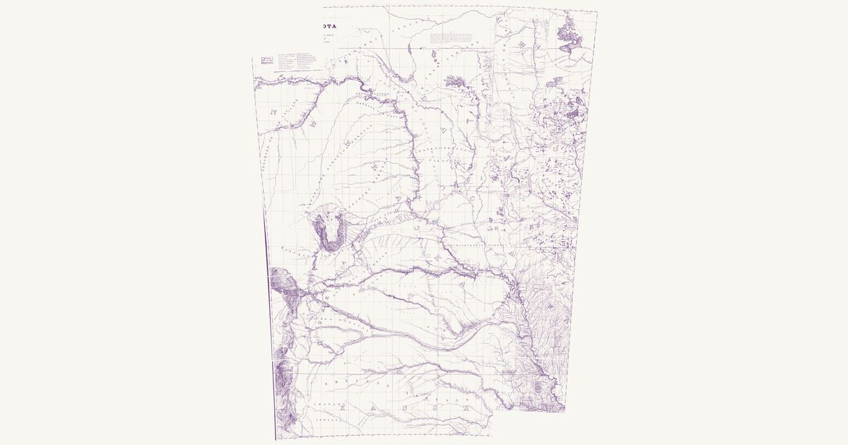
Gouverneur K. Warren’s military map of the northern plains: the lands of each Lakota, Dakota, Cheyenne, Arapaho, Pawnee and other nation as he understood them, the Indian trails and war roads, and the routes of the 1855–57 expeditions.

Source: Library of Congress · Rights: public domain

Open in the map
What the 1857 map shows

Lieutenant G. K. Warren compiled the War Department’s master map of the West from every exploration to date. Each nation’s country is named and tinted, with villages, forts, and the exploration and emigrant routes — most of them following trails travelled for centuries. Use the scan layer: the color tints carry the meaning.

Reading the overlay

At 1:3,000,000 the territory boundaries are Warren’s synthesis, not surveyed lines — read them as whose country, accurate to a few tens of kilometres.

Talk about Colorado

Discussion board for CO

Start a thread All discussions

Know Colorado? Join free to add field notes, fix where a place sits on the map, and help find more maps.Join free

Sources from readers

Know a county history, a survey record or an article that bears on this? Add a source — it’s credited to you.

Advertisement