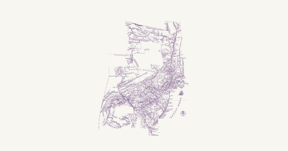
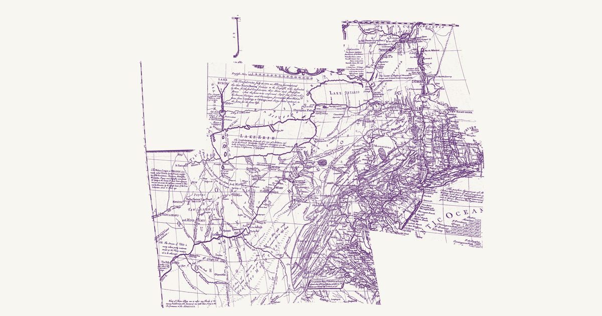
Lewis Evans, 1752 · about 21 km accuracy
Lewis Evans’s map of Pennsylvania, New Jersey, New York and the three Delaware counties, first published at Philadelphia in 1749 — this is the second edition of July 1752. North and west of the settlements it letters the Six Nations’ country across the upper Susquehanna and the lands of the Mohawk, Oneida, Onondaga and Tuscarora along the Mohawk River and Wood Creek, with “Onondaga where the Gen.l Council of the Confederate Republic of the Six Nations meets”, and it marks the Indian towns of the Susquehanna and Juniata country, home then to Lenape, Shawnee and Haudenosaunee people — Shamokin, Wyoming, Owego, Osewingo, French Margaret’s town and Black Log. Its paths there are dotted and named: the “Path to Wióming”, “A Path to Shamokin scarce passable for 3 steep Mountains”, “The new Path” and the “Tuscarora Path” from Black Log, with the carrying places from the Mohawk to Wood Creek and from the Hudson to Wood Creek. Another dotted line is the route Evans rode with John Bartram and Conrad Weiser to Onondaga and Oswego in 1743, and a third the bound of the lands the Six Nations released at Philadelphia on 22 August 1749, from the Kittatinny Mountains north to that line. The long notes on the weather, the mountains and the longitude, the key and the table of distances are not shown.
Source: Library of Congress · Rights: public domain
Open in the map