Georgia: Native trails and villages

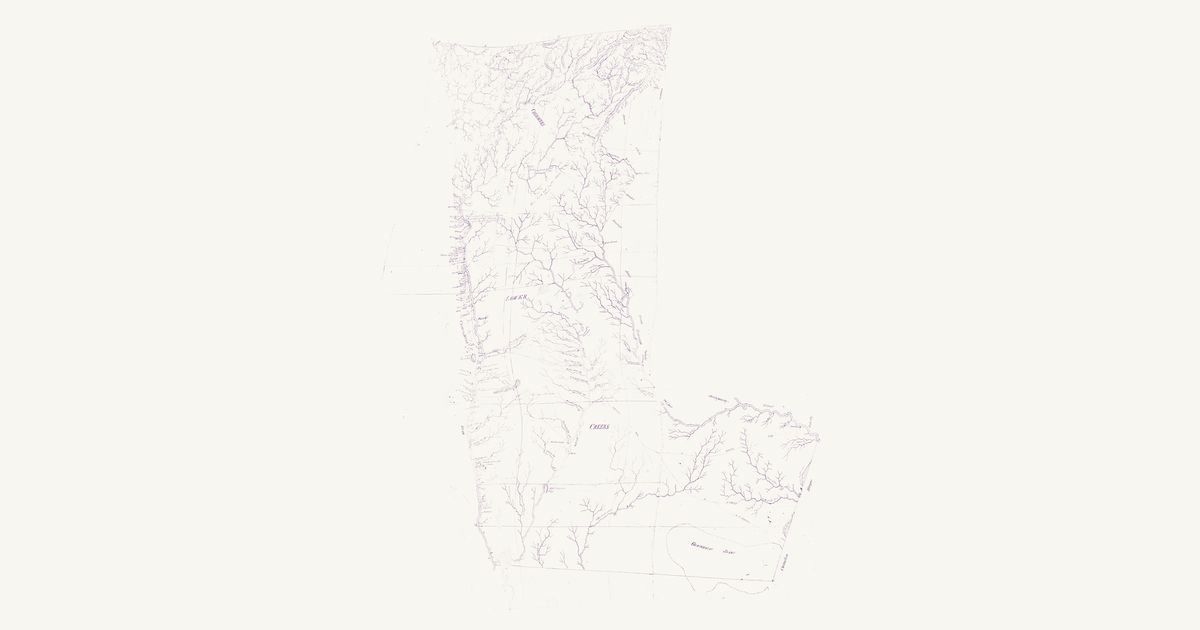
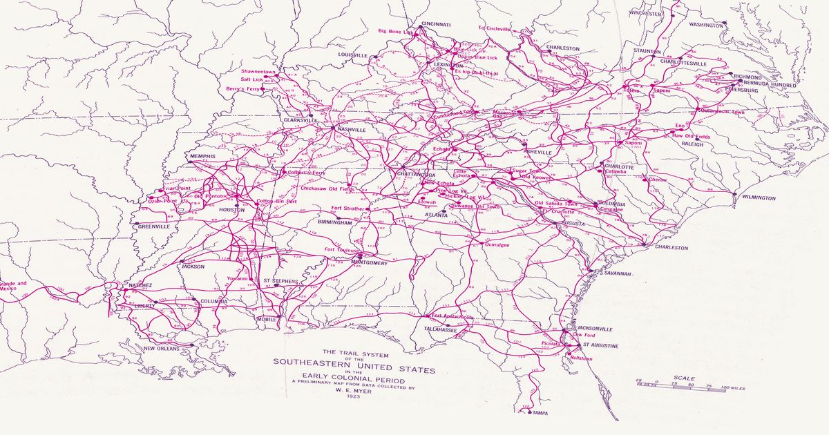
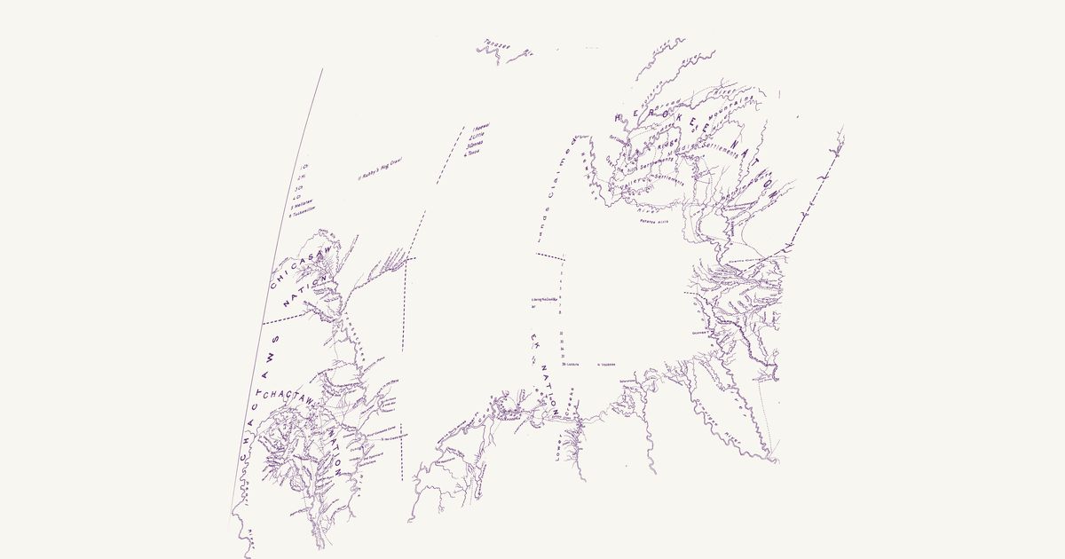
The Lower Creek trading path through Ocmulgee, the Cherokee towns of New Echota and Etowah, and the routes to the Chattahoochee, from Myer's 1928 BAE map.

Open full-screen map

Advertisement

Historic maps for Georgia

Preview of Jackson’s Creek War map, 1813–14

Jackson’s Creek War map, 1813–14

U.S. War Department, 1814 · about 29 km accuracy

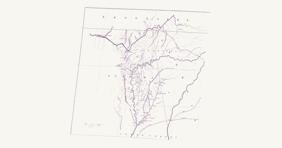
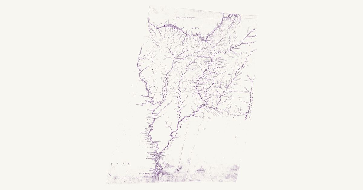
An unsigned War Department manuscript of the country of the Creek War, drawn about 1814 and kept with the Chief of Engineers’ maps: the Tennessee from Ross’s and the Chickamauga down past Huntsville and the Muscle Shoals, and south of it the Tombigbee, Black Warrior, Cahaba, Coosa, Tallapoosa and Alabama rivers down to Mobile, with the Chattahoochee along the east edge. The Muscogee (Creek) Upper Towns stand along the Coosa and the Tallapoosa — Coosa and Coosa Old Town, Abacoochee, Natchez, Eufaula, Hillabee, Soccopoti, Pinthlocca, Lothlocuige, Oakfuskee, Tuckunullahassee, Hickory Ground and Atagi (Attaugu) — and the Cherokee towns along the Tennessee and Wills Creek: Willstown, Turkey’s Town, Crow Town, Nickajack and Running Water. A dashed line lettered “Old Horse path” runs from the Coosa below Tuckunullahassee east past Oakfuskee to Oakfuscoochee and Tallahassee on the Chattahoochee, and a dotted path joins Lothlocuige to Oakfuskee. The map also draws the forts and marching routes of the campaign and notes beside many towns when they were burnt; those are not named here. The title and the scale are not shown.

Source: Wikimedia Commons · Rights: public domain
Open in the map

Preview of Seat of War in Florida, 1839

Seat of War in Florida, 1839

John Mackay and J. E. Blake, 1839 · about 37 km accuracy

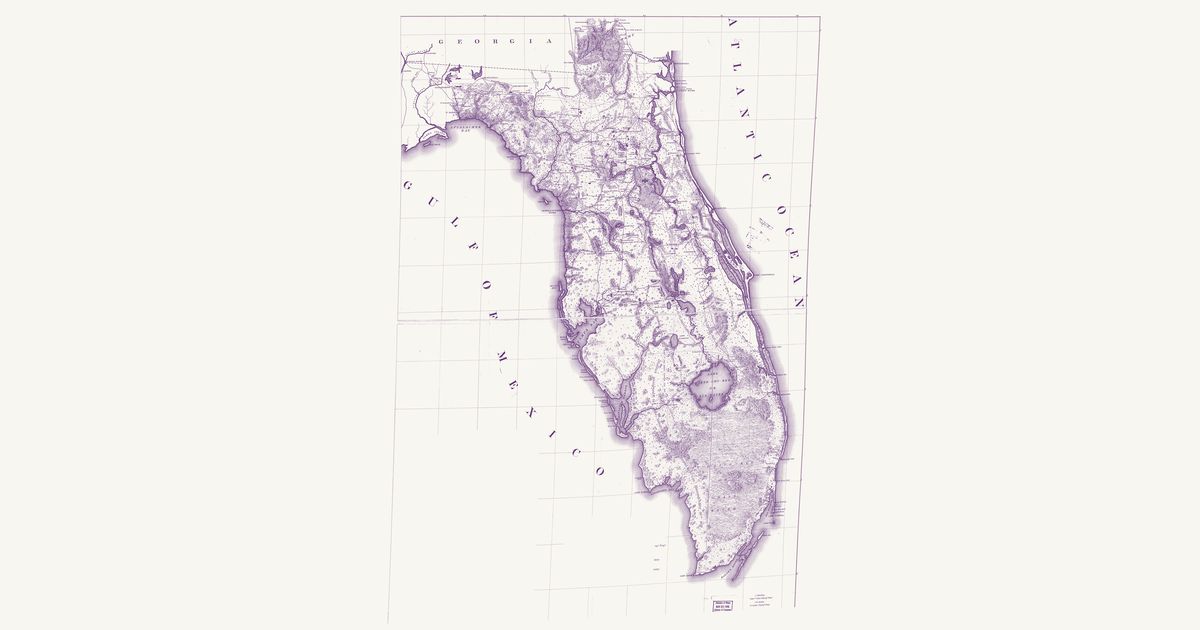
The Army’s map of Florida during the Second Seminole War: the trails and roads the troops followed — many of them older Seminole and Miccosukee paths — the forts and battlefields, the Seminole towns, and the district assigned to the Seminoles by General Macomb in May 1839.

Source: Library of Congress · Rights: public domain

Open in the map

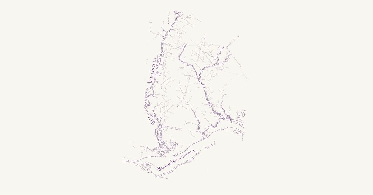
Preview of Apalachicola River, Pintado 1815

Apalachicola River, Pintado 1815

Vicente Sebastián Pintado, 1815 · about 5 km accuracy

Vicente Sebastián Pintado’s manuscript plan of the Apalachicola, drawn in 1815 by the Surveyor General of Spanish West Florida after he went up the river that April: the Apalachicola from the meeting of the Flint and the Chattahoochee down to its bay, with the bluffs along it — Alum Bluff, and Loma de Buenavista or Prospect Bluff, where John Forbes & Co. kept its trading store — the islands of St Vincent, St George and Dog Island, and to the east the Ochlockonee, the Crooked and New rivers and Alligator Harbor. Dotted sendas run out from Prospect Bluff north to the Flint and the Lower Creek country and northeast to the Miccosukee towns, and across the upper country toward the Miccosukee and to San Marcos de Apalache, with one marked as the Miccosukee path of William Augustus Bowles’s day; Tomathlee and Ochesi stand on the river’s west bank and Anacheela on the way east. The notes on the river’s navigation, the scales and the compass rose are not shown.

Source: Library of Congress · Rights: public domain

Open in the map

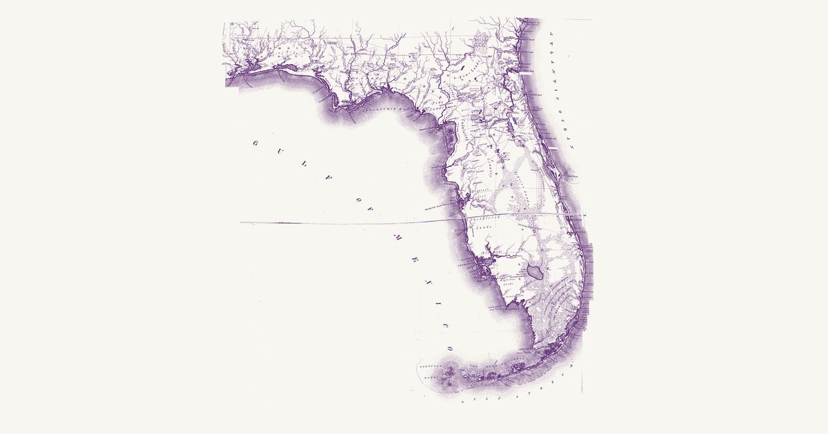
Preview of Florida, Vignoles 1823

Florida, Vignoles 1823

Charles Vignoles, 1823 · about 31 km accuracy

Charles Vignoles’s map of the new Territory of Florida, engraved by H. S. Tanner and published in 1823, compiled, its notes say, from Vignoles’s own surveys of the Atlantic coast and, for the interior east of the Suwannee, from sketches, Georgia and Florida settlers for the north of the peninsula and “the accounts of the Chief Indians” for its south and west, confirmed by resident pilots and fishermen. It is a map of Seminole and Miccosukee country two years after the cession: Mikasuki, Talahassee, Tepkegalga and Fowl Town in the hills of Middle Florida; Anacheela and Tocktochla toward the Apalachicola, with Indian villages along its east bank; Suwanee Old Town and Vacasausa on the lower Suwannee; Witamky, Sitaky’s Town and Opilacloy below the Alachua savanna and Micanopy; and Long Swamp, Okihamky, Pilaklikaha, Chicuchaty and Hitchipucksasy in the country between the Ocklawaha and Tampa Bay. Two routes are lettered as Indian: an “Old Indian path grown up”, dashed from the Indian Ferry at Volusia on the St Johns west to Paynes Old Landing on the Ocklawaha, and the dotted “Track of the Indian Hunters across the Peninsula”, from the Hillsborough above Tampa Bay southeast across the unexplored interior to the coast at Jupiter Inlet. The Spanish land grants — Arredondo’s, Miranda’s, the Forbes purchase — are boxed in dotted lines. The title, the scales and the notes are not shown.

Source: Library of Congress · Rights: public domain

Open in the map

Preview of Creek and Cherokee Georgia, 1813

Creek and Cherokee Georgia, 1813

Daniel Sturges, 1813 · about 25 km accuracy

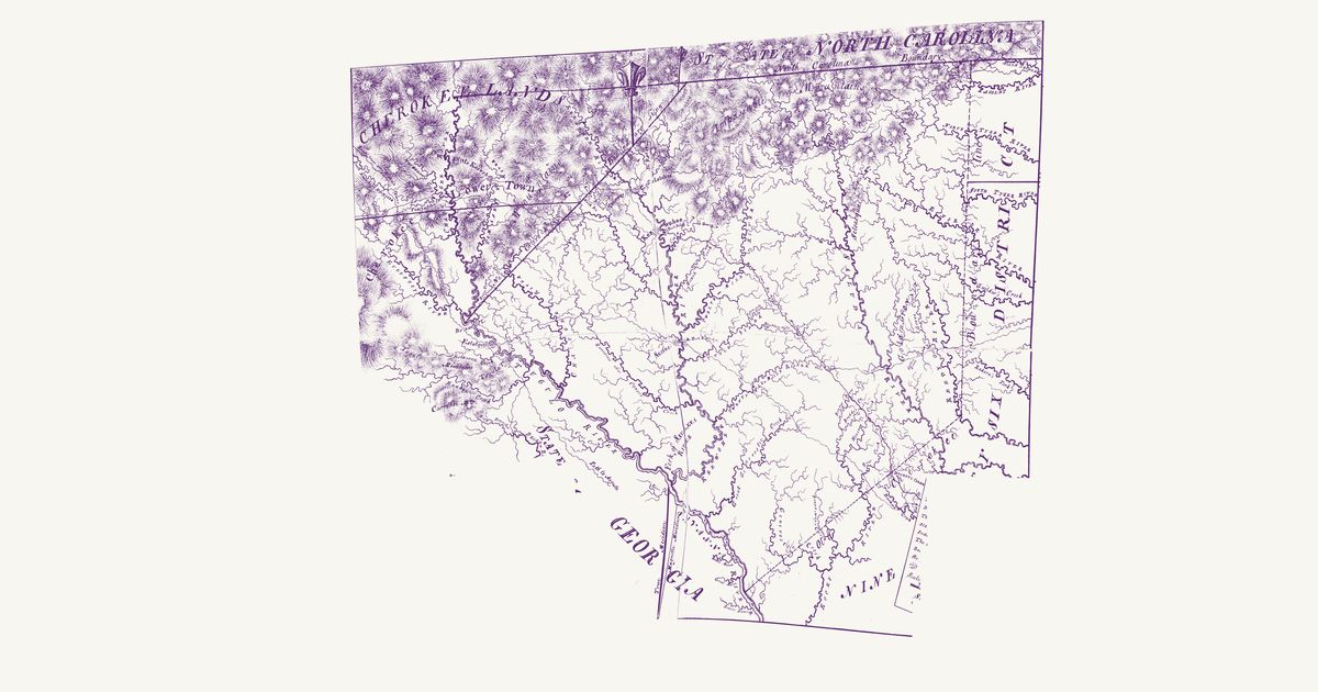
Daniel Sturges’s manuscript map of the part of Georgia still held by the Muscogee (Creek) and Cherokee nations, drawn at the request of General Thomas Pinckney about 1813 and kept with the Chief of Engineers’ maps. It runs from the Tennessee line through the Cherokee country — the Coosa, Oostanaula, Etowah and upper Chattahoochee, with Vann’s, Oostanaula, Pine Log, Chota and Standing Peach Tree — south through the Creek country between the Chattahoochee, the Flint and the Ocmulgee to the Florida line, and east across the Altamaha and the Satilla to the Okefenokee; the settled counties stand along its eastern edge. The Muscogee (Creek) Lower Towns line the Chattahoochee — Coweta, Kusseta, Coweta Tallahassee, Uchee, Chiaha, Hitchiti, Oconee and Eufaula — with Okfuskenene, Okfuskoochee and Tallahassee above them and Padjeeligau and Hitchetooche on the Flint, and the creeks are named with their widths in feet. Dotted paths join the towns: from Okfuskenene east to the Seven Islands of the Ocmulgee, from Kusseta north-east by Padjeeligau to the Ocmulgee, and from Kusseta to the trader Timothy Barnard’s on the Flint, from where “Barnards Path” runs south-east to a fork, one branch “to Beards Bluff” on the Altamaha and the other “to St Mary’s”, with a branch “to St Augustine”. The sheet is pieced together and holed, and the title and the scale are not shown.

Source: Wikimedia Commons · Rights: public domain
Open in the map

Preview of Georgia, 1779 (Universal Magazine)

Georgia, 1779 (Universal Magazine)

The Universal Magazine, 1779 · about 71 km accuracy

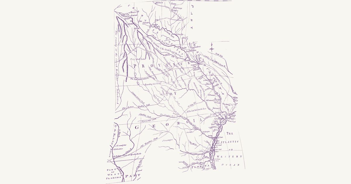
An unsigned engraving from the Universal Magazine of Knowledge and Pleasure (London, April 1779), published four months after the British took Savannah: the province from the Cherokee Lower Towns to the St. Marys and from the Savannah to the Flint, with the edges of South Carolina and the Floridas. Double lines mark the trading paths that tied Augusta to the Muscogee (Creek) and Cherokee towns — the Upper Path to Tugaloo, the Path from Oakfuskee, the Lower Trading Path toward the Lower Creek towns, and the Old Trading Path from the Apalachicola past the forks of the Altamaha to the Savannah — and shorter paths run from Keowee, Estatoe and Tugaloo toward the Carolina settlements. The map names the Cherokee country and the hunting grounds of the Cherokees and Muskogees, sets “the Country of the Creek Indians inhabited by the Muskohge Nation” along its western edge, and puts the Lower Creek towns of Okmulgee and Hitchiti on the river it calls the Great Flint. Dotted lines mark the province’s bounds. The Great Swamp (the Okefenokee) and its legendary island, drawn from report far west of its place, are not shown; nor is the title.

Source: Library of Congress · Rights: public domain

Open in the map

Preview of Gallatin's tribes of North America, 1836

Gallatin's tribes of North America, 1836

Hon. Albert Gallatin; published by the American Antiquarian Society, Pendleton's Lithography, 1836 · about 100 km accuracy

Albert Gallatin's founding map of American ethnology, published by the American Antiquarian Society with his Synopsis of the Indian Tribes: the homelands of the continent's nations tinted by language family — Algonkin-Lenape, Iroquois, Cherokee, Muskogee, Choctaw-Chickasaw, Sioux, Blackfeet, Pawnee, Athapasca, Eskimaux — as of about 1600 along the Atlantic and about 1800 westward. A continental baseline: every state shows its nations here.

Source: Library of Congress, Geography and Map Division · Rights: public domain

Open in the map

Preview of Cherokee cession lands, 1777

Cherokee cession lands, 1777

Unknown, 1777 · about 11 km accuracy

An anonymous manuscript map of the lands the Cherokees ceded to South Carolina at the congress held at DeWitt’s Corner in May 1777, “containing about 1,697,700 acres”: the Lower Cherokee country of the upcountry, today’s Oconee, Pickens, Anderson and Greenville counties, with the edge of Georgia across the Tugaloo and the mountains up to the North Carolina line. A yellow broken line is the old boundary between the Cherokees and the province, run in 1766 from the Savannah north-east past Deuett’s Corner to the Reedy River and due north to the North Carolina line; a red broken line, lettered “Boundary Line”, is the new one, from the meeting of the Chattooga and the Tallulah north-east over Oconee Mountain to the North Carolina line. The land between the two is what the Cherokees gave up. The Lower Towns carry the map’s sign for Indian towns — Keowee, Little Keowee, Toxaway and Qualatchee on the Keowee, Seneca where the Twelve Mile comes in, Tomassee, and Brass Town, Estatoe and Tugaloo on the Tugaloo — though South Carolina’s militia had burned most of them in the summer of 1776. The legend keys roads and paths with one dotted line; three are lettered: the “Road from over the Hills Towns”, coming down from the Overhill Cherokee towns by the heads of the Hiwassee to Estatoe on the Tugaloo; the “Road from Keewohee to Ninety Six”, the Cherokee path from Keowee past the Twelve, Eighteen and Twenty-three Mile creeks to Deuett’s Corner; and the “Path to Augusta”, south from Tugaloo. Not shown: the title cartouche and the explanation.

Source: Library of Congress · Rights: public domain

Open in the map

Preview of De Brahm’s South Carolina, 1757

De Brahm’s South Carolina, 1757

William De Brahm, 1757 · about 21 km accuracy

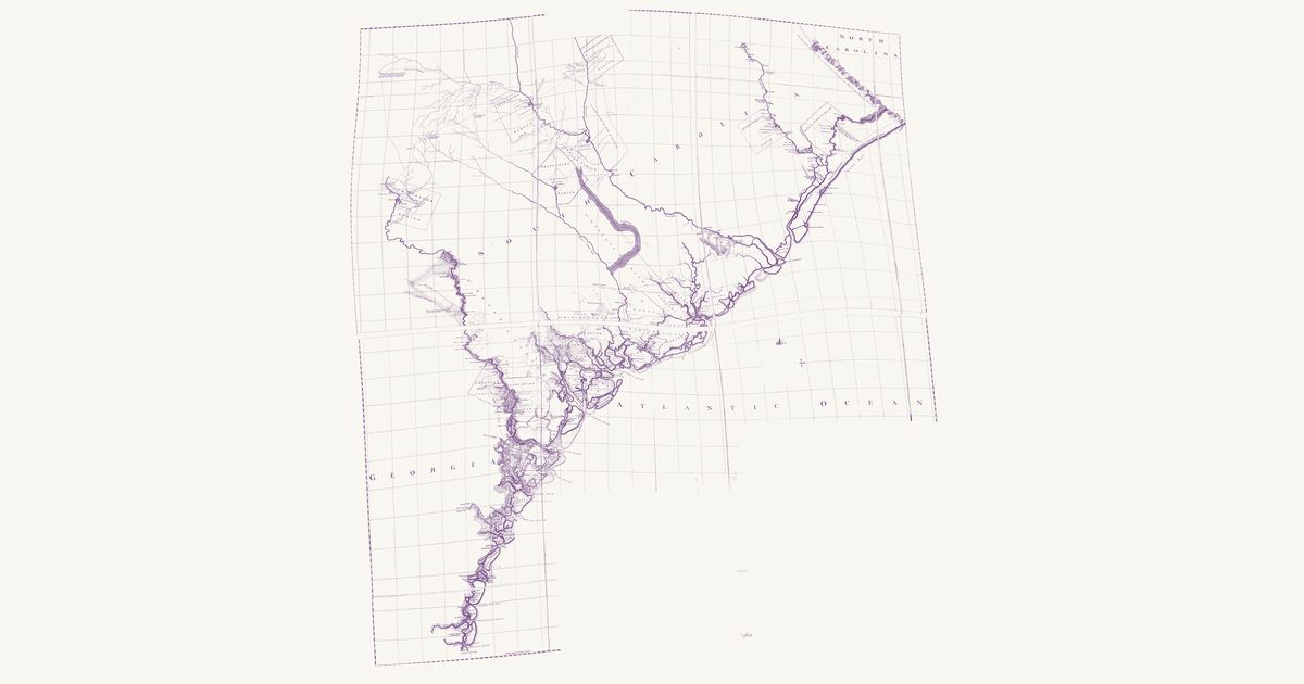
William De Brahm’s map of South Carolina and the Georgia coast, engraved and published by Thomas Jefferys in London in October 1757 from the surveys of De Brahm, William Bull, Captain Gascoigne and Hugh Bryan: the whole coast from the Little River to Amelia Island, with its islands, inlets, rivers and creeks, the parishes and townships, roads, bridges and ferries, and the proprietors’ lands keyed to the tables. Beyond the townships it marks the Catawba Nation on the Catawba River, the “Chikesaw Camp” of the Chickasaw who lived by Fort Augusta, the old town of the Pee Dee, and Ninety Six, “so called from the distance of this Place to Keowee, the nearest of the Cherokee Towns being 96 computed Miles”. Three dotted Native paths are lettered: the “Path from the Cherokees”, the Cherokees’ road to Charles Town, from Ninety Six east across the creeks south of the Saluda to Saxe Gotha and the Congarees; a “Path to the Cattawba” north-east from the Congarees; and a “Path to the Catawba” north from the mouth of Pine Tree Creek at Fredericksburg (Camden), toward the Catawba towns. The Catawba Nation itself, squeezed into the top of the sheet some 70 km south of where the Catawba towns stood, is not shown; nor are the tables of proprietors, the key and the cartouche.

Source: Library of Congress · Rights: public domain

Open in the map

Preview of Path to the Cherokees, 1730

Path to the Cherokees, 1730

George Hunter, 1730 · about 42 km accuracy

George Hunter’s 1730 map of the Cherokee Path from Charles Town by the Congarees and Ninety Six to Keowee and the Lower, Middle and Overhill towns, with the traders’ names for each creek and the miles between them.

Source: Internet Archive · Rights: public domain

Open in the map

Preview of North and South Carolina, 1775

North and South Carolina, 1775

Henry Mouzon and others, 1775 · about 29 km accuracy

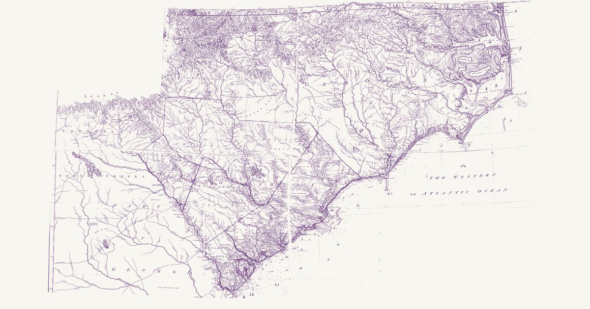
Henry Mouzon’s map of the two Carolinas and their Indian frontier: the roads and Indian paths, the Catawba Nation’s 144,000 acres, the Cherokee Lower Towns, the trading path to the Creeks, and the townships and parishes of the settled country.

Source: Library of Congress · Rights: public domain

Open in the map

Preview of Southeastern trail system, 1928

Southeastern trail system, 1928

William Edward Myer, 1928 · about 10 km accuracy

William E. Myer's preliminary map of the trail network of the colonial-era Southeast, compiled for the Bureau of American Ethnology from early maps, land records and field work: over 125 numbered trails, historic towns and sites from the Ohio River to the Gulf and from the Mississippi to the Atlantic. Georeferenced to thirty modern city locations.

Source: 42nd Annual Report of the Bureau of American Ethnology (Smithsonian Institution, GPO); scan via Yale Beinecke Library / Wikimedia Commons · Rights: public domain
Open in the map

Preview of Cumberland & Franklin, 1853

Cumberland & Franklin, 1853

J. G. M. Ramsey (engraved by W. Keenan), 1853 · about 16 km accuracy

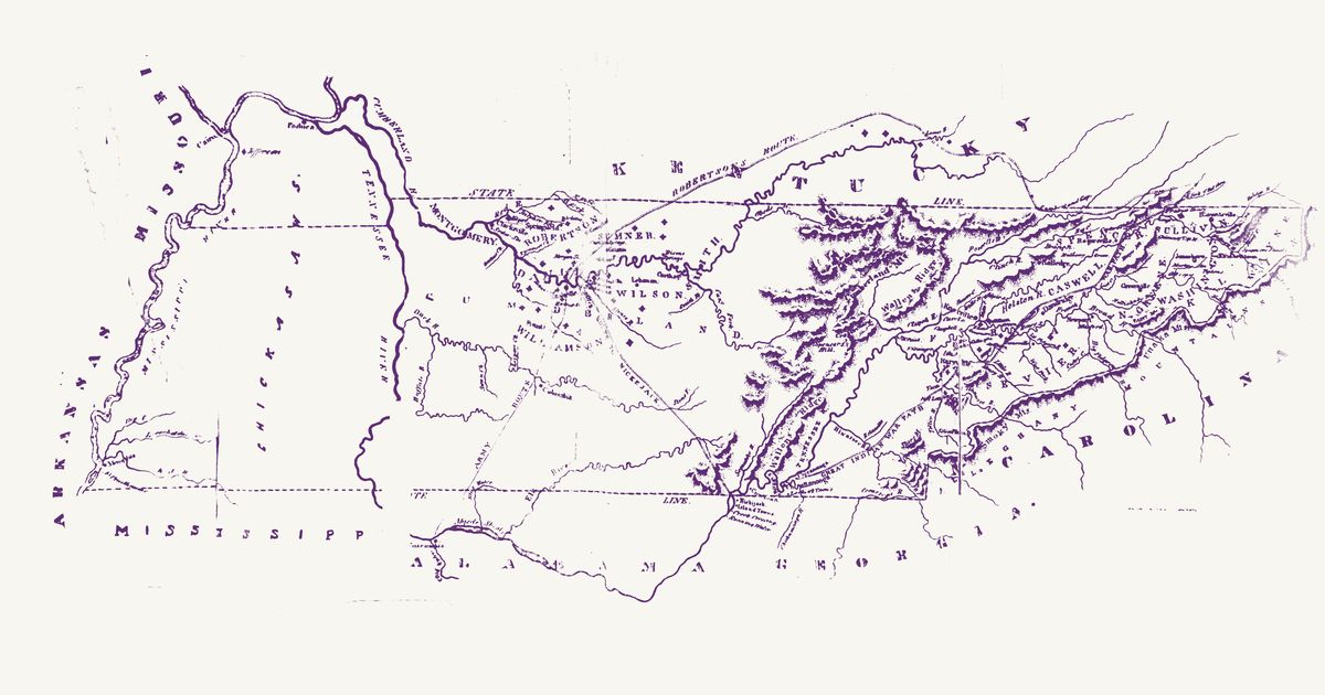
J. G. M. Ramsey’s map of the Cumberland settlements and the State of Franklin, engraved by W. Keenan of Charleston for The Annals of Tennessee to the End of the Eighteenth Century (1853): Tennessee from the Mississippi to the Unaka and Smoky mountains, with the edges of Kentucky, Virginia, North Carolina, Georgia and Alabama, as it was in the 1780s and 1790s — the counties of the Cumberland district and of the short-lived State of Franklin, the towns and stations, and the routes of the time. Ramsey letters the “Great Indian War Path” — the Great Indian Warpath, the north–south route through the Valley used by the Cherokee, Shawnee, Haudenosaunee and others — from Chickamauga past the Hiwassee and the mouth of the Tellico to Maryville, and over the French Broad and the Holston to the Long Island of the Holston. He marks the Chickamauga Cherokee towns on the Tennessee below Lookout Mountain (Chickamauga, Crow Town, Nickajack, the Island Towns and Running Water) and letters “Chickasaws” across West Tennessee. Robertson’s route to the Cumberland, the route of the 1794 expedition to Nickajack and an “Army Route” south to the Tennessee at Tuscumbia are drawn too. The title, and a dark printing flaw over the Tennessee River at the Mississippi line, are not shown.

Source: Internet Archive · Rights: public domain

Open in the map

Preview of Cherokee and Creek country, c. 1814

Cherokee and Creek country, c. 1814

John Melish, 1814 · about 41 km accuracy

John Melish’s map, from a War Department drawing, of the Cherokee and Creek country at the time of the Creek War: the Upper and Lower Creek towns on the Coosa, Tallapoosa and Chattahoochee, the Cherokee towns, the Federal Road and General Jackson’s route of 1813–14.

Source: Digital Library of Georgia · Rights: public domain

Open in the map

Preview of Southern Indian trade paths, c. 1770

Southern Indian trade paths, c. 1770

Joseph Purcell and J. R. Swanton, 1922 · about 63 km accuracy

The trading paths linking the Cherokee, Creek, Choctaw and Chickasaw towns, from John Stuart’s Southern Indian District map (Joseph Purcell, c. 1770) as redrawn for John R. Swanton in 1922, with the numbered towns of each nation.

Source: a CONTENTdm library collection · Rights: public domain

Open in the map

Preview of Choctaw, Chickasaw and Creek, 1773

Choctaw, Chickasaw and Creek, 1773

Bernard Romans (Taitt, Gauld), 1773 · about 62 km accuracy

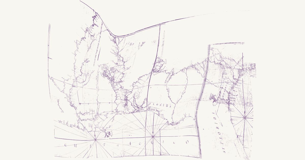
Bernard Romans’s manuscript map of about 1773, compiled for John Stuart, Superintendent of Indian Affairs for the Southern District, for General Gage: West Florida from the Mississippi to the Apalachicola, with Georgia, part of East Florida and the edge of South Carolina, and the Choctaw, Chickasaw and Muscogee (Creek) nations. The Choctaw towns are numbered by party — the Eastern Party, Oypatoocoola, the West Party (Oocolofalaya) and the Six Villages — and keyed in a list beside the Chickasaw villages; the Upper Creek towns are named along the Coosa and the Tallapoosa and the Lower Creek towns along the Chattahoochee. Dotted paths join the Choctaw towns to Fort Tombecbe on the Tombigbee, lead from the Koasati (Coosada) town there toward the Creek Nation, run from Natchez to the Choctaws and link the Upper Creek towns. The road from Pensacola to the Upper Creek Nation and on through the Lower Creek towns to Augusta — the traders’ path, laid down from David Taitt’s courses — is the map’s subject, and its table gives the computed miles along it: Tuckabatchee 243½ from Pensacola, Augusta 541½, Charlestown 715. The coast from the mouths of the Mississippi to Apalache is George Gauld’s. Red lines mark the boundaries laid out between the nations and the provinces. Built from the Hargrett Library’s linen photocopy, with faint lettering read on the Clements Library’s colour original; the table of distances, the remarks, the title cartouche and the lists of villages are not shown.

Source: Hargrett Library, University of Georgia, via the Digital Library of Georgia · Rights: public domain

Open in the map

Preview of Cherokee cessions, 1884 (Royce)

Cherokee cessions, 1884 (Royce)

Charles C. Royce (Bureau of Ethnology), 1884 · about 12 km accuracy

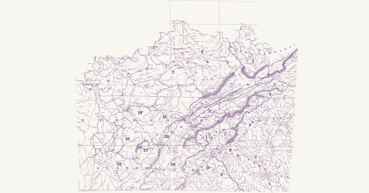
Charles C. Royce’s map of the former territorial limits of the Cherokee Nation, plate VIII of the Bureau of Ethnology’s Fifth Annual Report (dated 1884, published 1887): the country from the Ohio River to central Alabama and Georgia and from the lower Tennessee to the Carolina piedmont, on a base of the towns, rivers and graticule of the 1880s, coloured and numbered to show each tract the Cherokee (Aniyvwiya) ceded to the colonies and to the United States, from the treaty of 1721 with South Carolina to the treaty of New Echota in 1835. Over it Royce letters the old Cherokee and Creek towns and villages, the forts and stations of the frontier, and several old routes: the Great Indian War Path down the valley of East Tennessee, the Old Indian Path between Coosa and Tugeloo across north Georgia, the Old Creek Path west from Rome, the High Tower Path, the Old Cherokee Path to Virginia, the Old Cherokee Trading Path by Ninety Six to the Congarees, the Cherokee Traders’ Path to Yorkville, the Old Path from Tugaloo to Fort Charlotte and the Old Trading Path to the Catawba and Cherokee Nations from Virginia. The title and the numbered table of treaties are not shown. The site’s cessions layer is drawn from Royce’s cession areas; this overlay is the map itself.

Source: Library of Congress · Rights: public domain
Open in the map

What the 1928 map shows

William E. Myer compiled the Bureau of American Ethnology’s trail map of the colonial-era Southeast from early maps, land grants and field work — over 125 numbered trails. The Lower Creek trading path through Ocmulgee, the Cherokee towns of New Echota and Etowah, and the routes to the Chattahoochee, from Myer’s 1928 BAE map.

Reading the overlay

At the plate’s small scale a drawn trail is a corridor several kilometres wide: read it as which valley and which gap, not which ridge. Switch to the scan layer to read Myer’s own lettering and trail numbers.

Talk about Georgia

Discussion board for GA

Start a thread All discussions

Know Georgia? Join free to add field notes, fix where a place sits on the map, and help find more maps.Join free

Sources from readers

Know a county history, a survey record or an article that bears on this? Add a source — it’s credited to you.

Advertisement