Iowa: Native trails and villages

The Sac and Fox, Ioway and Ho-Chunk countries, from Nicollet's 1843 map of the upper Mississippi basin.

Open full-screen map

Advertisement

Historic maps for Iowa

Preview of Dakota Territory, 1878

Dakota Territory, 1878

Department of Dakota (Gen. A. H. Terry), 1878 · about 25 km accuracy

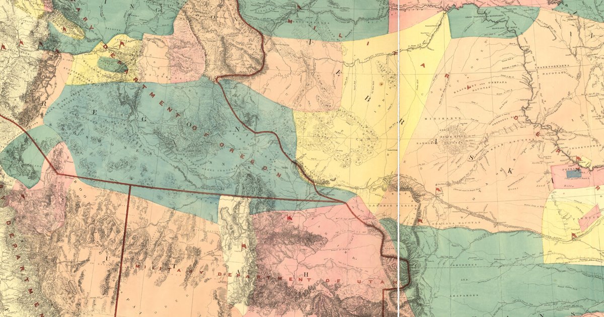
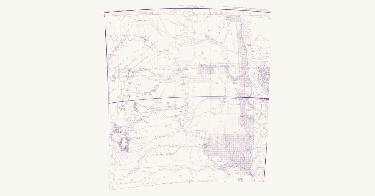
The Army’s 1878 map of Dakota Territory: the Indian trails and military roads between the Missouri River forts, the Great Sioux Reservation of the 1868 treaty, the Black Hills, and the lands of the Mandan, Hidatsa and Arikara, the Sisseton and Wahpeton, and the Yankton.

Source: Library of Congress · Rights: public domain
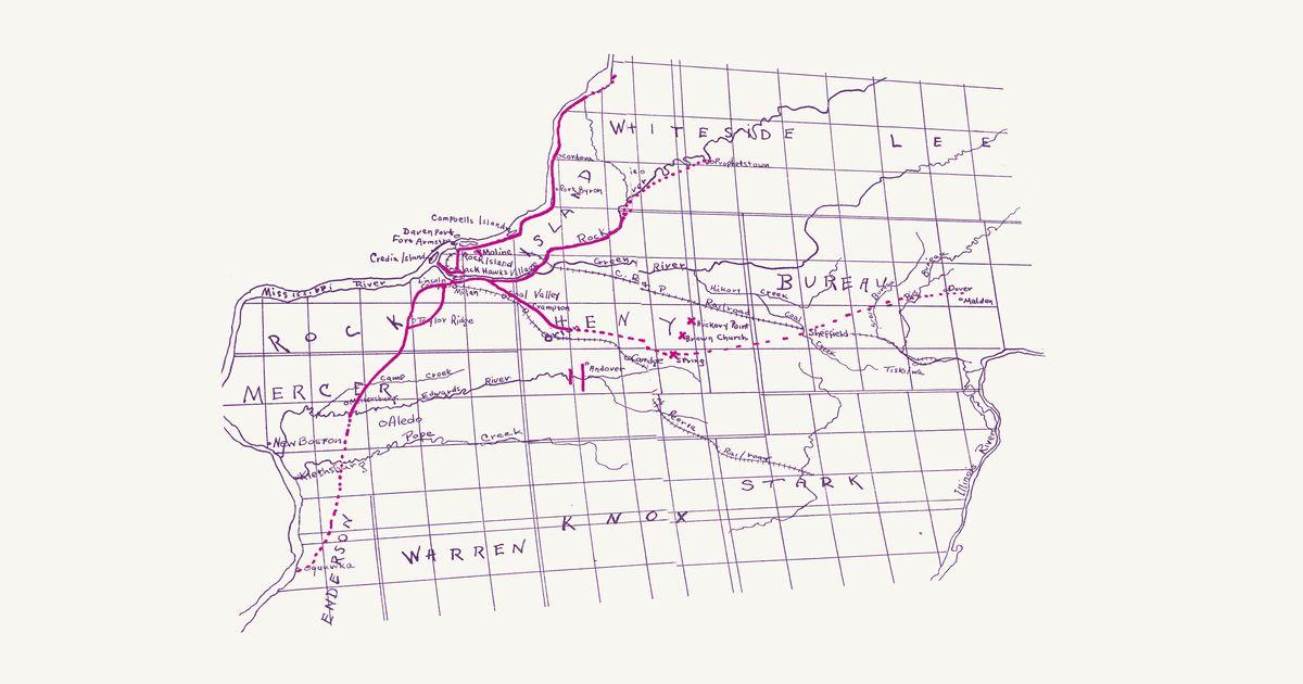
Open in the map

Preview of Black Hawk's village trails, 1921

Black Hawk's village trails, 1921

John H. Hauberg, 1921 · about 6 km accuracy

John H. Hauberg’s map of the Sauk and Meskwaki trails radiating from Saukenuk, Black Hawk’s village at the mouth of the Rock River, in red over the township grid: up the Mississippi and the Rock, south to Oquawka, and east across Henry and Bureau counties toward the Illinois.

Source: Internet Archive · Rights: public domain

Open in the map

Preview of Kansas–Nebraska, 1855 (Gunnison)

Kansas–Nebraska, 1855 (Gunnison)

Gunnison, Beckwith and Egloffstein, 1855 · about 16 km accuracy

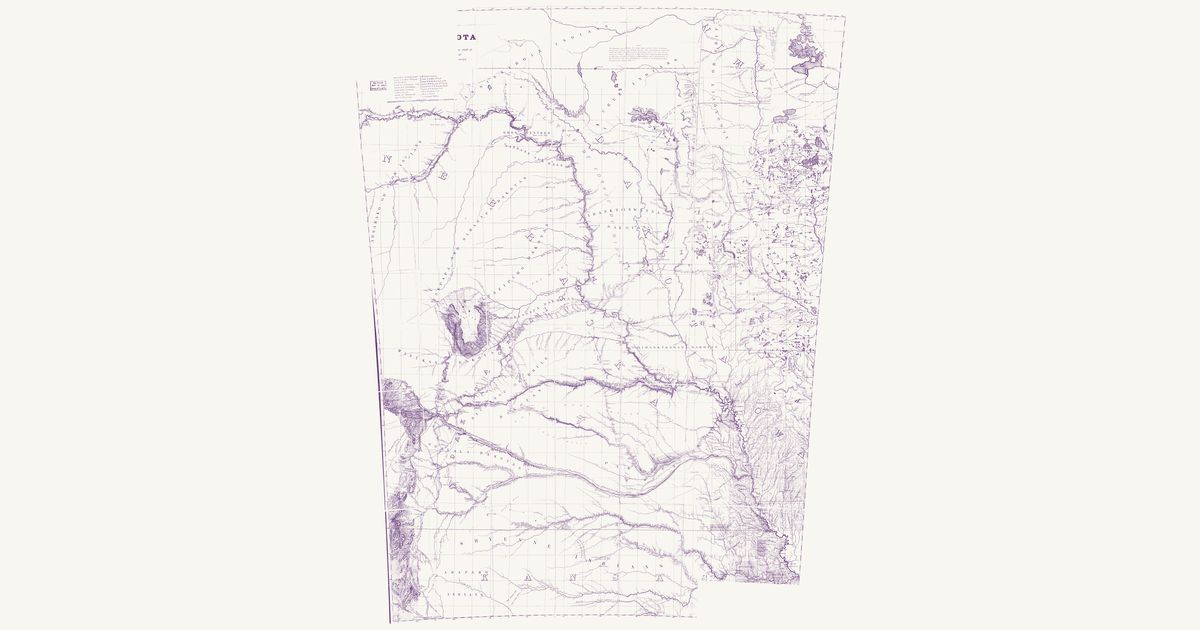
Map No. 2 of Captain J. W. Gunnison’s survey for a Pacific railroad near the 38th and 39th parallels, drawn in 1855 under Captain E. G. Beckwith by F. W. von Egloffstein from the 1853 field work (R. H. Kern, topographer) and engraved by Selmar Siebert for the published Reports (1859). It covers the plains of Kansas and Nebraska territories from the Missouri at Council Bluff, Omaha City and Nebraska City west to about 101°: Gunnison’s route with its numbered camps up the Kansas past Uniontown and Fort Riley, along the Smoky Hill Fork, across to Walnut Creek and up the Arkansas past Pawnee Fork and Fort Atkinson to the Santa Fé Crossing; the Santa Fe Trail, the emigrant road from Fort Leavenworth to the Platte, the road from Fort Kearny down the Little Blue, and the proposed railroad lines. “Pawnee Indians” is lettered across the country between the Platte and the Republican, and the lettered “Pawnee Trail” — the road of the Pawnee (Chaticks si Chaticks) south from their villages on the Platte and the Loup to the buffalo country of the Arkansas — runs from the south bank of the Platte below Fort Kearny across the Little Blue, the Pawnee or Republican Fork and the heads of Solomon’s and the Grand Saline forks to the Smoky Hill Fork, where the sheet stops drawing it. South of the Arkansas the sheet is blank.

Source: Library of Congress · Rights: public domain
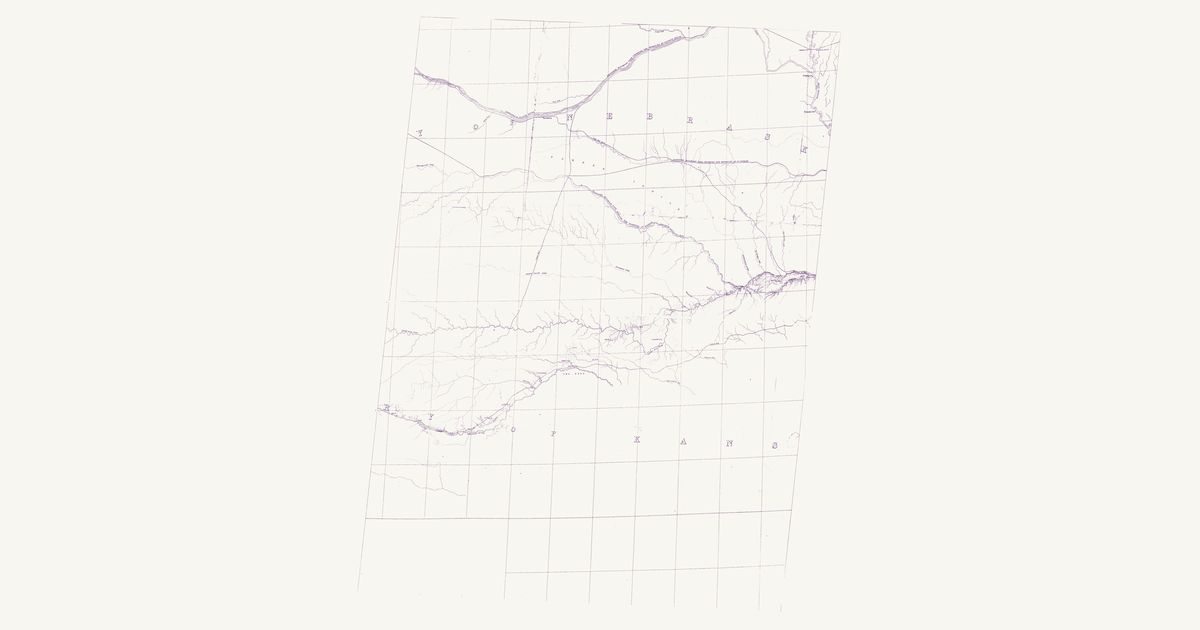
Open in the map

Preview of Gallatin's tribes of North America, 1836

Gallatin's tribes of North America, 1836

Hon. Albert Gallatin; published by the American Antiquarian Society, Pendleton's Lithography, 1836 · about 100 km accuracy

Albert Gallatin's founding map of American ethnology, published by the American Antiquarian Society with his Synopsis of the Indian Tribes: the homelands of the continent's nations tinted by language family — Algonkin-Lenape, Iroquois, Cherokee, Muskogee, Choctaw-Chickasaw, Sioux, Blackfeet, Pawnee, Athapasca, Eskimaux — as of about 1600 along the Atlantic and about 1800 westward. A continental baseline: every state shows its nations here.

Source: Library of Congress, Geography and Map Division · Rights: public domain

Open in the map

Preview of Nicollet's Upper Mississippi, 1843

Nicollet's Upper Mississippi, 1843

J. N. Nicollet, assisted by J. C. Frémont; U.S. War Department, Bureau of the Corps of Topographical Engineers, 1843 · about 25 km accuracy

Joseph Nicollet and John C. Frémont's War Department map of the upper Mississippi country — the most accurate map of its era, made with Dakota and Ojibwe guides. It names each nation's country — Mdewakanton, Wahpekute, Sisseton, Yankton, Yanktonai, Teton, Ojibwe, Ho-Chunk, Sac and Fox, Omaha, Otoe, Ioway, Ponca, Pawnee — with villages and hundreds of Dakota and Ojibwe place names: Mini Wakan, Kichi Gummi, Minsi Sagaigoning.

Source: Library of Congress, Geography and Map Division · Rights: public domain

Open in the map

Preview of Lands assigned to the removed nations, 1836

Lands assigned to the removed nations, 1836

United States Topographical Bureau, 1836 · about 20 km accuracy

The Topographical Bureau’s 1836 map of the lands assigned to the nations removed west of Arkansas and Missouri — Cherokee, Creek, Seminole, Choctaw, Delaware, Shawnee, Kickapoo, Potawatomi, Ottawa, Peoria and Kaskaskia, Piankeshaw and Wea, Seneca and Quapaw — beside the country of the Osage, Kansa, Pawnee, Otoe, Omaha, Ioway and Sac and Fox, with tables of each nation’s numbers east and west of the Mississippi. It shows the Santa Fe Road and the Osage Road across the plains, and Forts Leavenworth, Gibson and Smith.

Source: Library of Congress · Rights: public domain

Open in the map

Preview of The Ohio country, 1778

The Ohio country, 1778

Thomas Hutchins, 1778 · about 52 km accuracy

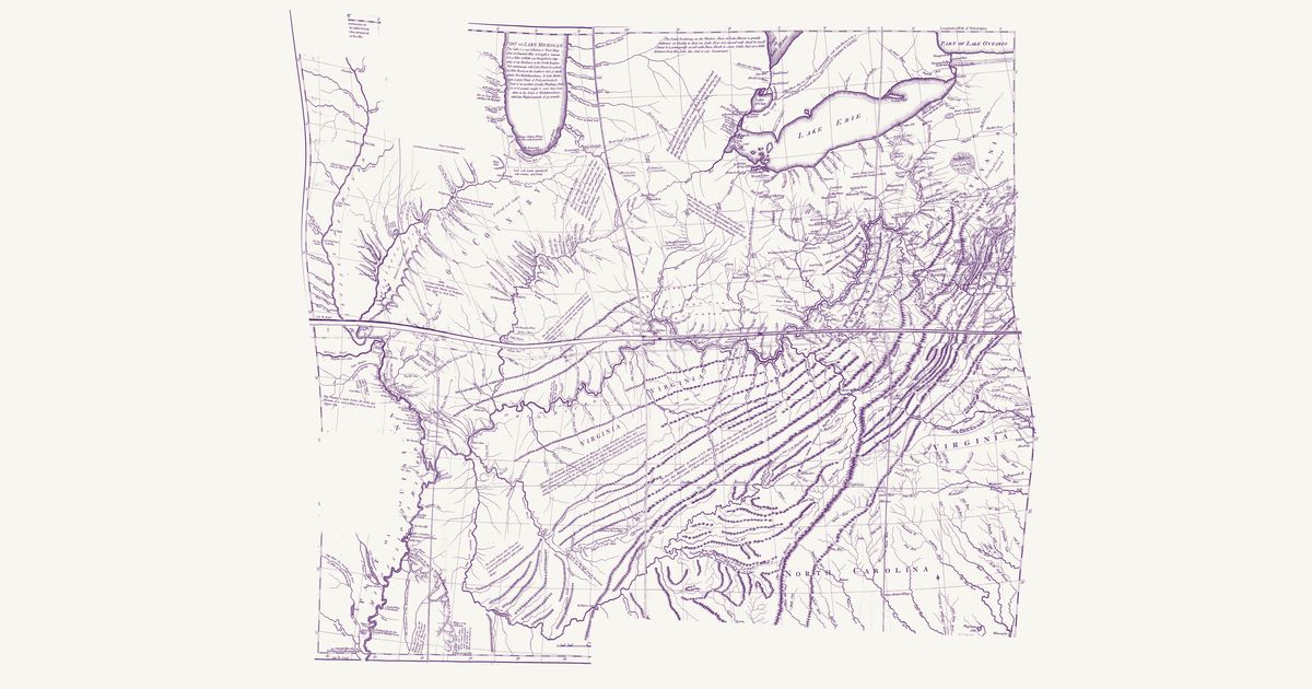
Thomas Hutchins’s map of the Ohio country: the Indian paths and towns between Fort Pitt, Lake Erie and the Scioto, the War Path through the Cumberland Gap to the Cuttawa (Kentucky) country, and the Illinois villages, with his notes on the land.

Source: Library of Congress · Rights: public domain
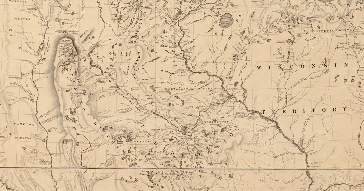
Open in the map

Preview of Warren's map of the West, 1857

Warren's map of the West, 1857

Lieut. G. K. Warren, Topographical Engineers, U.S. War Department, 1857 · about 50 km accuracy

Lieutenant G. K. Warren's master map of the West, compiled in the Office of Pacific Railroad Surveys from every reliable exploration to date: the named country of each nation — Dacotas, Sheyennes, Comanches, Shoshonees, Utahs, Navajoes, Apaches, Blackfeet, Crows, Nez Perces, Pawnees and many more — with villages, forts, and the explorers' and emigrant routes that followed Native trails.

Source: Library of Congress, Geography and Map Division · Rights: public domain

Open in the map

Preview of Nebraska and Dakota, 1857 (Warren)

Nebraska and Dakota, 1857 (Warren)

G. K. Warren, Topographical Engineers, 1857 · about 6 km accuracy

Gouverneur K. Warren’s military map of the northern plains: the lands of each Lakota, Dakota, Cheyenne, Arapaho, Pawnee and other nation as he understood them, the Indian trails and war roads, and the routes of the 1855–57 expeditions.

Source: Library of Congress · Rights: public domain
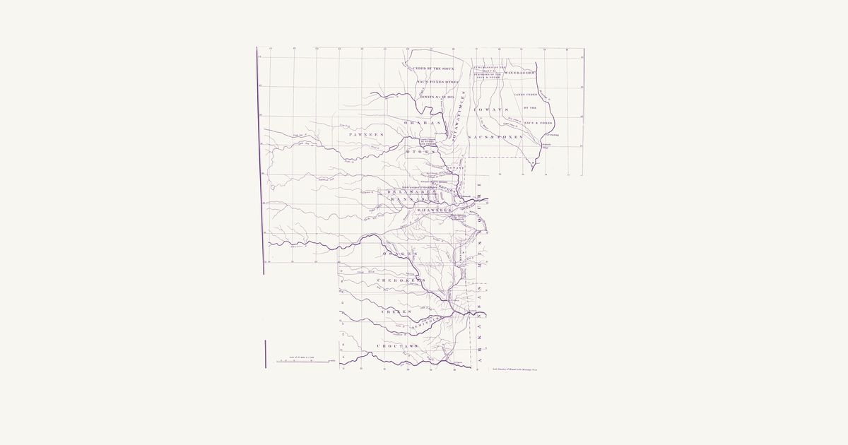
Open in the map

What the 1843 map shows

Joseph Nicollet mapped the upper Mississippi country in 1836–40 with Dakota and Ojibwe guides, and his War Department map records each nation’s country and hundreds of Dakota and Ojibwe place names — the most accurate map of the region for decades.

Reading the overlay

The southern sheet lands within about ten kilometres; the northern lake country nearer twenty-five. Switch to the scan layer to read the engraved names.

Talk about Iowa

Discussion board for IA

Start a thread All discussions

Know Iowa? Join free to add field notes, fix where a place sits on the map, and help find more maps.Join free

Sources from readers

Know a county history, a survey record or an article that bears on this? Add a source — it’s credited to you.

Advertisement