Michigan: Native trails and villages

The Three Fires — Ojibwe, Odawa and Potawatomi — on Gallatin's 1836 map; Hinsdale's 1931 trail atlas becomes public domain on January 1, 2027 and is next on the roadmap.

Open full-screen map

Advertisement

Historic maps for Michigan

Preview of Surveyed Michigan, 1836 (Farmer)

Surveyed Michigan, 1836 (Farmer)

John Farmer, 1836 · about 4 km accuracy

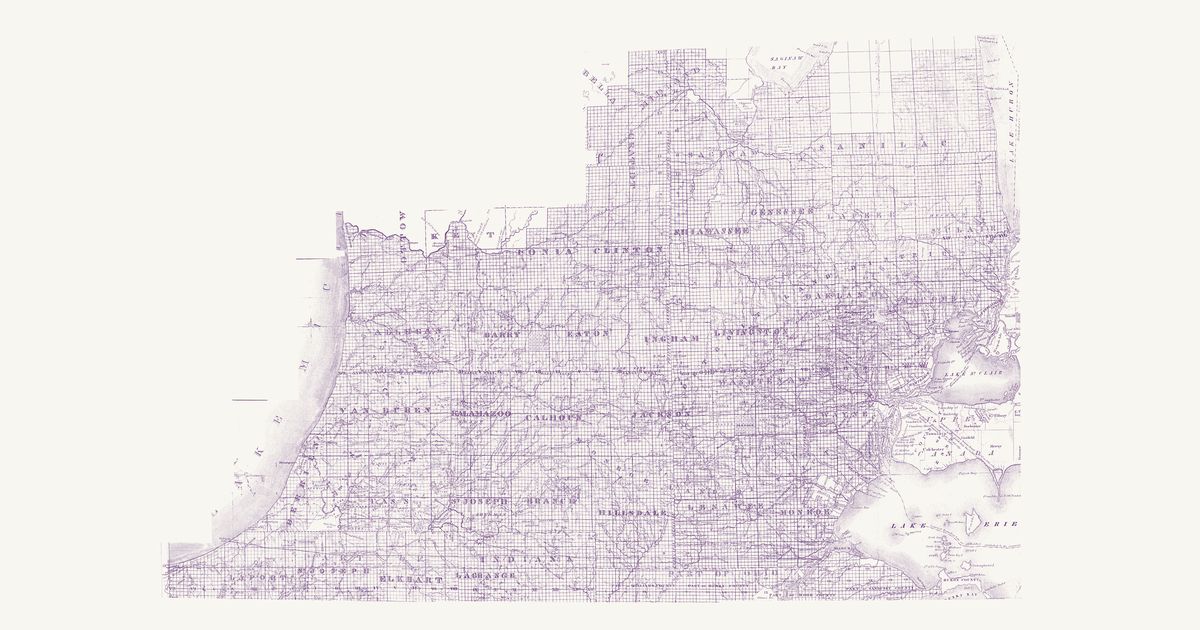
John Farmer’s map of the surveyed part of Michigan Territory, engraved and published by J. H. Colton in New York in 1836: the lower peninsula from Lake Michigan to the Detroit and St. Clair rivers and north to Saginaw, laid out in its counties, townships and sections, with the strip of northern Ohio and Indiana below the disputed state lines (Harris’s line of 1817 and the line of 1818 both drawn). It shows the towns, mills and post offices of the land rush and its roads — the Chicago Road, the Territorial and Saginaw roads, the U.S. Turnpike to the Maumee and the Erie and Kalamazoo Rail Road — and the Anishinaabe (Ojibwe, Odawa, Potawatomi) and Wyandot country they crossed: Indian villages on the St. Joseph, the Coldwater, the Thornapple, the Flint and the Grand, the reserves kept in the treaties of 1807–1821 (the Wyandot reserve at Brownstown, the reserves on the Cass and Flint above Saginaw, the Indian reserve on the Coldwater, the Ottawa reserve on the Maumee), the “Indian Boundary Line” and the “Indian Country” north of the Grand River, and, in fine dots, the trails — the “Chicago Trail” beside the Chicago Road, “St. Joseph’s Trail” across Jackson and Washtenaw, the “Washtenaw Trail”, the “Hog R. Trail” and an “Indn Trail” among others. The unsurveyed country north of the Grand River, sketched too freely to place, is not shown; nor are the title and the insets of Mackinac, Green Bay and the lead mine district.

Source: Michigan State University Libraries · Rights: public domain
Open in the map

Preview of Surveyed Michigan, 1825 (Risdon)

Surveyed Michigan, 1825 (Risdon)

Orange Risdon, 1825 · about 3 km accuracy

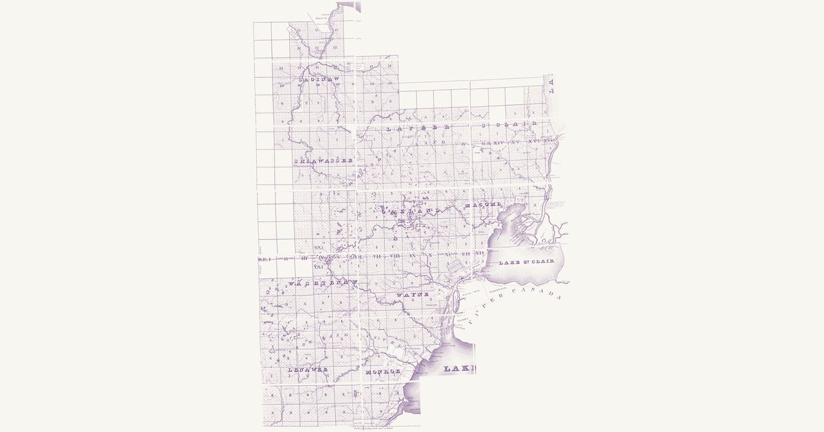
Orange Risdon’s map of the surveyed part of Michigan Territory, engraved by Rawdon, Clark & Co. at Albany in 1825: the country of the first land sales, from the Detroit and St. Clair rivers west to the Principal Meridian and north to Saginaw, laid out in its counties, townships and sections, with the strip south to the line it marks as the northern boundary of Ohio (Port Lawrence, now Toledo, north of it) and the Upper Canada shore from Sandwich to Amherstburg. It shows the young towns — Detroit, Monroe, Pontiac, Mt. Clemens, Ann Arbor, Ypsilanti, Dexter, Tecumseh, Palmer (St. Clair) and Saginaw — with their mills, inns and roads, among them the new “United States Road” toward Chicago, and the Anishinaabe (Ojibwe, Odawa, Potawatomi) and Wyandot country they were laid over: Indian villages on the Saginaw, the Cass, the Flint and the Raisin, at Brownstown and on Lake St. Clair, and the reserves kept in the treaties of 1807–1819 with their acreages — the Wyandot reserve at Brownstown, the Macon reserve on the Raisin, Tonquish’s and the “Sequinsackin Res.” on the Rouge, Maconce’s on Lake St. Clair, and the Saginaw reserves on the Saginaw, Tittabawassee, Cass, Flint and Shiawassee. In fine dots, keyed “Indian Trails”, it draws a web of trails, none of them named: from Saginaw up the Flint and the Shiawassee, across Livingston and Oakland to the lakes and on to Detroit, west from Ann Arbor toward the St. Joseph country, and from Saline by Tecumseh west — the Detroit–Chicago trail. The unsurveyed Thumb and Saginaw Bay, sketched too freely to place, are not shown; nor are the title, the key, and Lake Erie with its islands.

Source: Michigan State University Libraries · Rights: public domain
Open in the map

Preview of Washtenaw County trails, c. 1830

Washtenaw County trails, c. 1830

Unknown, 1830 · about 3 km accuracy

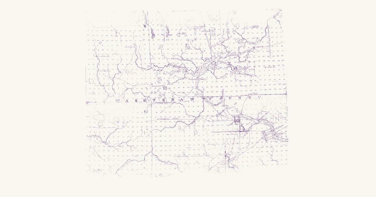
An anonymous manuscript map of Washtenaw County, Michigan Territory, drawn about 1830 — it shows Ypsilanti, laid out in 1825, and bears the pencilled notes “from Eliz. Ferrand” and “before 1833”: the townships and numbered sections from the Principal Meridian east to the Oakland and Wayne county lines and from two townships north of the base line south into Town 4 South, with the lakes, the Huron, the Raisin and the Saline and their creeks, Ann Arbor, Ypsilanti, Dexter and Woodruff’s Grove, the mills and the roads of the land rush, and a yellow wash over many quarter sections around the towns. In single red-brown lines, set apart from the double-line roads, it draws and names the trails that crossed the Anishinaabe (Ojibwe, Odawa, Potawatomi) and Wyandot country there, though it nowhere calls them Indian: the “St Joseph’s Trail” west from Ann Arbor, the “Gd. R. Trail” west from near Dexter toward the Grand River, a second “Gd. R. Trail” west from Bass Lake on the Huron, the “Detroit Trail” southeast from Bass Lake toward Detroit, the “Shiawassee Trail” south past Crooked Lake to Bass Lake, and the “Walled Lake Trail” from Dexter past Prospect Hill and northeast toward Walled Lake in Oakland County. Not shown: the margins, the library’s stamp, and the torn foot of the sheet, where the southern part of Town 4 South is lost.

Source: Stephen S. Clark Library, University of Michigan · Rights: public domain

Open in the map

Preview of Gallatin's tribes of North America, 1836

Gallatin's tribes of North America, 1836

Hon. Albert Gallatin; published by the American Antiquarian Society, Pendleton's Lithography, 1836 · about 100 km accuracy

Albert Gallatin's founding map of American ethnology, published by the American Antiquarian Society with his Synopsis of the Indian Tribes: the homelands of the continent's nations tinted by language family — Algonkin-Lenape, Iroquois, Cherokee, Muskogee, Choctaw-Chickasaw, Sioux, Blackfeet, Pawnee, Athapasca, Eskimaux — as of about 1600 along the Atlantic and about 1800 westward. A continental baseline: every state shows its nations here.

Source: Library of Congress, Geography and Map Division · Rights: public domain

Open in the map

Preview of The Ohio country, 1778

The Ohio country, 1778

Thomas Hutchins, 1778 · about 52 km accuracy

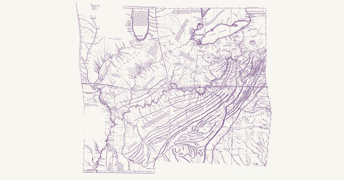
Thomas Hutchins’s map of the Ohio country: the Indian paths and towns between Fort Pitt, Lake Erie and the Scioto, the War Path through the Cumberland Gap to the Cuttawa (Kentucky) country, and the Illinois villages, with his notes on the land.

Source: Library of Congress · Rights: public domain

Open in the map

What the 1836 map shows

Albert Gallatin’s map — the founding map of American ethnology — tints each language family’s homelands: the Atlantic states as of about 1600, the west as of about 1800. It is the continental baseline; a dedicated state map replaces it as each state’s overlay is built.

Reading the overlay

At 1:18,000,000 read the tints as regions, not lines. The scan layer carries the color key.

Talk about Michigan

Discussion board for MI

Start a thread All discussions

Know Michigan? Join free to add field notes, fix where a place sits on the map, and help find more maps.Join free

Sources from readers

Know a county history, a survey record or an article that bears on this? Add a source — it’s credited to you.

Advertisement