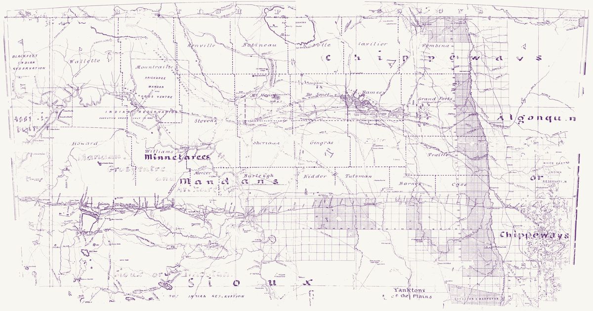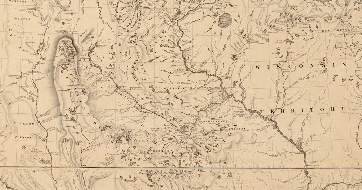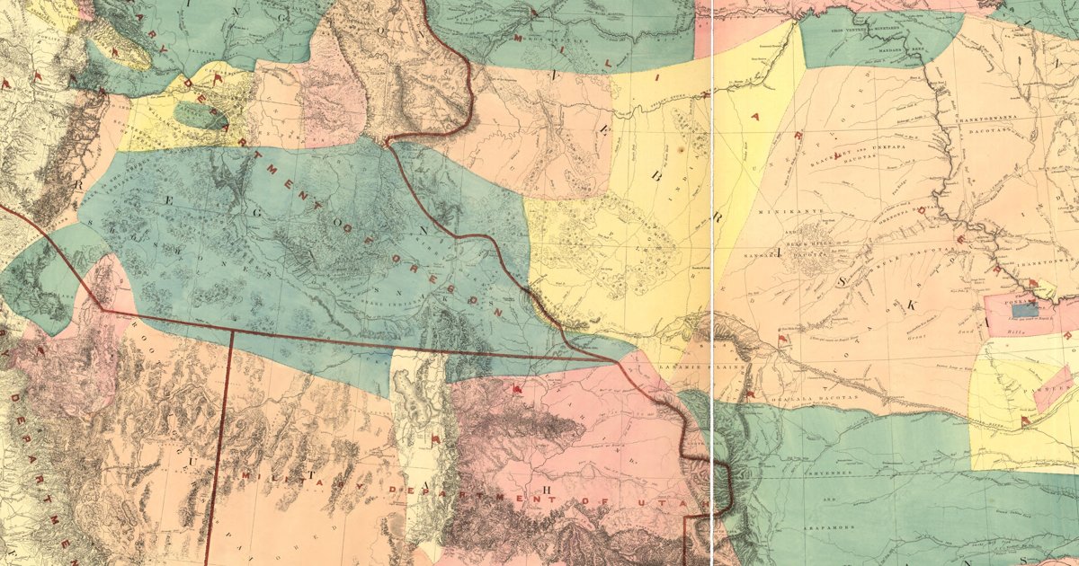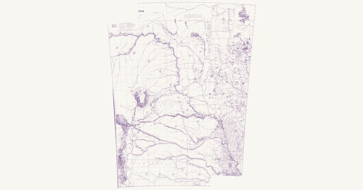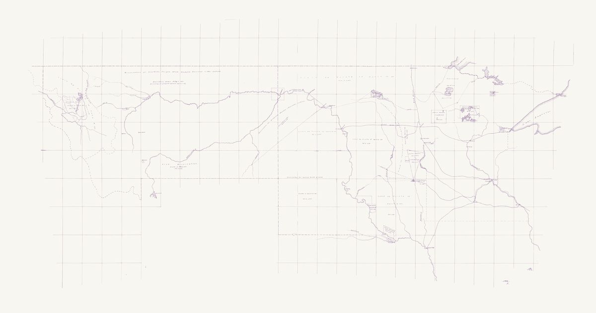
Dept. of Dakota nations, 1874
William Ludlow and E. W. Smith, 1874 · about 9 km accuracy
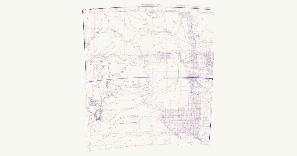
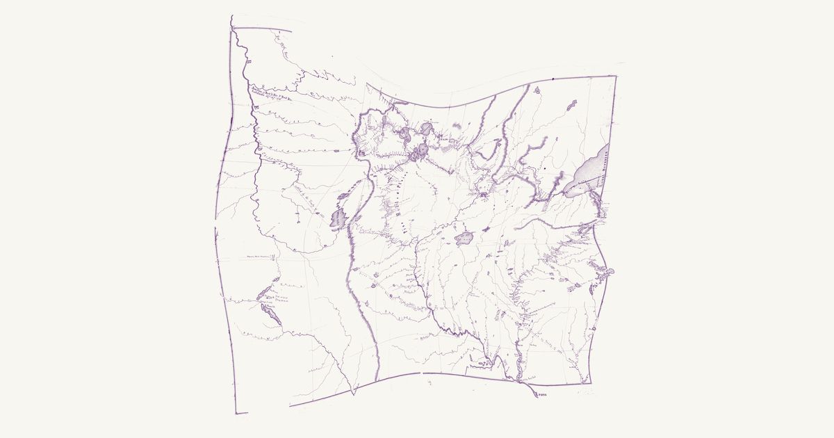
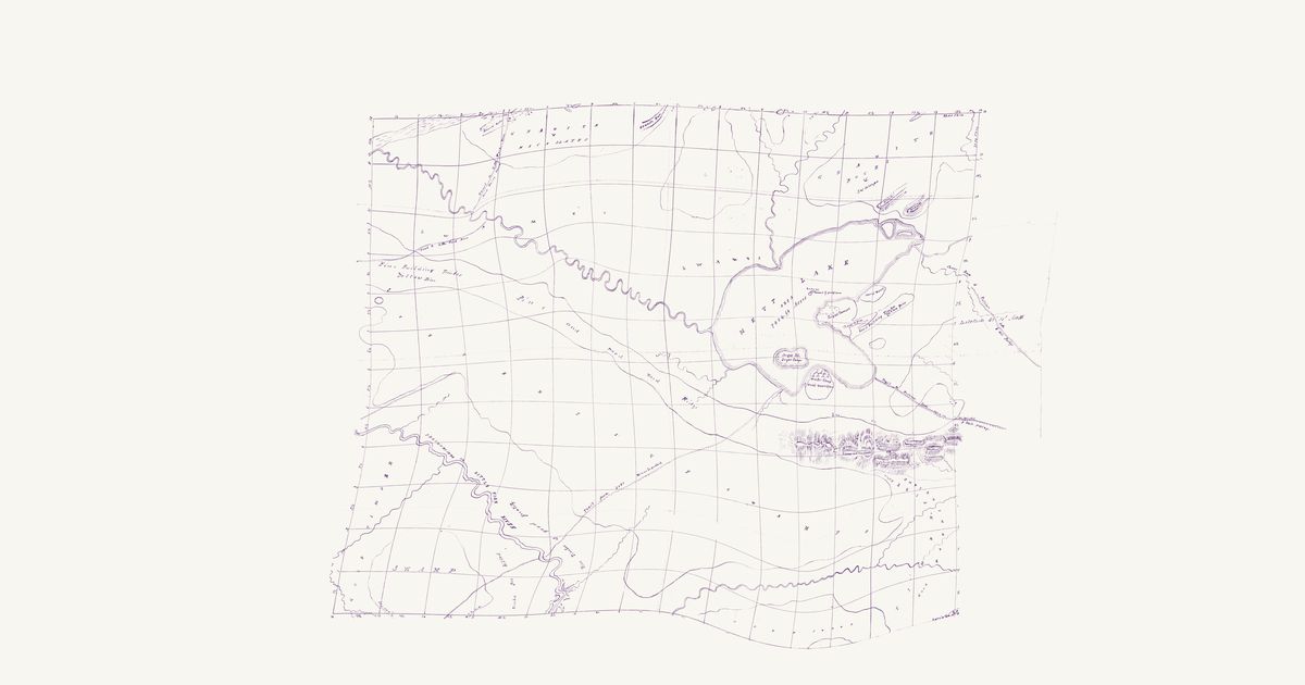
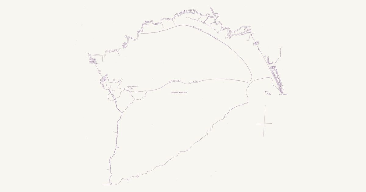
The Army’s skeleton map of the Department of Dakota — Minnesota and the territories of Dakota and Montana — “compiled and drawn in the Engineer’s office, Head Quarters Department of Dakota” in St. Paul under Captain William Ludlow, Corps of Engineers, “from information furnished by Capt. E. W. Smith, Aide-de-camp”, in April 1874: a pen-and-ink manuscript on a one-degree graticule, kept in the War Department’s map collection. Broad red lines bound each Indian reservation, lettered with the treaty, executive order or act that made it and its volume and page in the Statutes at Large, and pink washes mark the lands the map calls unceded. From west to east: the “Flathead Nation” reservation (treaty of July 16, 1855) and the country ceded by that treaty west of the Main Divide; the “Reservation for Gros-Ventre, Piegan, Blood, Blackfeet, River-Crow & other Indians” across northern Montana (executive order of July 5, 1873, “reduced by act of Congress approved April 15, 1874”); the “Crow Reservation” south of the Yellowstone (treaty of May 7, 1868); the “Reservation for Arickaree, Mandan & Gros-ventre Indians” between the Missouri, the Yellowstone and the Powder (executive order of April 12, 1870); the “Reservation for various bands of Sioux” west of the Missouri from the 46th parallel to the Nebraska line (treaty of April 29, 1868), with the country north and east of it lettered “Ceded by Treaty of April 29 1868”; the Brulé Reserve at the Big Bend (treaty of October 14, 1865), the Yankton Reservation (treaty of April 19, 1858) and the lands that treaty ceded, and the Ponca Reserve at the mouth of the Niobrara (treaty of March 10, 1865); the Sisseton and Wahpeton reservations at Devils Lake and Lake Traverse (treaty of February 19, 1867), the Coteau lands “ceded by agreement” confirmed by the act approved February 14, 1873, a pink “Unceded territory” between the James River and Lake Kampeska, and the lands ceded by the treaty of July 23, 1851; and in Minnesota the Chippewa r
Source: National Archives · Rights: public domain