North Dakota: Native trails and villages

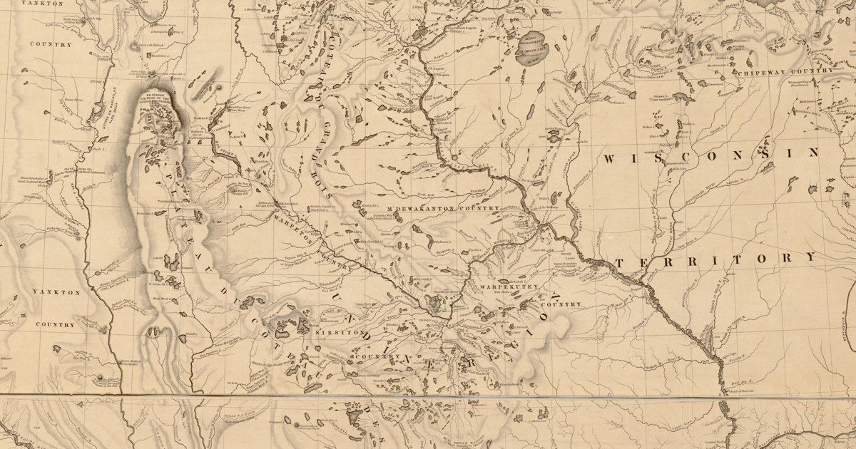
The Yanktonai country and Mini Wakan — Devils Lake — from Nicollet's 1843 map, made with Dakota guides, dense with Dakota names.

Open full-screen map

Advertisement

Historic maps for North Dakota

Preview of Dept. of Dakota nations, 1874

Dept. of Dakota nations, 1874

William Ludlow and E. W. Smith, 1874 · about 9 km accuracy

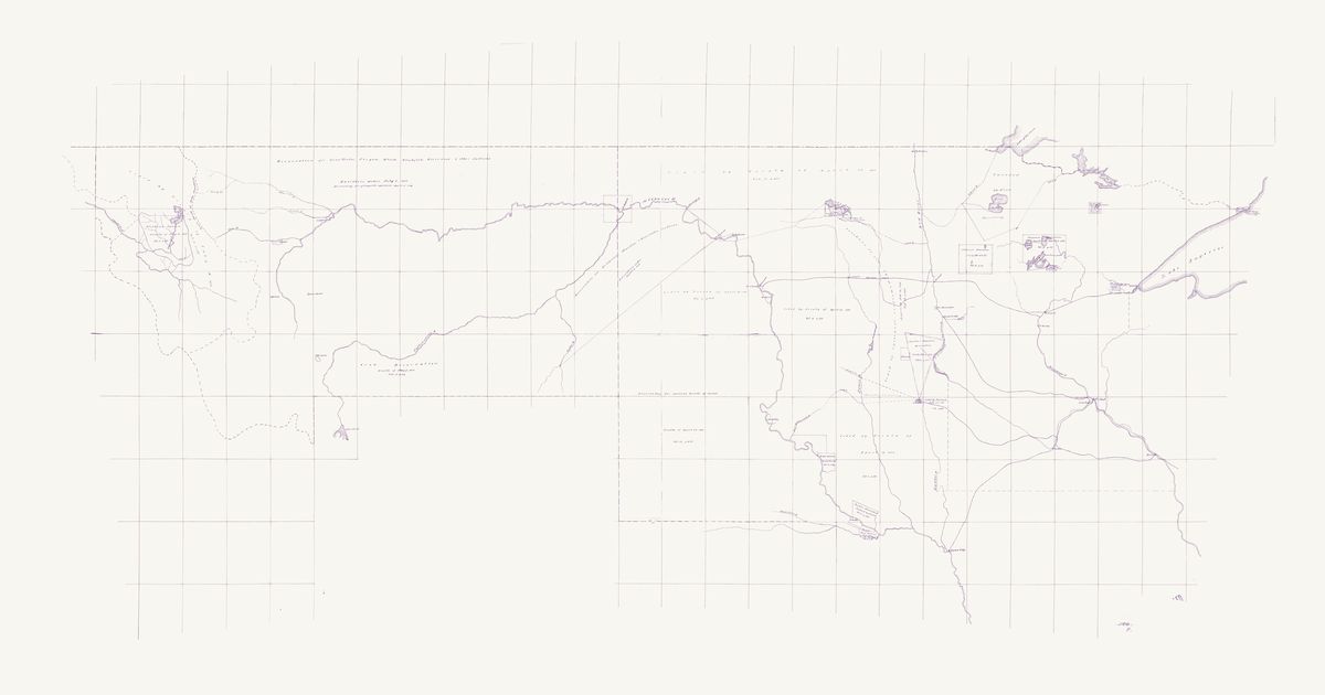
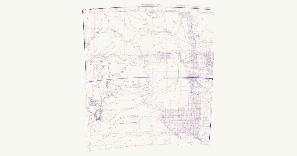
The Army’s skeleton map of the Department of Dakota — Minnesota and the territories of Dakota and Montana — “compiled and drawn in the Engineer’s office, Head Quarters Department of Dakota” in St. Paul under Captain William Ludlow, Corps of Engineers, “from information furnished by Capt. E. W. Smith, Aide-de-camp”, in April 1874: a pen-and-ink manuscript on a one-degree graticule, kept in the War Department’s map collection. Broad red lines bound each Indian reservation, lettered with the treaty, executive order or act that made it and its volume and page in the Statutes at Large, and pink washes mark the lands the map calls unceded. From west to east: the “Flathead Nation” reservation (treaty of July 16, 1855) and the country ceded by that treaty west of the Main Divide; the “Reservation for Gros-Ventre, Piegan, Blood, Blackfeet, River-Crow & other Indians” across northern Montana (executive order of July 5, 1873, “reduced by act of Congress approved April 15, 1874”); the “Crow Reservation” south of the Yellowstone (treaty of May 7, 1868); the “Reservation for Arickaree, Mandan & Gros-ventre Indians” between the Missouri, the Yellowstone and the Powder (executive order of April 12, 1870); the “Reservation for various bands of Sioux” west of the Missouri from the 46th parallel to the Nebraska line (treaty of April 29, 1868), with the country north and east of it lettered “Ceded by Treaty of April 29 1868”; the Brulé Reserve at the Big Bend (treaty of October 14, 1865), the Yankton Reservation (treaty of April 19, 1858) and the lands that treaty ceded, and the Ponca Reserve at the mouth of the Niobrara (treaty of March 10, 1865); the Sisseton and Wahpeton reservations at Devils Lake and Lake Traverse (treaty of February 19, 1867), the Coteau lands “ceded by agreement” confirmed by the act approved February 14, 1873, a pink “Unceded territory” between the James River and Lake Kampeska, and the lands ceded by the treaty of July 23, 1851; and in Minnesota the Chippewa r

Source: National Archives · Rights: public domain
Open in the map

Preview of Dakota Territory, 1878

Dakota Territory, 1878

Department of Dakota (Gen. A. H. Terry), 1878 · about 25 km accuracy

The Army’s 1878 map of Dakota Territory: the Indian trails and military roads between the Missouri River forts, the Great Sioux Reservation of the 1868 treaty, the Black Hills, and the lands of the Mandan, Hidatsa and Arikara, the Sisseton and Wahpeton, and the Yankton.

Source: Library of Congress · Rights: public domain

Open in the map

Preview of Source of the Mississippi, 1832

Source of the Mississippi, 1832

Lt. James Allen, U.S. Infantry, 1832 · about 40 km accuracy

Lieutenant James Allen’s manuscript map of the 1832 expedition that Henry R. Schoolcraft led from Lake Superior to the source of the Mississippi, drawn for the War Department: the route up the St. Louis River and over the Savanna portage to Sandy Lake, up the Mississippi past Pokegama Falls, Lake Winnibigoshish and Cass Lake to Lac Traverse (Lake Bemidji), up its east branch and over the portage to Lake Itasca — “Lac La Biche, Source of the Mississippi” — then by Leech Lake and down the Crow Wing and the Mississippi past the Falls of St. Anthony to Fort Snelling, and up the St. Croix and down the Bois Brule to Lake Superior, with each day’s encampment, portage and rapid noted. It marks Ojibwe (Chippewa) villages at Fond du Lac, Leech Lake, the mouth of the Bois Brule, the Upper St. Croix lake, the Yellow and Kettle rivers and Rice and Muddy lakes in Wisconsin, Dakota (Sioux) villages at Big Stone Lake and below Fort Snelling, and the Sioux–Chippewa line of the 1825 treaty of Prairie du Chien. Three Native routes are drawn and named — an “Indian Route” through a chain of small lakes, with a portage between each, from the expedition’s camp east of Itasca to Leech Lake; an “Indian Route from Leech” south-east through Boy Lake, Turtle Lake and Lac du Canard; and an “Indian Trail” from Muddy Lake to Ottawa Lake (Lac Courte Oreilles) in Wisconsin — Ojibwe routes through their lake country. The Red River valley, which the expedition did not see, is sketched from report; Red Lake, drawn too freely to place, is not shown, nor are the title, north arrow and scale, two labels marking mounds, and the paper lost along the folds.

Source: Wikimedia Commons · Rights: public domain

Open in the map

Preview of Gallatin's tribes of North America, 1836

Gallatin's tribes of North America, 1836

Hon. Albert Gallatin; published by the American Antiquarian Society, Pendleton's Lithography, 1836 · about 100 km accuracy

Albert Gallatin's founding map of American ethnology, published by the American Antiquarian Society with his Synopsis of the Indian Tribes: the homelands of the continent's nations tinted by language family — Algonkin-Lenape, Iroquois, Cherokee, Muskogee, Choctaw-Chickasaw, Sioux, Blackfeet, Pawnee, Athapasca, Eskimaux — as of about 1600 along the Atlantic and about 1800 westward. A continental baseline: every state shows its nations here.

Source: Library of Congress, Geography and Map Division · Rights: public domain

Open in the map

Preview of Dakota nations, 1881 (Indian Office)

Dakota nations, 1881 (Indian Office)

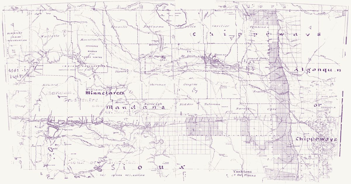
Department of Dakota (Maguire), 1881 · about 4 km accuracy

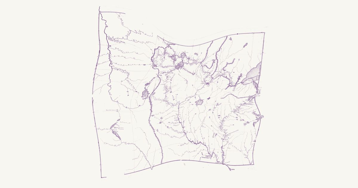
The Army’s map of Dakota Territory from the Engineer Office of the Department of Dakota — the fifth edition, 1881, “revised & corrected under Capt. Edward Maguire” from W. H. Wood’s compilation of 1872 — in the copy the Office of Indian Affairs annotated. Only the northern sheet is here, from the 49th parallel to about 45° 45′; water damage has taken part of the title and the lower edge. A note in the margin says that the “names of Indian tribes [in] black are located from H. S. Tanner’s maps of [the Un]ited States, 1832”: “Chippeways” across the north, “Algonquin or Chippeways” in Minnesota, “Minnetarees” and “Mandans” on the Missouri, “Sioux” across the south and “Yanktons of the Plains” stand where Tanner put them half a century before. The names in blue are the office’s own: “Assiniboin” at the mouth of the Yellowstone, “Mandan, Grosventre and Arickaree” over the Little Missouri and Knife River country, and “Sioux or Dacotah” across the Cannonball country. A washed square keys the “Present Indian Reservation”; the printed map bounds Fort Berthold (executive order of July 13, 1880), Devils Lake and Lake Traverse (treaty of February 19, 1867), the Great Sioux Reservation, White Earth and the edge of the Blackfeet reservation. Hand-drawn lines with partly legible notes mark claimed boundaries: a green line from Fort Berthold east past Devils Lake that “defines the boundary” of a claimed country, a pink line down the James River, pink notes naming the “Turtle Mountain Band of Pembina[s]” on the Mouse River, and over the Red River valley notes for the Red Lake and Pembina bands and the cession of October 2, 1863. In our words: the Oceti Sakowin (Dakota, Lakota, Nakota/Yanktonai), the Mandan, Hidatsa and Arikara, the Ojibwe and Assiniboine, as the Indian Office annotated the territory in the early 1880s. No route on the map is lettered as an Indian trail. The torn edges, the title, the note and key, and the archive’s number are masked.

Source: National Archives · Rights: public domain
Open in the map

Preview of Lakota roads and villages, 1895

Lakota roads and villages, 1895

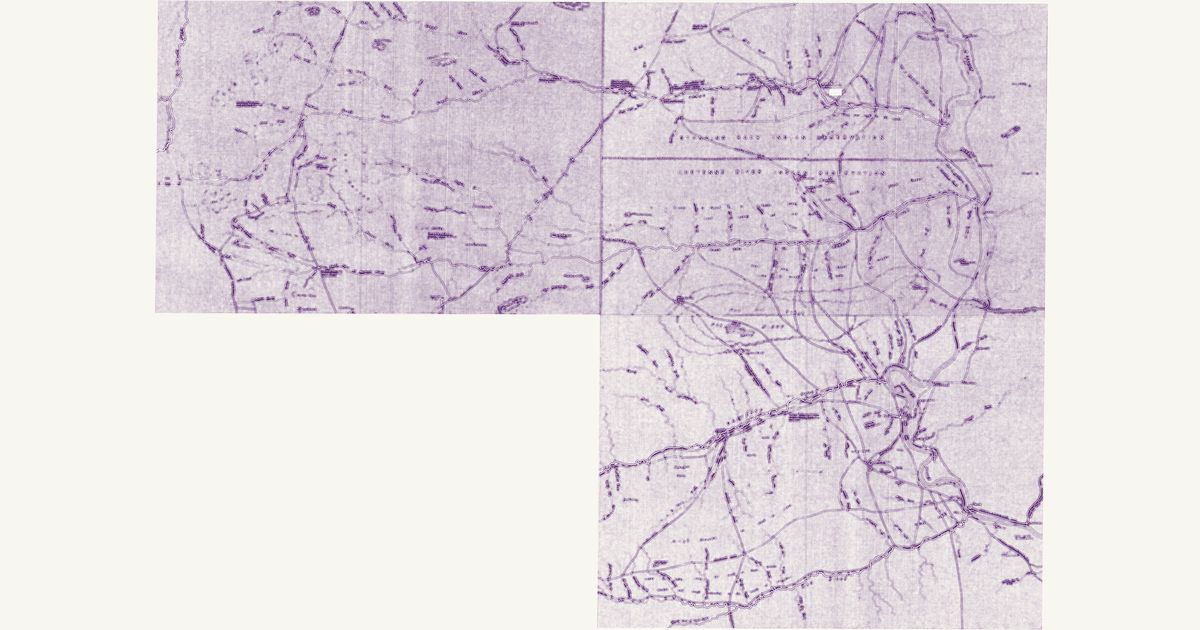
Engineer Office, Headquarters Department of Dakota (1st Lt. H. C. Hale), 1895 · about 10 km accuracy

Three sheets of the Army’s “Military Map Department of Dakota”, prepared in the Engineer Office at the department’s headquarters under 1st Lieutenant H. C. Hale, 20th Infantry, acting engineer officer, in 1895: blueprints at four miles to the inch, each sheet one cell of two degrees of longitude by one of latitude, made for troops in the field — roads and trails, crossings, ranches, and notes on water, wood and grazing (“water in holes”, “no wood or water”). Sheet 28 (104° to 102° W, 45° to 46° N) covers the Cave Hills, the Slim Buttes and the forks of the Grand and the Moreau; sheet 29 (102° to 100° W) the Grand River, the Moreau and the Missouri, with the Standing Rock and Cheyenne River Indian reservations lettered either side of the line between them; sheet 33 (102° to 100° W, 44° to 45° N) the Cheyenne and Bad rivers, Old Fort Bennett, Fort Sully and Pierre. They are joined here along the 102nd meridian and the 45th parallel. On sheet 28 a dashed “Indian trail to Fort Bennett” runs east-south-east along Rabbit Creek; on sheet 33 “Indian Roads” converge on Standing Butte between Old Fort Bennett and Fort Sully, and more “Indian Roads” fan out west of Fort Pierre; on sheet 29 “Indian Villages” are lettered along the Grand River (“all along this river to its mouth”) and along Oak or Rampart Creek. In our words: the Lakota — the Mnikȟówožu, Itázipčho, Sihásapa and Oóhenuŋpa of the Cheyenne River reservation, and the Húŋkpapȟa and Sihásapa of Standing Rock with the Iháŋktȟuŋwaŋna (Yanktonai) — on their reservations in 1895, and the roads between their villages, the agencies and the river. One label, marking an individual’s former camp on the Grand River, is masked.

Source: National Archives · Rights: public domain

Open in the map

Preview of Nicollet's Upper Mississippi, 1843

Nicollet's Upper Mississippi, 1843

J. N. Nicollet, assisted by J. C. Frémont; U.S. War Department, Bureau of the Corps of Topographical Engineers, 1843 · about 25 km accuracy

Joseph Nicollet and John C. Frémont's War Department map of the upper Mississippi country — the most accurate map of its era, made with Dakota and Ojibwe guides. It names each nation's country — Mdewakanton, Wahpekute, Sisseton, Yankton, Yanktonai, Teton, Ojibwe, Ho-Chunk, Sac and Fox, Omaha, Otoe, Ioway, Ponca, Pawnee — with villages and hundreds of Dakota and Ojibwe place names: Mini Wakan, Kichi Gummi, Minsi Sagaigoning.

Source: Library of Congress, Geography and Map Division · Rights: public domain

Open in the map

Preview of Yellowstone and Missouri Rivers, 1868

Yellowstone and Missouri Rivers, 1868

W. F. Raynolds and H. E. Maynadier, 1868 · about 6 km accuracy

The map of the Raynolds expedition of 1859–60, guided by Jim Bridger: the Lakota, Crow and other trails of the Yellowstone and upper Missouri country, the routes of the survey parties day by day, and the Lakota names of the rivers.

Source: Library of Congress · Rights: public domain

Open in the map

Preview of Washington Territory nations, 1857

Washington Territory nations, 1857

Isaac I. Stevens and W. H. Carlton, 1857 · about 41 km accuracy

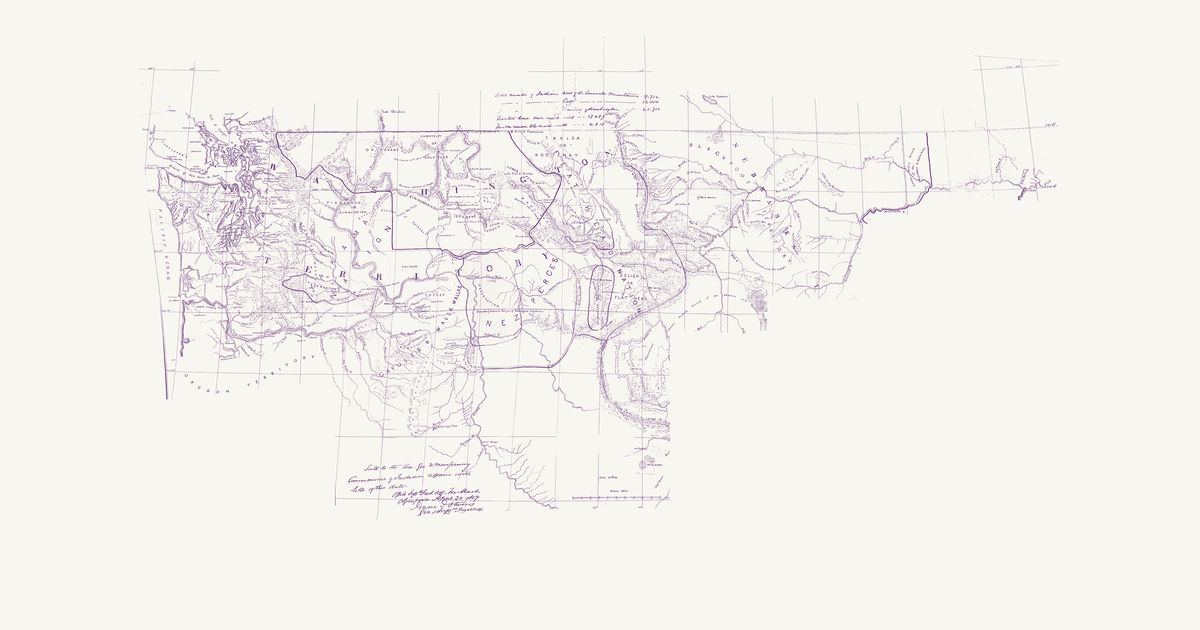
Isaac I. Stevens’s manuscript map for the Commissioner of Indian Affairs, drawn by William H. Carlton in March 1857: the nations of Washington Territory and of Nebraska Territory west of the mouth of the Yellowstone, each named over its country — from the Makah, S’Klallam, Quinault, Nisqually, Duwamish, Snoqualmie, Skagit and Lummi on Puget Sound to the Yakama, Okanagan, Spokane, Coeur d’Alene, Kalispel, Kootenai, Salish (Flathead), Nez Perce, Cayuse and Walla Walla, and the Blackfeet and Assiniboine on the Missouri. Broad coloured lines bound the lands ceded in the treaties of 1854–55 (Medicine Creek, Point Elliott, Point No Point, Neah Bay, Olympia, Walla Walla and Hellgate), with the reservations kept in them painted brown, and the Blackfeet country and the hunting grounds the 1855 treaty at the mouth of the Judith left common to the Blackfeet and the western nations. The Yellowstone country, sketched too freely to place, is not shown; nor are the tables of each nation’s numbers, treaty and reservation.

Source: Wikimedia Commons · Rights: public domain

Open in the map

Preview of Warren's map of the West, 1857

Warren's map of the West, 1857

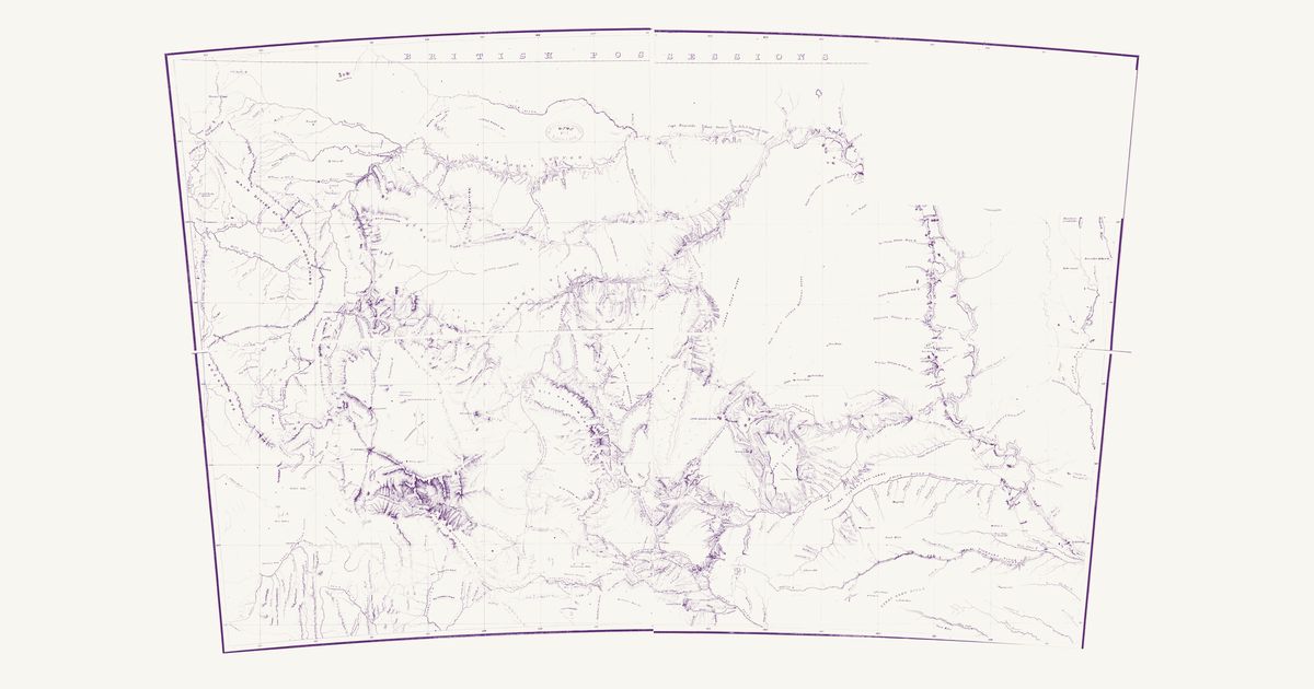
Lieut. G. K. Warren, Topographical Engineers, U.S. War Department, 1857 · about 50 km accuracy

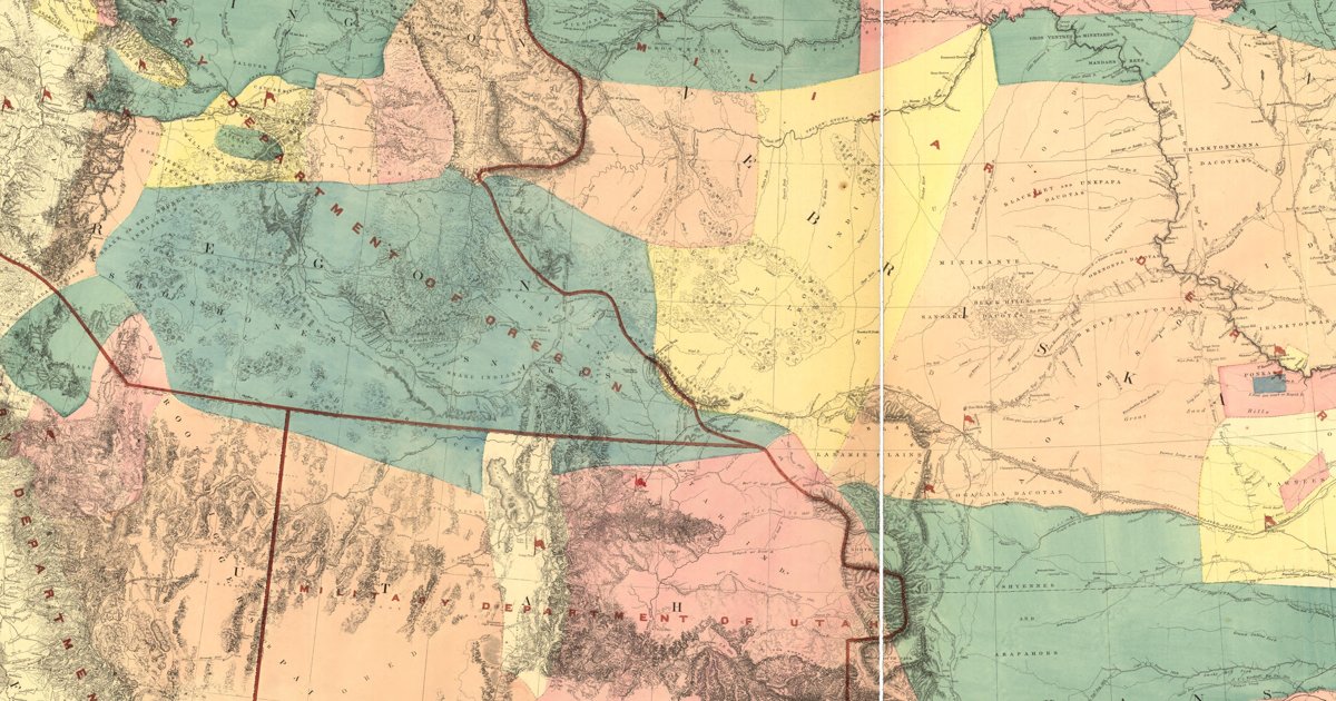
Lieutenant G. K. Warren's master map of the West, compiled in the Office of Pacific Railroad Surveys from every reliable exploration to date: the named country of each nation — Dacotas, Sheyennes, Comanches, Shoshonees, Utahs, Navajoes, Apaches, Blackfeet, Crows, Nez Perces, Pawnees and many more — with villages, forts, and the explorers' and emigrant routes that followed Native trails.

Source: Library of Congress, Geography and Map Division · Rights: public domain

Open in the map

Preview of Nebraska and Dakota, 1857 (Warren)

Nebraska and Dakota, 1857 (Warren)

G. K. Warren, Topographical Engineers, 1857 · about 6 km accuracy

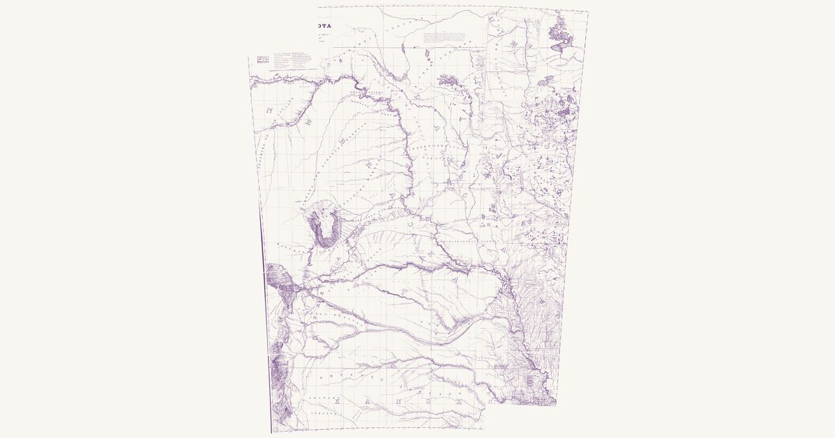
Gouverneur K. Warren’s military map of the northern plains: the lands of each Lakota, Dakota, Cheyenne, Arapaho, Pawnee and other nation as he understood them, the Indian trails and war roads, and the routes of the 1855–57 expeditions.

Source: Library of Congress · Rights: public domain

Open in the map

What the 1843 map shows

Joseph Nicollet mapped the upper Mississippi country in 1836–40 with Dakota and Ojibwe guides, and his War Department map records each nation’s country and hundreds of Dakota and Ojibwe place names — the most accurate map of the region for decades.

Reading the overlay

The southern sheet lands within about ten kilometres; the northern lake country nearer twenty-five. Switch to the scan layer to read the engraved names.

Talk about North Dakota

Discussion board for ND

Start a thread All discussions

Know North Dakota? Join free to add field notes, fix where a place sits on the map, and help find more maps.Join free

Sources from readers

Know a county history, a survey record or an article that bears on this? Add a source — it’s credited to you.

Advertisement