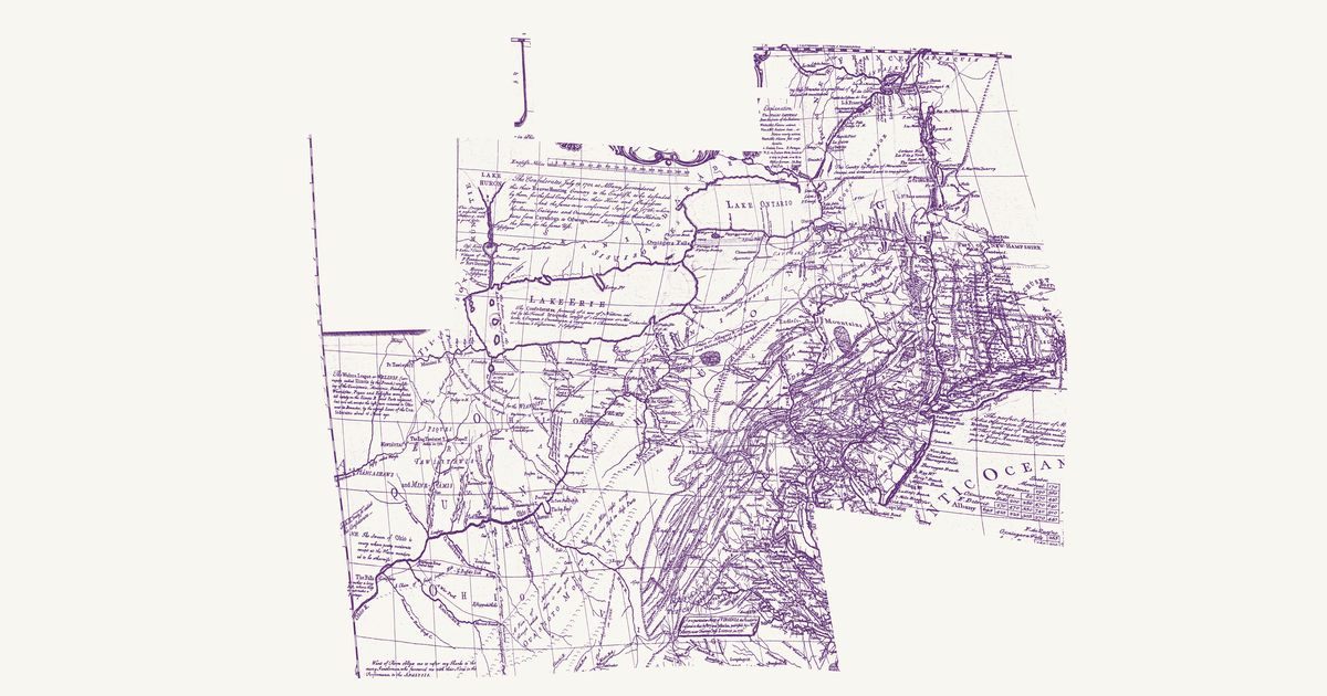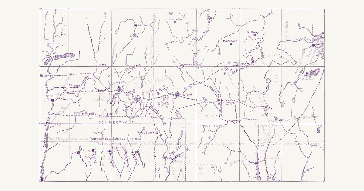
Bay Path and Nipmuc paths (Chase, 1901)
Levi B. Chase, 1901 · about 3 km accuracy
Levi Badger Chase’s map for his 1901 article on Woodward and Saffery’s 1642 survey of the Massachusetts Bay patent’s south line, drawn on a USGS base: the paths of Nipmuc country as he traced them — the Bay Path from South Framingham through Oxford and Sturbridge to Quabaug Old Fort and Springfield, branches to the Great Falls at Holyoke, the Ware River falls and Wickabaug, the path south to Woodstock (Wabaquasset), the Path to Nipmug Great Pond through Mendon — and the path from the Bay to Providence. In red, the 1642 map’s route and notes.
Source: Internet Archive · Rights: public domain