Maine: Native trails and villages

The Wabanaki homeland — Penobscot, Passamaquoddy, Mi'kmaq and Abenaki — on Gallatin's 1836 map of the tribes.

Open full-screen map

Advertisement

Historic maps for Maine

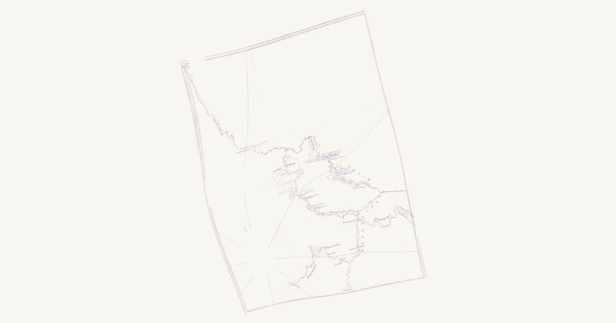
Preview of Penobscot canoe route, 1764

Penobscot canoe route, 1764

Joseph Chadwick, 1764 · about 23 km accuracy

Joseph Chadwick’s manuscript plan of the route he surveyed for Governor Francis Bernard of Massachusetts in June and July 1764, drawn fair by F. Miller: the Penobscot (Panawahpskek) and Wabanaki canoe routes and carries between the Penobscot, Moosehead Lake and the Chaudière, which Chadwick travelled with Penobscot guides — the site’s first map of Maine. A dotted line follows his traverse from Fort Pownall up the Penobscot past Penobscot Town (Indian Island) and Passadamkee Town (Passadumkeag), up the “Piscataquess River” to “Sobec” (Sebec Lake) and by a chain of ponds and lettered portages to “Lake Sebem” (Moosehead); up the lake past Kineo and over the carry at its north end to the West Branch; up the West Branch to two lettered “Carrying Places” by the height of land (by Penobscot Lake and Lac du Portage, as we read them) and down the Wolf River (Rivière du Loup) and the Chaudière to the settlements, where a road runs on to Quebec. The way back comes down the West Branch through “Gesungook” (Chesuncook), “Bemmedumcook” (Pemadumcook) and Quakish lakes, with their portages, past Maddewamcaig Town (Mattawamkeag); a third leg leaves the Penobscot at Hampden by the Souadabscook and portages to “Naulombages”, “Nexaongermeek” and “Nalawbongon Pond” (Etna Pond, Pleasant Lake and Sebasticook Lake, as we read them) and goes down the Sebasticook to the Kennebec at Fort Halifax. The map also draws the Passadumkeag River and the portage from its head to “The Head of Passamaquoddy, West Branch”, the St. Croix waters. Many of its ponds, falls, hills and streams carry Penobscot names as Chadwick wrote them. The map does not letter the route as an Indian one; it is the guides’ canoe route as the surveyor recorded it. Not shown: the title, the compass rose, the scale, the margins, and the St. Lawrence below Quebec with the Île d’Orléans, which the map draws turned far from its course.

Source: William L. Clements Library, University of Michigan · Rights: public domain

Open in the map

Preview of Gallatin's tribes of North America, 1836

Gallatin's tribes of North America, 1836

Hon. Albert Gallatin; published by the American Antiquarian Society, Pendleton's Lithography, 1836 · about 100 km accuracy

Albert Gallatin's founding map of American ethnology, published by the American Antiquarian Society with his Synopsis of the Indian Tribes: the homelands of the continent's nations tinted by language family — Algonkin-Lenape, Iroquois, Cherokee, Muskogee, Choctaw-Chickasaw, Sioux, Blackfeet, Pawnee, Athapasca, Eskimaux — as of about 1600 along the Atlantic and about 1800 westward. A continental baseline: every state shows its nations here.

Source: Library of Congress, Geography and Map Division · Rights: public domain

Open in the map

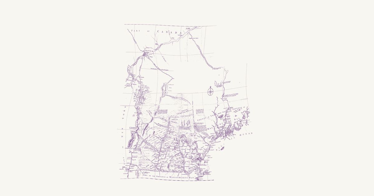
Preview of New Hampshire, 1761 (Blanchard and Langdon)

New Hampshire, 1761 (Blanchard and Langdon)

Joseph Blanchard and Samuel Langdon, 1761 · about 20 km accuracy

Joseph Blanchard and Samuel Langdon’s map of New Hampshire, dedicated at Portsmouth in October 1761 and engraved in London by Thomas Jefferys: the province and the country around it in the last French war, from Albany and Lake Champlain to Penobscot Bay and north to Quebec and the St. Lawrence. Its notes record the Wabanaki (Abenaki) ways north to Canada as the colonists of the wars knew them: the “Indian carrying Place from Kennebeck into the River Chaudiere”, drawn as a double-pricked line through three ponds; the Chaudière, “drawn agreable to the Accounts which the Indians give of their Travelling to Canada this way”; the river and lakes by which “Lieut. Starks was led Captive by the Indians from Connecticut River to Canada 1752”; and the ways captives were taken up the Black River, and up Wells River and down the French River toward Lake Champlain. It marks St. Francis (Odanak) by Lake St. Peter, notes Norridgewock on the Kennebec as the seat of a Wabanaki people, and records what “is said by the Indians” of a short carrying place between the heads of the Connecticut and the Androscoggin. This copy carries contemporary ink additions — the New Hampshire Grants townships west of the Connecticut and some northern rivers — left as they are; the upper Chaudière, drawn from report too freely to place, is not shown.

Source: Library of Congress · Rights: public domain

Open in the map

What the 1836 map shows

Albert Gallatin’s map — the founding map of American ethnology — tints each language family’s homelands: the Atlantic states as of about 1600, the west as of about 1800. It is the continental baseline; a dedicated state map replaces it as each state’s overlay is built.

Reading the overlay

At 1:18,000,000 read the tints as regions, not lines. The scan layer carries the color key.

Talk about Maine

Discussion board for ME

Start a thread All discussions

Know Maine? Join free to add field notes, fix where a place sits on the map, and help find more maps.Join free

Sources from readers

Know a county history, a survey record or an article that bears on this? Add a source — it’s credited to you.

Advertisement